Urk Lighthouse
Located in Urk Municipality, Flevoland Coordinates: 52°39′39″ N 5°35′31″ E
- Local time
- UTC+01:00
- Europe/Amsterdam · UTC+01:00
- Elevation
- 3 m
- above sea level
About Urk Lighthouse
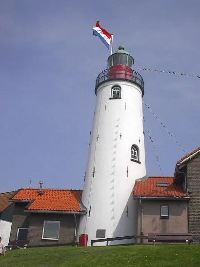
Urk Lighthouse is a landmark. Location: Urk Municipality, Flevoland.
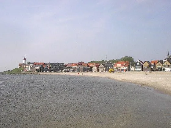
Urk Lighthouse is a lighthouse in Urk at the eastern banks of the IJsselmeer in the Netherlands. From 1617 a coal fire was used for the local fishermen as well as for the ships sailing from Amsterdam to the North Sea. The current lighthouse station was established in 1837. The tower was built in 1845 as a round brick tower attached to a keeper's house. A Fresnel lens is still in use. The lighthouse was restored in 1972 and declared a national monument of the Netherlands in 1982.
Read more on Wikipedia Text: Wikipedia contributors · CC BY-SA 4.0 · shortened
At a glance
- Heritage designation
- Rijksmonument
- Height
- 18 m
Source: Wikidata
Nearby attractions & nature
Everything nearby-
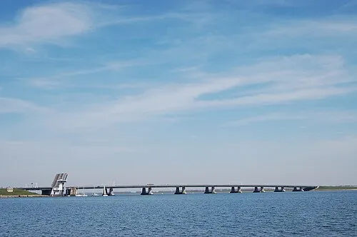 Ketelbrug Landmark, Dronten Municipality6.5 km SE
-
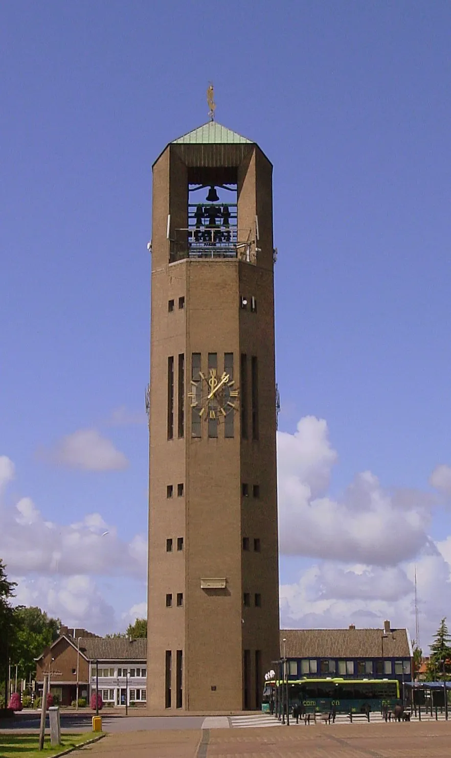 Poldertoren Landmark, Noordoostpolder Municipality12 km NE
-
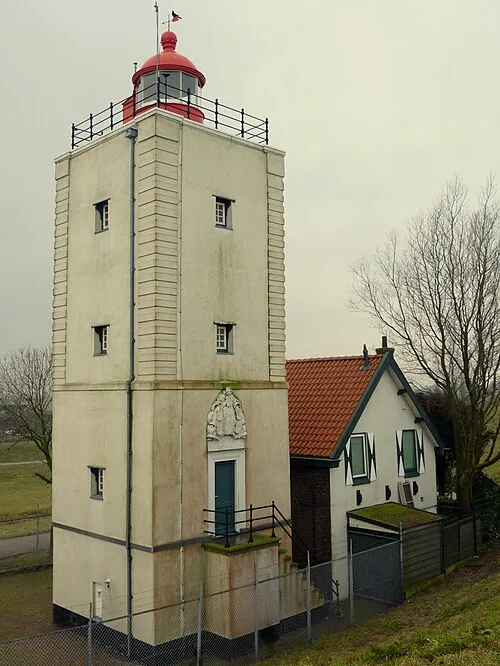 De Ven Landmark, Gemeente Enkhuizen23 km NW
Nearest towns and villages
Sources & licences
Data last updated: · 2 independent sources