Nagele
Located in Noordoostpolder Municipality, Flevoland Coordinates: 52°38′39″ N 5°43′30″ E
- Population
- 1,940
- 1.9K
- Elevation
- -2 m
- above sea level
- Local time
- UTC+01:00
- Europe/Amsterdam · UTC+01:00
- Airports
- AMS Amsterdam Airport Schiphol75 km
- GRQ Groningen Airport Eelde78 km
About Nagele
Nagele is a village. Location: Noordoostpolder Municipality, Flevoland. Population: 1,940. Elevation: -2 m.
Nagele is a village in the Dutch province of Flevoland. It is a part of the municipality of Noordoostpolder, and lies about 10 km south of Emmeloord.
Source: Wikipedia · CC BY-SA 4.0
Climate of Nagele
Best months for sightseeingBest months for sightseeing: June–August.
This month · November
A cold month
Day 9° · Night 4° · Rain 79 mm
- Hottest month
- August (day 22°)
- Coldest month
- January (night 1°)
- Wettest month
- September (79 mm)
- Driest month
- April (44 mm)
Bars: average monthly low and high temperature. Below: precipitation. Monthly averages for 1970–2000 at about 18 km resolution, adjusted for elevation. Highlighted months are mild and relatively dry. Source: WorldClim 2.1 (CC BY 4.0).
Show values as a table
| Month | Jan | Feb | Mar | Apr | May | Jun | Jul | Aug | Sep | Oct | Nov | Dec |
|---|---|---|---|---|---|---|---|---|---|---|---|---|
| Average high (°C) | 5° | 6° | 9° | 13° | 18° | 20° | 22° | 22° | 19° | 14° | 9° | 6° |
| Average low (°C) | 1° | 1° | 2° | 4° | 8° | 11° | 13° | 13° | 10° | 7° | 4° | 1° |
| Precipitation (mm) | 64 | 47 | 60 | 44 | 58 | 78 | 73 | 65 | 79 | 74 | 79 | 73 |
How to get to Nagele
The nearest airport is Amsterdam Airport Schiphol (AMS), 75 km to the southwest as the crow flies. The nearest large city is Zwolle, 29 km to the southeast.
Airports
- Amsterdam Airport Schiphol (AMS) Amsterdam 75 kmsouthwest
- Groningen Airport Eelde (GRQ) Groningen 78 kmnortheast
- Rotterdam The Hague Airport (RTM) Rotterdam 116 kmsouthwest
Nearby large cities
- Zwolle Population: 129.8K 29 kmsoutheast
- Almere Stad Population: 176.4K 46 kmsouthwest
- Apeldoorn Population: 136.7K 51 kmsouth
- Amersfoort Population: 139.9K 59 kmsouthwest
- Leeuwarden Population: 124.5K 62 kmnorth
Straight-line distances; road distances are longer. Airport data: OurAirports.
Nearby attractions & nature
Everything nearby-
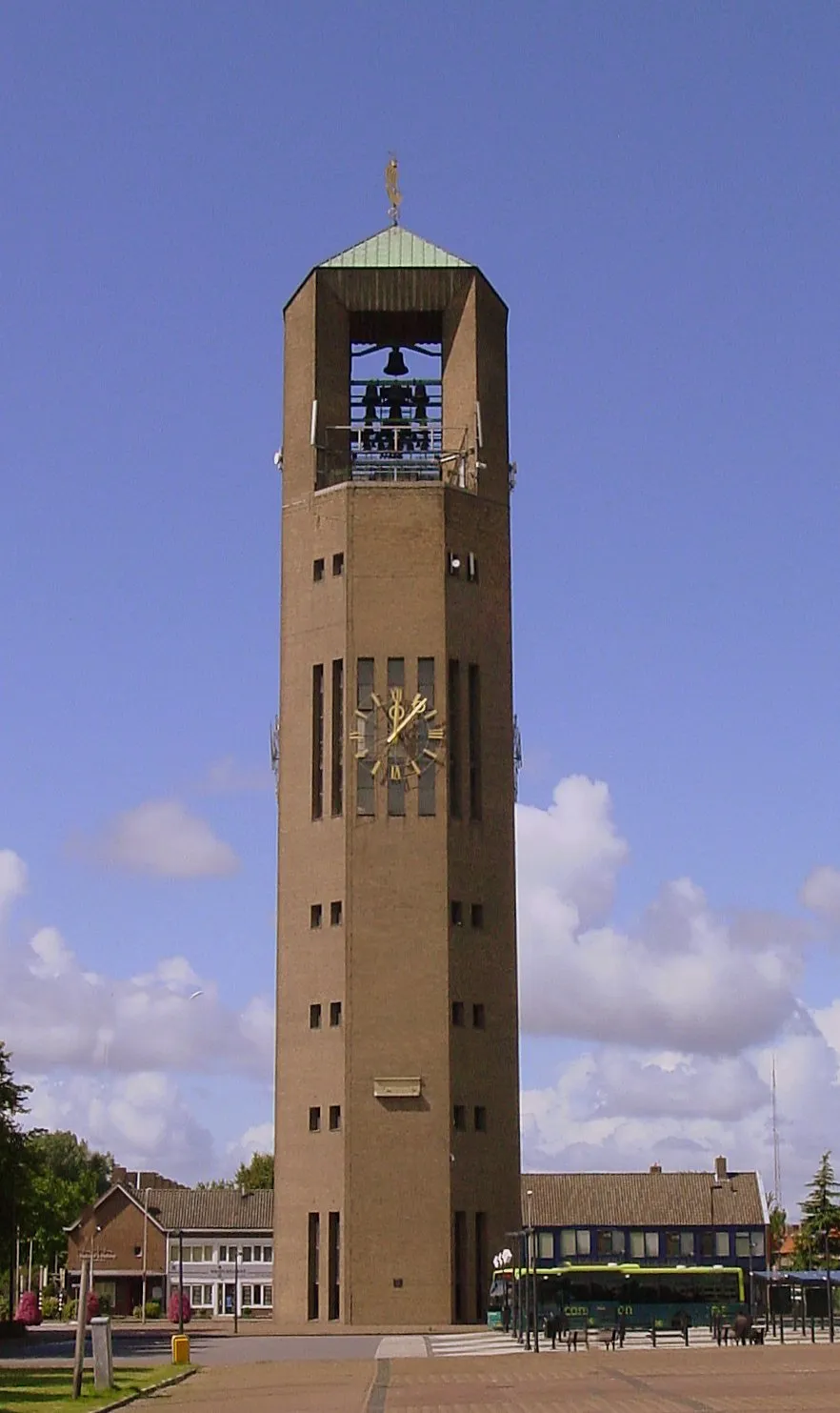 Poldertoren Landmark, Noordoostpolder Municipality7.5 km N
-
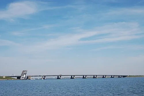 Ketelbrug Landmark, Dronten Municipality6.4 km SW
-
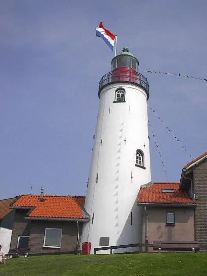 Urk Lighthouse Landmark, Urk Municipality9.2 km W
Sources & licences
Data last updated: · 2 independent sources