Oosterwolde
Located in Ooststellingwerf Municipality, Friesland Coordinates: 52°59′30″ N 6°17′27″ E
- Population
- 9,245
- 9.2K
- Elevation
- 8 m
- above sea level
- Local time
- UTC+01:00
- Europe/Amsterdam · UTC+01:00
About Oosterwolde
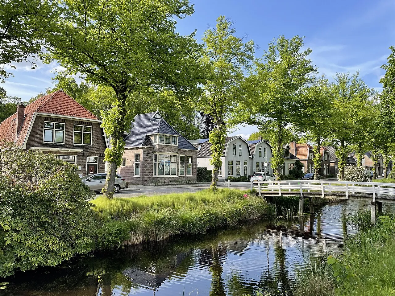
Oosterwolde is a town. Location: Ooststellingwerf Municipality, Friesland. Population: 9,245. Elevation: 8 m.
Oosterwolde (West Frisian: Easterwâlde) is the largest town in the municipality of Ooststellingwerf in the south-east of Friesland, the Netherlands. It is located to east from Heerenveen, west from Assen, south-east from Drachten. Oosterwolde developed primarily along the Opsterlandse Compagnonsvaart canal in the 19th century, where most of the industry was located.
Read more on Wikipedia Text: Wikipedia contributors · CC BY-SA 4.0 · shortened
In comparison
- Most populous of 13 places in Ooststellingwerf Municipality
- Nearest larger town: Assen, 18 km E
Nearby attractions & nature
Everything nearby-
Boschberg Mountain, Ooststellingwerf Municipality5.9 km SE
-
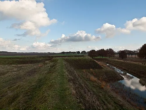 Zwartendijksterschans Historic site, Gemeente Noordenveld11 km N
-
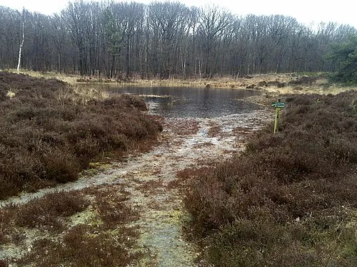 Kiekenberg Mountain, Heerenveen Municipality14 km W
-
Bendersche Berg Mountain, Gemeente Westerveld23 km S
-
Havelterberg Mountain, Gemeente Westerveld23 km S
Sources & licences
Data last updated: · 2 independent sources