Ooststellingwerf Municipality
Located in Friesland, The Netherlands Coordinates: 52°58′58″ N 6°16′31″ E
- Population
- 25,464
- 25.5K
- Elevation
- 6 m
- above sea level
- Local time
- UTC+01:00
- Europe/Amsterdam · UTC+01:00
- Places inside
- 16
- listed under Ooststellingwerf Municipality
About Ooststellingwerf Municipality
Ooststellingwerf Municipality is a district. Location: Friesland, The Netherlands. Population: 25,464.
In comparison
- Listed here: Village: 14, Mountain: 1, Town: 1
Places in Ooststellingwerf Municipality
16 places-
Oosterwolde Town9.2K
-
Appelscha Village4K
-
Haulerwijk Village2.9K
-
Oldeberkoop Village1.2K
-
Donkerbroek Village1.1K
-
Makkinga Village630
-
Waskemeer Village550
-
Haule Village415
-
Elsloo Village365
-
Fochteloo Village305
-
Langedijke Village295
-
Ravenswoud Village260
-
Nijeberkoop Village45
-
Boschberg Mountain
-
Medhuizen Village
-
Middelburen Village
Nearby attractions & nature
Everything nearby-
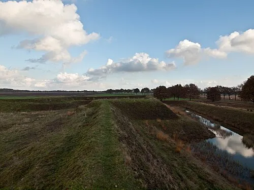 Zwartendijksterschans Historic site, Gemeente Noordenveld13 km NE
-
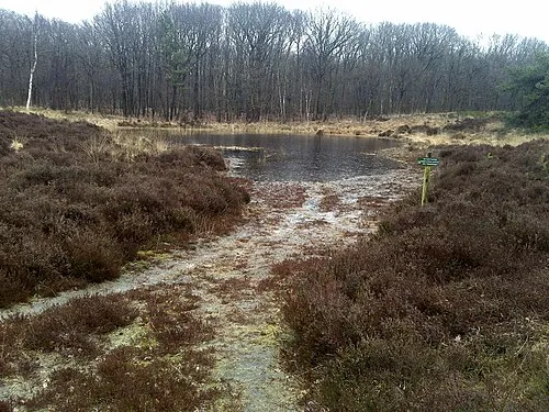 Kiekenberg Mountain, Heerenveen Municipality13 km W
-
Bendersche Berg Mountain, Gemeente Westerveld23 km S
-
Havelterberg Mountain, Gemeente Westerveld21 km S
Sources & licences
Data last updated: