Haule
Located in Ooststellingwerf Municipality, Friesland Coordinates: 53°02′09″ N 6°18′19″ E
- Population
- 415
- 415
- Elevation
- 8 m
- above sea level
- Local time
- UTC+01:00
- Europe/Amsterdam · UTC+01:00
About Haule
Haule is a village. Location: Ooststellingwerf Municipality, Friesland. Population: 415. Elevation: 8 m.
Haule (West Frisian: De Haule) is a village consisting of about 600 inhabitants in the municipality of Ooststellingwerf in the east of Friesland in the Netherlands. The village was first mentioned in 1408 as Die Hauwele. The etymology is unclear. Haule started as a stretched agricultural community on a sandy ridge surrounded by moorland. Up to the 16th century, wolves used to roam the wilderness. The church was built in 1328. Haule was home to 142 people in 1840.
Read more on Wikipedia Text: Wikipedia contributors · CC BY-SA 4.0 · shortened
In comparison
- No. 8 of 13 places in Ooststellingwerf Municipality by population
- Nearest larger town: Waskemeer, 3 km NW
Nearby attractions & nature
Everything nearby-
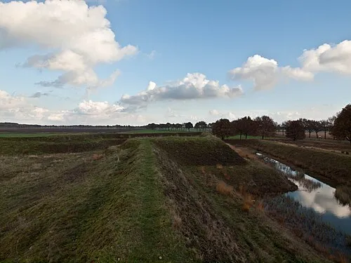 Zwartendijksterschans Historic site, Gemeente Noordenveld6.3 km NE
-
Boschberg Mountain, Ooststellingwerf Municipality10 km S
-
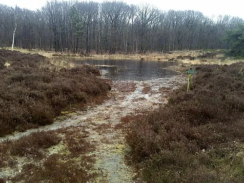 Kiekenberg Mountain, Heerenveen Municipality17 km SW
Sources & licences
Data last updated: · 2 independent sources