Makkinga
Located in Ooststellingwerf Municipality, Friesland Coordinates: 52°58′51″ N 6°13′03″ E
- Population
- 630
- 630
- Elevation
- 6 m
- above sea level
- Local time
- UTC+01:00
- Europe/Amsterdam · UTC+01:00
About Makkinga
Makkinga is a village. Location: Ooststellingwerf Municipality, Friesland. Population: 630. Elevation: 6 m.
Makkinga (West Frisian: Makkingea) is a village in the Dutch municipality of Ooststellingwerf in the province of Friesland. On 1 January 2017, it had 1,040 inhabitants. Makkinga is known among transportation planners and engineers as the first community to introduce the concept of shared space, which means the removal of traffic controls in the high street to encourage safer interaction between vehicles and pedestrians.
Read more on Wikipedia Text: Wikipedia contributors · CC BY-SA 4.0 · shortened
In comparison
- No. 6 of 13 places in Ooststellingwerf Municipality by population
- Nearest larger town: Hoornsterzwaag, 4 km NW
- 2 sights and natural places within 10 km Kiekenberg, Boschberg
Nearby attractions & nature
Everything nearby-
Boschberg Mountain, Ooststellingwerf Municipality9.2 km SE
-
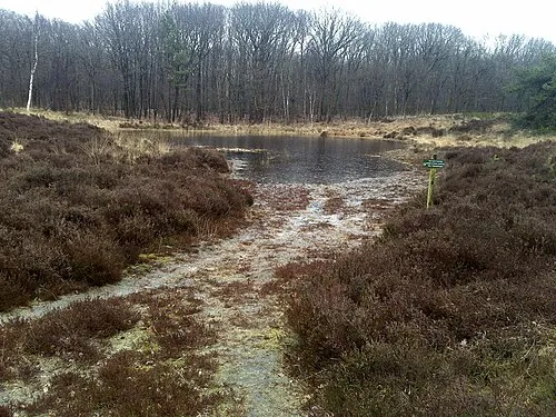 Kiekenberg Mountain, Heerenveen Municipality9.1 km W
-
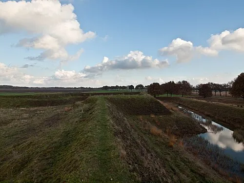 Zwartendijksterschans Historic site, Gemeente Noordenveld15 km NE
-
Bendersche Berg Mountain, Gemeente Westerveld24 km SE
-
Havelterberg Mountain, Gemeente Westerveld21 km S
Sources & licences
Data last updated: · 2 independent sources