Weststellingwerf Municipality
Located in Friesland, The Netherlands Coordinates: 52°52′35″ N 6°01′12″ E
- Population
- 26,130
- 26.1K
- Elevation
- -1 m
- above sea level
- Local time
- UTC+01:00
- Europe/Amsterdam · UTC+01:00
- Places inside
- 26
- listed under Weststellingwerf Municipality
About Weststellingwerf Municipality
Weststellingwerf Municipality is a district. Location: Friesland, The Netherlands. Population: 26,130.
In comparison
- Listed here: Village: 25, City: 1
Places in Weststellingwerf Municipality
26 places-
Wolvega City13.1K
-
Noordwolde Village3.6K
-
Oldeholtpade Village980
-
Steggerda Village810
-
De Blesse Village710
-
Oosterstreek Village555
-
Boijl Village525
-
Nijeholtpade Village375
-
Munnekeburen Village370
-
Scherpenzeel Village355
-
Blesdijke Village325
-
De Hoeve Village300
-
Ter Idzard Village250
-
Sonnega Village210
-
Oldelamer Village190
-
Oldetrijne Village170
-
Nijeholtwolde Village150
-
Vinkega Village130
-
Langelille Village125
-
Nijelamer Village105
-
Spanga Village65
-
Peperga Village60
-
Nijetrijne Village50
-
Slijkenburg Village35
-
Oldeholtwolde Village30
-
Zandhuizen Village
Nearby attractions & nature
Everything nearby-
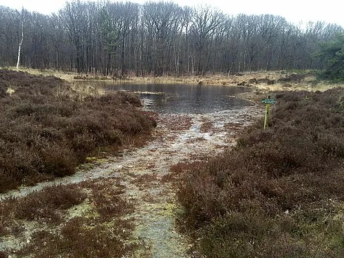 Kiekenberg Mountain, Heerenveen Municipality9.6 km NE
-
Havelterberg Mountain, Gemeente Westerveld17 km SE
-
Boschberg Mountain, Ooststellingwerf Municipality23 km E
Sources & licences
Data last updated: