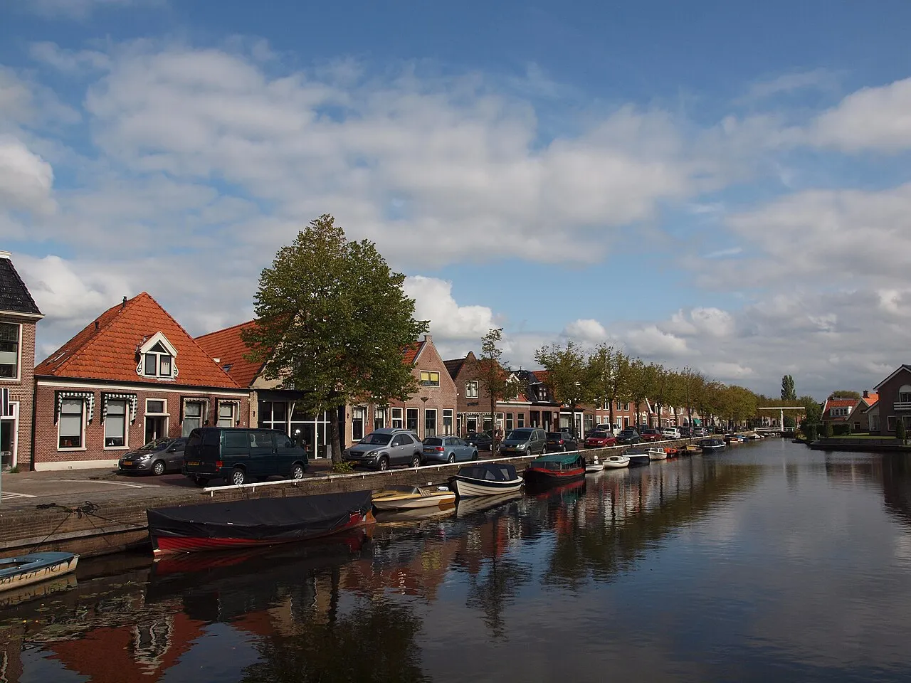
De Fryske Marren Municipality
Located in Friesland, The Netherlands Coordinates: 52°58′09″ N 5°46′21″ E
- Population
- 51,778
- 51.8K
- Elevation
- -2 m
- above sea level
- Local time
- UTC+01:00
- Europe/Amsterdam · UTC+01:00
- Places inside
- 60
- listed under De Fryske Marren Municipality
- Airports
- GRQ Groningen Airport Eelde57 km
- AMS Amsterdam Airport Schiphol100 km
About De Fryske Marren Municipality
De Fryske Marren Municipality is a district. Location: Friesland, The Netherlands. Population: 51,778. The best months to visit are June–August. The nearest airport is Groningen Airport Eelde (57 km).
Climate of De Fryske Marren Municipality
Best months for sightseeingBest months for sightseeing: June–August.
This month · November
A cold month
Day 9° · Night 4° · Rain 84 mm
- Hottest month
- August (day 21°)
- Coldest month
- January (night 0°)
- Wettest month
- November (84 mm)
- Driest month
- April (44 mm)
Bars: average monthly low and high temperature. Below: precipitation. Monthly averages for 1970–2000 at about 18 km resolution, adjusted for elevation. Highlighted months are mild and relatively dry. Source: WorldClim 2.1 (CC BY 4.0).
Show values as a table
| Month | Jan | Feb | Mar | Apr | May | Jun | Jul | Aug | Sep | Oct | Nov | Dec |
|---|---|---|---|---|---|---|---|---|---|---|---|---|
| Average high (°C) | 5° | 6° | 9° | 12° | 17° | 19° | 21° | 21° | 18° | 14° | 9° | 6° |
| Average low (°C) | 0° | 0° | 2° | 4° | 8° | 10° | 12° | 12° | 10° | 7° | 4° | 1° |
| Precipitation (mm) | 68 | 50 | 60 | 44 | 57 | 73 | 73 | 61 | 79 | 78 | 84 | 78 |
How to get to De Fryske Marren Municipality
The nearest airport is Groningen Airport Eelde (GRQ), 57 km to the east as the crow flies. The nearest large city is Leeuwarden, 26 km to the north.
Airports
- Groningen Airport Eelde (GRQ) Groningen 57 kmeast
- Amsterdam Airport Schiphol (AMS) Amsterdam 100 kmsouthwest
- Rotterdam The Hague Airport (RTM) Rotterdam 145 kmsouthwest
Nearby large cities
- Leeuwarden Population: 124.5K 26 kmnorth
- Zwolle Population: 129.8K 55 kmsoutheast
- Groningen Population: 244.8K 60 kmnortheast
- Almere Stad Population: 176.4K 77 kmsouthwest
- Apeldoorn Population: 136.7K 86 kmsouth
Straight-line distances; road distances are longer. Airport data: OurAirports.
Day trips from De Fryske Marren Municipality
Within 100 km: 95 historic and cultural sites, 102 natural sites, 36 lakes, rivers and coasts.
0–25 km1 place
- Kiekenberg Mountain 21 kmE
25–60 km26 places
- Ameland Island 53 kmN
- Het Rif Beach 60 kmNE
- Het Hen Beach 56 kmN
- Beach Ameland Beach 55 kmN
60–100 km206 places
- Texel Island 64 kmW
- Borkum Island 92 kmNE
- Putjensberg Mountain 65 kmS
- Nordstrand Beach 98 kmNE
Straight-line distances.
Places in De Fryske Marren Municipality
60 places- 1 Joure 13.1K
- 2 Lemmer 10K
- 3 Balk 3.9K
- 4 Sint Nicolaasga 3.3K
- 5 Oudehaske 2K
- 6 Oudemirdum 1.3K
- 7 Sintjohannesga 1.3K
- 8 Echtenerbrug 1.2K
- 9 Langweer 1.1K
- 10 Bakhuizen 1.1K
- 11 Oosterzee 900
- 12 Scharsterbrug 825
- 13 Terherne 775
- 14 Sloten 735
- 15 Rottum 660
- 16 Wijckel 640
- 17 Bantega 635
- 18 Rotsterhaule 575
- 19 Haskerhorne 570
- 20 Nijemirdum 545
- 21 Delfstrahuizen 515
- 22 Idskenhuizen 490
- 23 Harich 465
- 24 Sondel 410
- 25 Vegelinsoord 385
- 26 Tjerkgaast 380
- 27 Ouwsterhaule 365
- 28 Elahuizen 350
- 29 Oosterzee-Buren 350
- 30 Rohel 270
- 31 Oudega 260
- 32 Goingarijp 250
- 33 Echten 240
- 34 Terkaple 230
- 35 Broek 200
- 36 Rotstergaast 195
- 37 Rijs 165
- 38 Follega 160
- 39 Ruigahuizen 120
- 40 Akmarijp 115
- 41 Mirns 115
- 42 Boornzwaag 105
- 43 Doniaga 95
- 44 Ouwster-Nijega 85
- 45 Oldeouwer 80
- 46 Snikzwaag 65
- 47 Dijken 60
- 48 Kolderwolde 55
- 49 Nijehaske 50
- 50 Eesterga 45
- 51 Legemeer 40
- 52 Teroele 30
Bar: population relative to the most populous place in this list.
Cities & villages8
- Commissiepolle · Village
- Delburen · Village
- Finkeburen · Village
- Nieuw Amerika · Village
- Polle · Village
- Spannenburg · Village
- Tacozijl · Village
- Zevenbuurt · Village
Sources & licences
Data last updated: