Oldetrijne
Located in Weststellingwerf Municipality, Friesland Coordinates: 52°51′43″ N 5°56′53″ E
- Population
- 170
- 170
- Elevation
- -1 m
- above sea level
- Local time
- UTC+01:00
- Europe/Amsterdam · UTC+01:00
- Airports
- GRQ Groningen Airport Eelde51 km
- AMS Amsterdam Airport Schiphol101 km
About Oldetrijne
Oldetrijne is a village. Location: Weststellingwerf Municipality, Friesland. Population: 170. Elevation: -1 m.
Oldetrijne (West Frisian: Aldetrine) is a village in Weststellingwerf in the province of Friesland, the Netherlands. It had a population of around 210 in 2017. The village was first mentioned in 1320 as Ostrinde, and means "old border line". Olde (old) has been added to distinguish from Nijetrijne. Oldetrijne is a road village which developed along the Schoterzijl to Wolvega road. The Dutch Reformed church dates from 1870. In 1979, the church is also in use as the village house.
Source: Wikipedia · CC BY-SA 4.0
Climate of Oldetrijne
Best months for sightseeingBest months for sightseeing: June–August.
This month · November
A cold month
Day 9° · Night 3° · Rain 84 mm
- Hottest month
- August (day 22°)
- Coldest month
- January (night 0°)
- Wettest month
- November (84 mm)
- Driest month
- April (46 mm)
Bars: average monthly low and high temperature. Below: precipitation. Monthly averages for 1970–2000 at about 18 km resolution, adjusted for elevation. Highlighted months are mild and relatively dry. Source: WorldClim 2.1 (CC BY 4.0).
Show values as a table
| Month | Jan | Feb | Mar | Apr | May | Jun | Jul | Aug | Sep | Oct | Nov | Dec |
|---|---|---|---|---|---|---|---|---|---|---|---|---|
| Average high (°C) | 5° | 6° | 9° | 13° | 17° | 19° | 22° | 22° | 18° | 14° | 9° | 6° |
| Average low (°C) | 0° | 0° | 2° | 4° | 8° | 10° | 12° | 12° | 10° | 7° | 3° | 1° |
| Precipitation (mm) | 70 | 51 | 62 | 46 | 58 | 76 | 75 | 63 | 78 | 78 | 84 | 78 |
How to get to Oldetrijne
The nearest airport is Groningen Airport Eelde (GRQ), 51 km to the northeast as the crow flies. The nearest large city is Leeuwarden, 39 km to the north.
Airports
- Groningen Airport Eelde (GRQ) Groningen 51 kmnortheast
- Amsterdam Airport Schiphol (AMS) Amsterdam 101 kmsouthwest
- Weeze (Niederrhein) Airport (NRN) Weeze 141 kmsouth
Nearby large cities
- Leeuwarden Population: 124.5K 39 kmnorth
- Zwolle Population: 129.8K 40 kmsouth
- Groningen Population: 244.8K 57 kmnortheast
- Apeldoorn Population: 136.7K 73 kmsouth
- Almere Stad Population: 176.4K 74 kmsouthwest
Straight-line distances; road distances are longer. Airport data: OurAirports.
Nearby attractions & nature
Everything nearby-
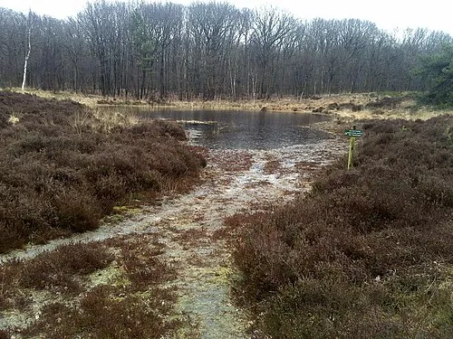 Kiekenberg Mountain, Heerenveen Municipality14 km NE
-
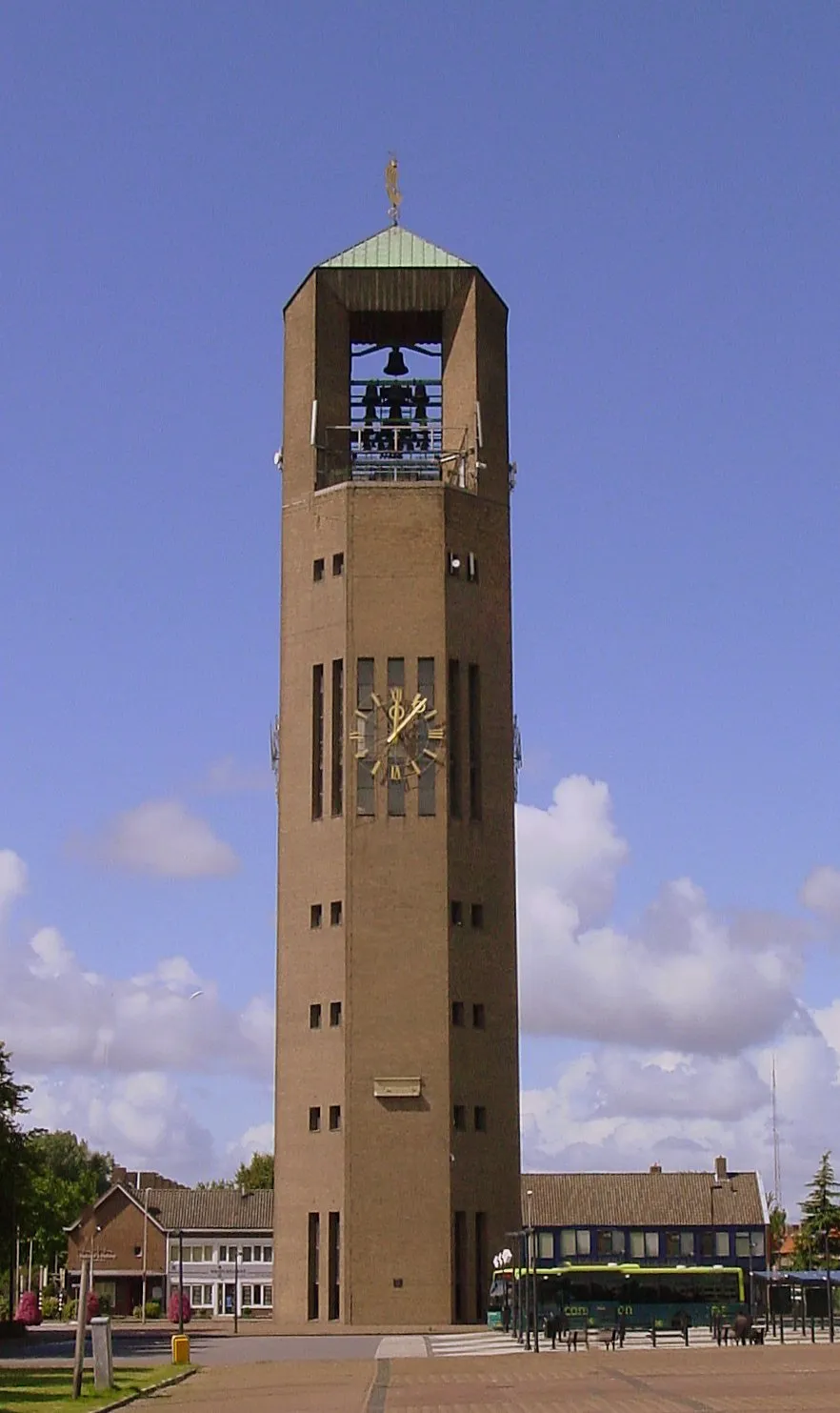 Poldertoren Landmark, Noordoostpolder Municipality22 km SW
-
Havelterberg Mountain, Gemeente Westerveld20 km E
Sources & licences
Data last updated: · 2 independent sources