Wolvega
Located in Weststellingwerf Municipality, Friesland Coordinates: 52°52′32″ N 5°59′49″ E

- Population
- 13,090
- 13.1K
- Elevation
- 5 m
- above sea level
- Local time
- UTC+01:00
- Europe/Amsterdam · UTC+01:00
About Wolvega
Wolvega is a city. Location: Weststellingwerf Municipality, Friesland. Population: 13,090. Elevation: 5 m.
Wolvega (Low German: Wolvege), (West Frisian: Wolvegea) is the capital and largest town in the municipality of Weststellingwerf in the province of Friesland (Fryslan), in the Netherlands. It had a population of around 13,090 in 2021. Wolvega is also the largest settlement in the Stellingwerven region. It is situated between large towns Heerenveen and Steenwijk.
Read more on Wikipedia Text: Wikipedia contributors · CC BY-SA 4.0 · shortened
In comparison
- Most populous of 25 places in Weststellingwerf Municipality
- Nearest larger town: Heerenveen, 11 km NW
Nearby attractions & nature
Everything nearby-
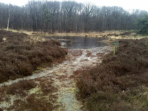 Kiekenberg Mountain, Heerenveen Municipality11 km NE
-
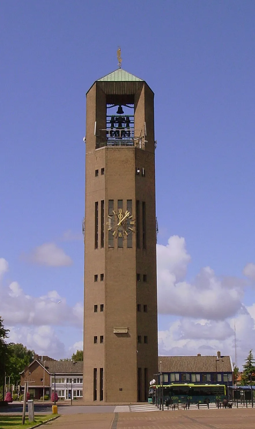 Poldertoren Landmark, Noordoostpolder Municipality25 km SW
-
Havelterberg Mountain, Gemeente Westerveld18 km SE
-
Boschberg Mountain, Ooststellingwerf Municipality25 km E
Sources & licences
Data last updated: · 2 independent sources