Steggerda
Located in Weststellingwerf Municipality, Friesland Coordinates: 52°51′26″ N 6°04′32″ E
- Population
- 810
- 810
- Elevation
- 2 m
- above sea level
- Local time
- UTC+01:00
- Europe/Amsterdam · UTC+01:00
About Steggerda
Steggerda is a village. Location: Weststellingwerf Municipality, Friesland. Population: 810. Elevation: 2 m.
Steggerda (West Frisian: Steggerde) is a village of the Dutch municipality of Weststellingwerf. The village consists of one long stretch with housing and has a population of 1,049. The village was first mentioned in 1408 as Steggerden. The etymology is unknown. Steggerda is a Catholic enclave in a predominantly Protestant region. In 1759, a clandestine church was built on top of a horse barn. In 1839, the first church was built which was replaced in 1921. Steggerda was home to 560 people in 1840.
Read more on Wikipedia Text: Wikipedia contributors · CC BY-SA 4.0 · shortened
In comparison
- No. 4 of 25 places in Weststellingwerf Municipality by population
- Nearest larger town: Oldeholtpade, 4 km NW
Nearby attractions & nature
Everything nearby-
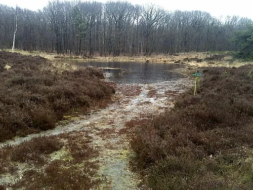 Kiekenberg Mountain, Heerenveen Municipality11 km N
-
Havelterberg Mountain, Gemeente Westerveld12 km SE
-
Boschberg Mountain, Ooststellingwerf Municipality21 km NE
-
Hunnenkloosterberg Mountain, Gemeente De Wolden24 km SE
-
Bendersche Berg Mountain, Gemeente Westerveld23 km E
Sources & licences
Data last updated: · 2 independent sources