Boijl
Located in Weststellingwerf Municipality, Friesland Coordinates: 52°54′33″ N 6°11′59″ E
- Population
- 525
- 525
- Elevation
- 6 m
- above sea level
- Local time
- UTC+01:00
- Europe/Amsterdam · UTC+01:00
About Boijl
Boijl is a village. Location: Weststellingwerf Municipality, Friesland. Population: 525. Elevation: 6 m.
Boijl (West Frisian: Boyl) is a village in Weststellingwerf in the province of Friesland, the Netherlands. It had a population of around 890 in 2017. The village was first mentioned in 1320 as Boilo. The etymology is unclear. The Dutch Reformed church dates from 1641 and has 12th century elements. It does not have a church, but a bell tower from around 1600. Boijl was home to 243 people in 1840.
Read more on Wikipedia Text: Wikipedia contributors · CC BY-SA 4.0 · shortened
In comparison
- No. 7 of 25 places in Weststellingwerf Municipality by population
- Nearest larger town: Oosterstreek, 3 km SW
Nearby attractions & nature
Everything nearby-
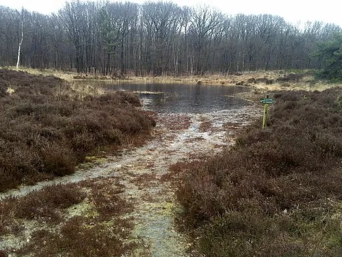 Kiekenberg Mountain, Heerenveen Municipality8.7 km NW
-
Boschberg Mountain, Ooststellingwerf Municipality11 km NE
-
Havelterberg Mountain, Gemeente Westerveld13 km S
-
Bendersche Berg Mountain, Gemeente Westerveld18 km SE
-
Hunnenkloosterberg Mountain, Gemeente De Wolden22 km SE
-
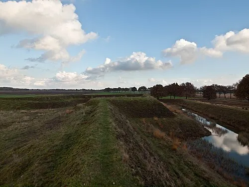 Zwartendijksterschans Historic site, Gemeente Noordenveld22 km NE
Sources & licences
Data last updated: · 2 independent sources