Lutterveld
Located in Buren Municipality, Gelderland Coordinates: 51°53′57″ N 5°21′55″ E
- Elevation
- 4 m
- above sea level
- Local time
- UTC+01:00
- Europe/Amsterdam · UTC+01:00
About Lutterveld
Lutterveld is a village. Location: Buren Municipality, Gelderland. Elevation: 4 m.
Lutterveld is a hamlet in the Dutch province of Gelderland. It is a part of the municipality of Buren, and lies about 4 km west of Tiel. Lutterveld is not a statistical entity, and the postal authorities have placed it under Erichem. It was first mentioned in 1899 as Lutterveld, and means little field to distinguish from Het Grootveld. It consists of about 25 houses.
Read more on Wikipedia Text: Wikipedia contributors · CC BY-SA 4.0 · shortened
In comparison
Nearby attractions & nature
Everything nearby-
Amerongsche Berg Mountain, Gemeente Utrechtse Heuvelrug15 km NE
-
Paasheuvel Mountain, Rhenen Municipality16 km NE
-
Elsterberg Mountain, Rhenen Municipality15 km NE
-
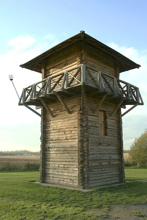 Fectio Historic site, Bunnik Municipality22 km NW
-
 Slot Zeist Historic site, Gemeente Zeist22 km NW
-
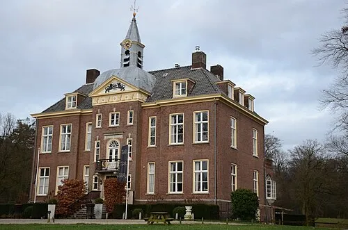 Hoekelum Historic site, Ede Municipality25 km NE
Sources & licences
Data last updated: · 2 independent sources