Fectio
Located in Bunnik Municipality, Utrecht Coordinates: 52°03′22″ N 5°09′56″ E
- Local time
- UTC+01:00
- Europe/Amsterdam · UTC+01:00
- Elevation
- 3 m
- above sea level
About Fectio
Fectio is a historic site. Location: Bunnik Municipality, Utrecht.
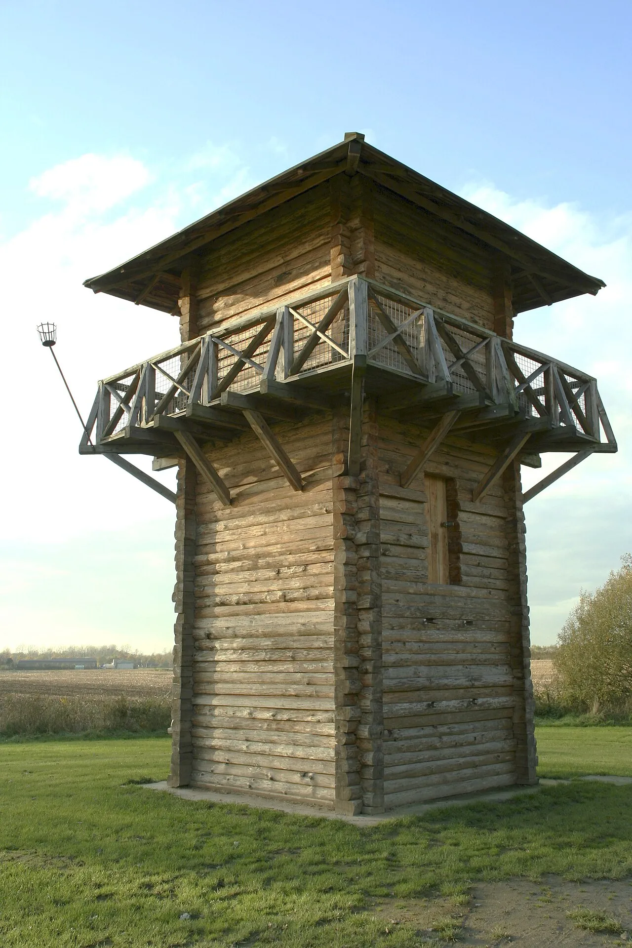
Fectio, known as Vechten in Old Dutch, was a Roman castellum in the province Germania Inferior established in the year 4 or 5 AD. It was located at the place where the river Vecht (Fectio) branched off from the Rhine, leading to Lake Flevo, which was later to become the Zuiderzee. This was near the modern hamlet of Vechten in the municipality Bunnik, Utrecht, Netherlands.
Read more on Wikipedia Text: Wikipedia contributors · CC BY-SA 4.0 · shortened
At a glance
- Heritage designation
- Rijksmonument, part of UNESCO World Heritage Site
Source: Wikidata
In comparison
- 12 sights and natural places within 10 km Vechten Fort, Rijnauwen Fort
Nearby attractions & nature
Everything nearby-
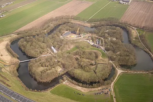 Vechten Fort Historic site, Bunnik Municipality0.3 km NE
-
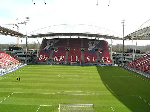 Stadion Galgenwaard Landmark, Gemeente Utrecht2.8 km NW
-
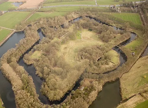 Rijnauwen Fort Historic site, Bunnik Municipality2.2 km N
-
 Museum Catharijneconvent Museum, Gemeente Utrecht4.5 km NW
-
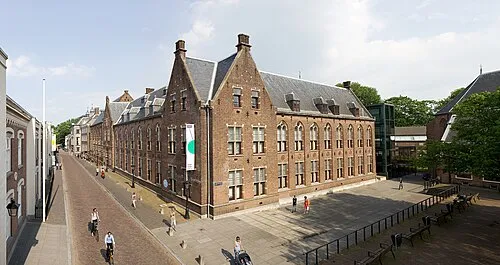 Centraal Museum Museum, Gemeente Utrecht4.1 km NW
-
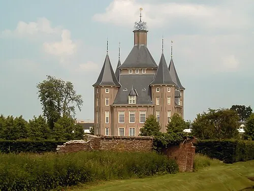 Kasteel Heemstede Historic site, Gemeente Houten3.8 km SW
-
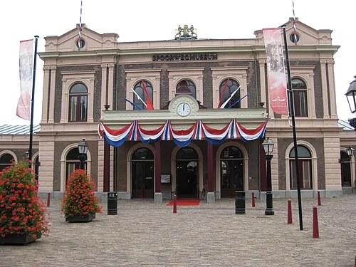 Het Spoorwegmuseum Museum, Gemeente Utrecht4.2 km NW
-
 Jacobikerk Attraction, Gemeente Utrecht5.5 km NW
Nearest towns and villages
Sources & licences
Data last updated: · 2 independent sources