Stadion Galgenwaard
Located in Gemeente Utrecht, Utrecht Coordinates: 52°04′42″ N 5°08′45″ E
- Local time
- UTC+01:00
- Europe/Amsterdam · UTC+01:00
- Elevation
- 4 m
- above sea level
- Airports
- AMS Amsterdam Airport Schiphol37 km
- RTM Rotterdam The Hague Airport50 km
About Stadion Galgenwaard
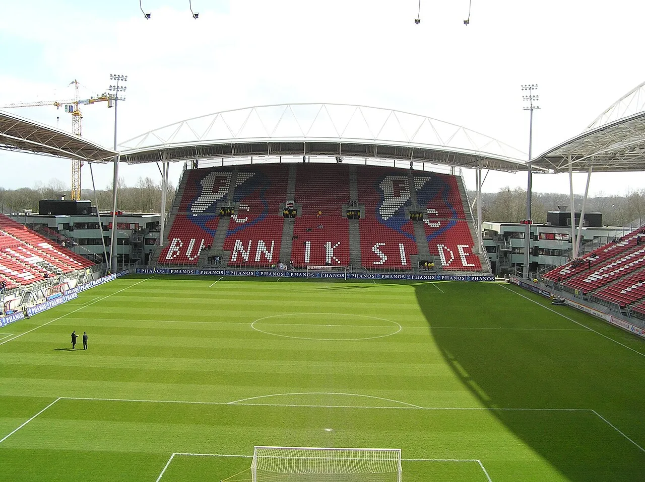
Stadion Galgenwaard is a landmark. Location: Gemeente Utrecht, Utrecht.
Stadion Galgenwaard (Dutch pronunciation: [ˌstaːdijɔŋ ˈɣɑlɣə(ɱ)ʋaːrt]) is a football stadium in Utrecht, Netherlands. It has been the home of the FC Utrecht since 1970. The stadium, which underwent a renovation starting at the beginning of the 21st century, has a capacity of 23,750 spectators. The stadium reopened in 1982 after an extensive facelift. At the time, it was one of the most modern stadiums in the world, primarily due to the moat around the pitch.
Source: Wikipedia · CC BY-SA 4.0
At a glance
- Built
- 1936
- Opened
- 1936
- Architect
- Zwarts & Jansma architects
Source: Wikidata
Photos of Stadion Galgenwaard
-

Rijksmuseum · CC0 -

Hans Peters for Anefo · CC0 -

Bert Verhoeff for Anefo · CC0 -

Hans van Dijk for Anefo · CC0 -

Hugo van Gelderen / Anefo · CC0


Climate of Stadion Galgenwaard
Best months for sightseeingBest months for sightseeing: June–August.
This month · November
A cold month
Day 9° · Night 3° · Rain 82 mm
- Hottest month
- August (day 22°)
- Coldest month
- February (night 0°)
- Wettest month
- November (82 mm)
- Driest month
- April (45 mm)
Bars: average monthly low and high temperature. Below: precipitation. Monthly averages for 1970–2000 at about 18 km resolution, adjusted for elevation. Highlighted months are mild and relatively dry. Source: WorldClim 2.1 (CC BY 4.0).
Show values as a table
| Month | Jan | Feb | Mar | Apr | May | Jun | Jul | Aug | Sep | Oct | Nov | Dec |
|---|---|---|---|---|---|---|---|---|---|---|---|---|
| Average high (°C) | 6° | 6° | 10° | 13° | 18° | 20° | 22° | 22° | 19° | 14° | 9° | 7° |
| Average low (°C) | 0° | 0° | 2° | 4° | 8° | 11° | 13° | 12° | 10° | 7° | 3° | 2° |
| Precipitation (mm) | 67 | 50 | 65 | 45 | 59 | 71 | 72 | 58 | 74 | 77 | 82 | 77 |
How to get to Stadion Galgenwaard
The nearest airport is Amsterdam Airport Schiphol (AMS), 37 km to the northwest as the crow flies. The nearest large city is Utrecht, 2 km to the northwest.
Airports
- Amsterdam Airport Schiphol (AMS) Amsterdam 37 kmnorthwest
- Rotterdam The Hague Airport (RTM) Rotterdam 50 kmwest
- Eindhoven Airport (EIN) Eindhoven 72 kmsouth
Nearby large cities
- Utrecht Population: 376.4K 2 kmnorthwest
- Amersfoort Population: 139.9K 19 kmnortheast
- Almere Stad Population: 176.4K 33 kmnorth
- Amsterdam Population: 741.6K 37 kmnorthwest
- Hoofddorp Population: 132.7K 40 kmnorthwest
Straight-line distances; road distances are longer. Airport data: OurAirports.
Day trips from Stadion Galgenwaard
Within 100 km: 166 historic and cultural sites, 181 natural sites, 111 lakes, rivers and coasts.
0–25 km24 places
- Zwarte Berg Mountain 13 kmN
- Hoorneboeg Mountain 13 kmN
- Galgenberg Mountain 17 kmNE
- De Soesterberg Mountain 12 kmNE
25–60 km152 places
- IJsselmonde Island 49 kmSW
- Eiland van Brienenoord Island 46 kmSW
- Zwarte Berg Mountain 56 kmE
- Zwarte Berg Mountain 50 kmNE
60–100 km282 places
- Putjensberg Mountain 68 kmNE
- Putse Moer Lake 92 kmSW
- Stappensven Lake 89 kmSW
- Zandbergen Natural site 95 kmS
Straight-line distances.
Nearby attractions & nature
Everything nearby-
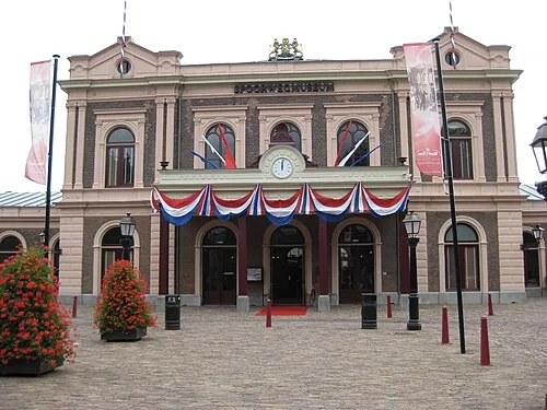 Het Spoorwegmuseum Museum, Gemeente Utrecht1.5 km NW
-
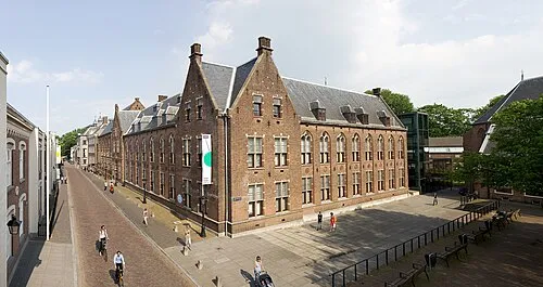 Centraal Museum Museum, Gemeente Utrecht1.5 km NW
-
 Museum Catharijneconvent Museum, Gemeente Utrecht1.8 km NW
-
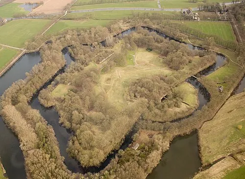 Rijnauwen Fort Historic site, Bunnik Municipality2.2 km E
-
 Jacobikerk Attraction, Gemeente Utrecht2.8 km NW
-
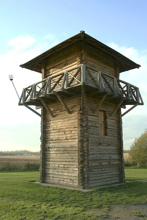 Fectio Historic site, Bunnik Municipality2.8 km SE
-
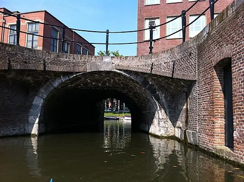 Plompetorenbrug Landmark, Gemeente Utrecht2.6 km NW
-
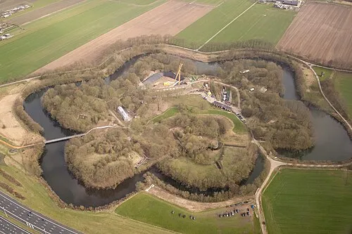 Vechten Fort Historic site, Bunnik Municipality2.7 km SE
Nearest towns and villages
Sources & licences
Data last updated: · 2 independent sources