Jacobikerk
Located in Gemeente Utrecht, Utrecht Coordinates: 52°05′42″ N 5°06′55″ E

- Local time
- UTC+01:00
- Europe/Amsterdam · UTC+01:00
- Elevation
- 10 m
- above sea level
About Jacobikerk
Jacobikerk is a tourist attraction. Location: Gemeente Utrecht, Utrecht.
The Jacobikerk is a landmark Protestant church in Utrecht, Netherlands. The building is located on the St Jacobsstraat, named for its patron saint St. James the Greater. The church is one of the medieval parish churches of Utrecht, along with the Buurkerk, the Nikolaïkerk and the Geertekerk. Today it is known as the starting place for Dutch pilgrims on their way to Santiago de Compostela along the Way of St. James. The Dutch Confraternity of St. James is located around the corner on the St. Jacobskerkhof.
Read more on Wikipedia Text: Wikipedia contributors · CC BY-SA 4.0 · shortened
At a glance
- Built
- 13th century
- Heritage designation
- Rijksmonument
- Height
- 63 m
Source: Wikidata
In comparison
- 12 sights and natural places within 10 km Plompetorenbrug, Museum Catharijneconvent
Nearby attractions & nature
Everything nearby-
 Museum Catharijneconvent Museum, Gemeente Utrecht1.1 km SE
-
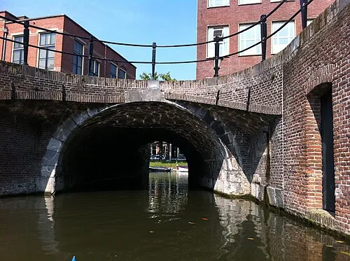 Plompetorenbrug Landmark, Gemeente Utrecht0.6 km E
-
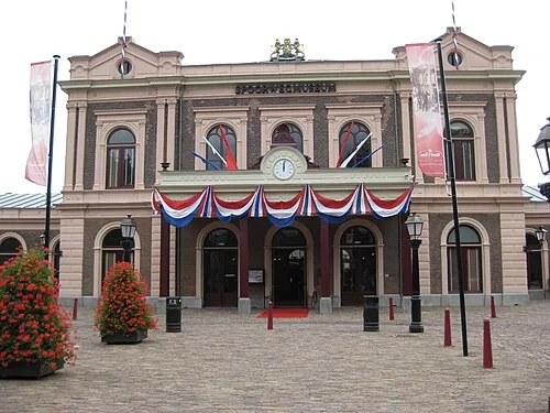 Het Spoorwegmuseum Museum, Gemeente Utrecht1.4 km SE
-
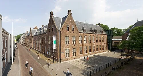 Centraal Museum Museum, Gemeente Utrecht1.5 km SE
-
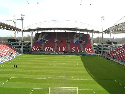 Stadion Galgenwaard Landmark, Gemeente Utrecht2.8 km SE
-
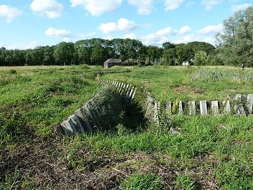 Ruigenhoek Fort Historic site, De Bilt Municipality3.9 km N
-
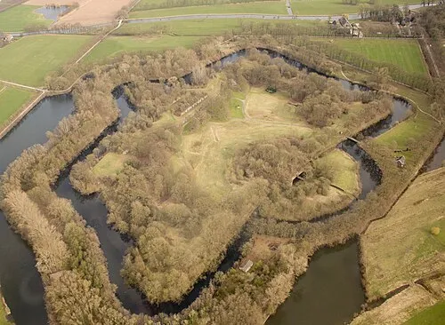 Rijnauwen Fort Historic site, Bunnik Municipality4.8 km SE
-
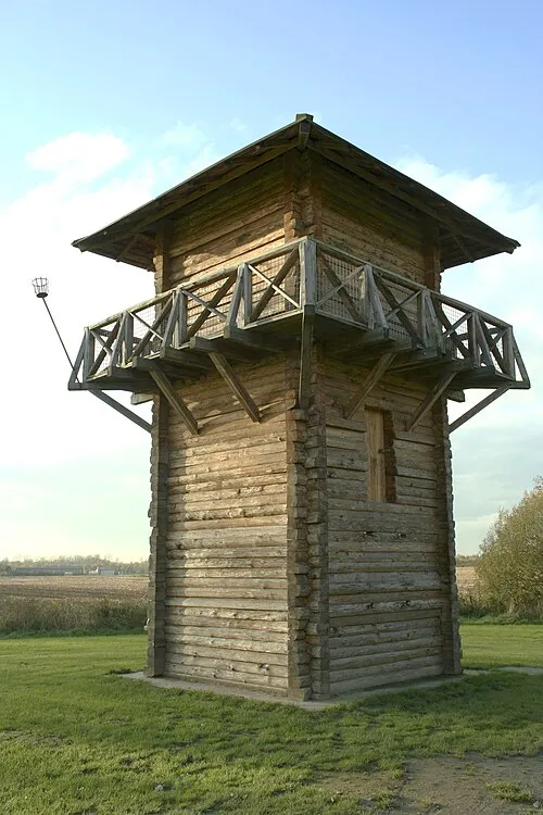 Fectio Historic site, Bunnik Municipality5.5 km SE
Nearest towns and villages
-
Utrecht City, Gemeente Utrecht0.7 km SE
-
Oog in Al Neighbourhood, Gemeente Utrecht2.3 km SW
-
Lunetten Neighbourhood, Gemeente Utrecht3.9 km S
-
Leidsche Rijn Neighbourhood, Gemeente Utrecht4.7 km W
Sources & licences
Data last updated: · 2 independent sources