Laar
Located in Beekdaelen, Limburg Coordinates: 50°54′50″ N 5°54′00″ E
- Elevation
- 77 m
- above sea level
- Local time
- UTC+01:00
- Europe/Amsterdam · UTC+01:00
About Laar
Laar is a village. Location: Beekdaelen, Limburg. Elevation: 77 m.
Laar (Dutch pronunciation: [ˈlaːr]; Limburgish: Laor [ˈlɔːʀ]) is a hamlet in the Dutch province of Limburg. It is located just to the south of the town Beekdaelen. The A76 motorway divides the hamlet in two parts: the largest part, to the west, is part of the municipality of Nuth; the eastern part is in municipality Heerlen. There are no place name signs and it consists of about 10 houses.
Read more on Wikipedia Text: Wikipedia contributors · CC BY-SA 4.0 · shortened
In comparison
- Nearest larger town: Terschuren, 1 km NE
- 4 sights and natural places within 10 km Kasteel Hoensbroek, Kasteel Haeren
Nearby attractions & nature
Everything nearby-
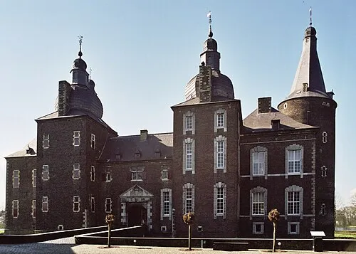 Kasteel Hoensbroek Historic site, Gemeente Heerlen1.3 km E
-
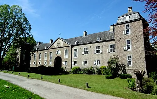 Kasteel Haeren Historic site, Gemeente Voerendaal3.9 km S
-
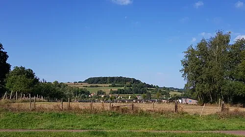 Sousberg Mountain, Valkenburg aan de Geul7.8 km S
-
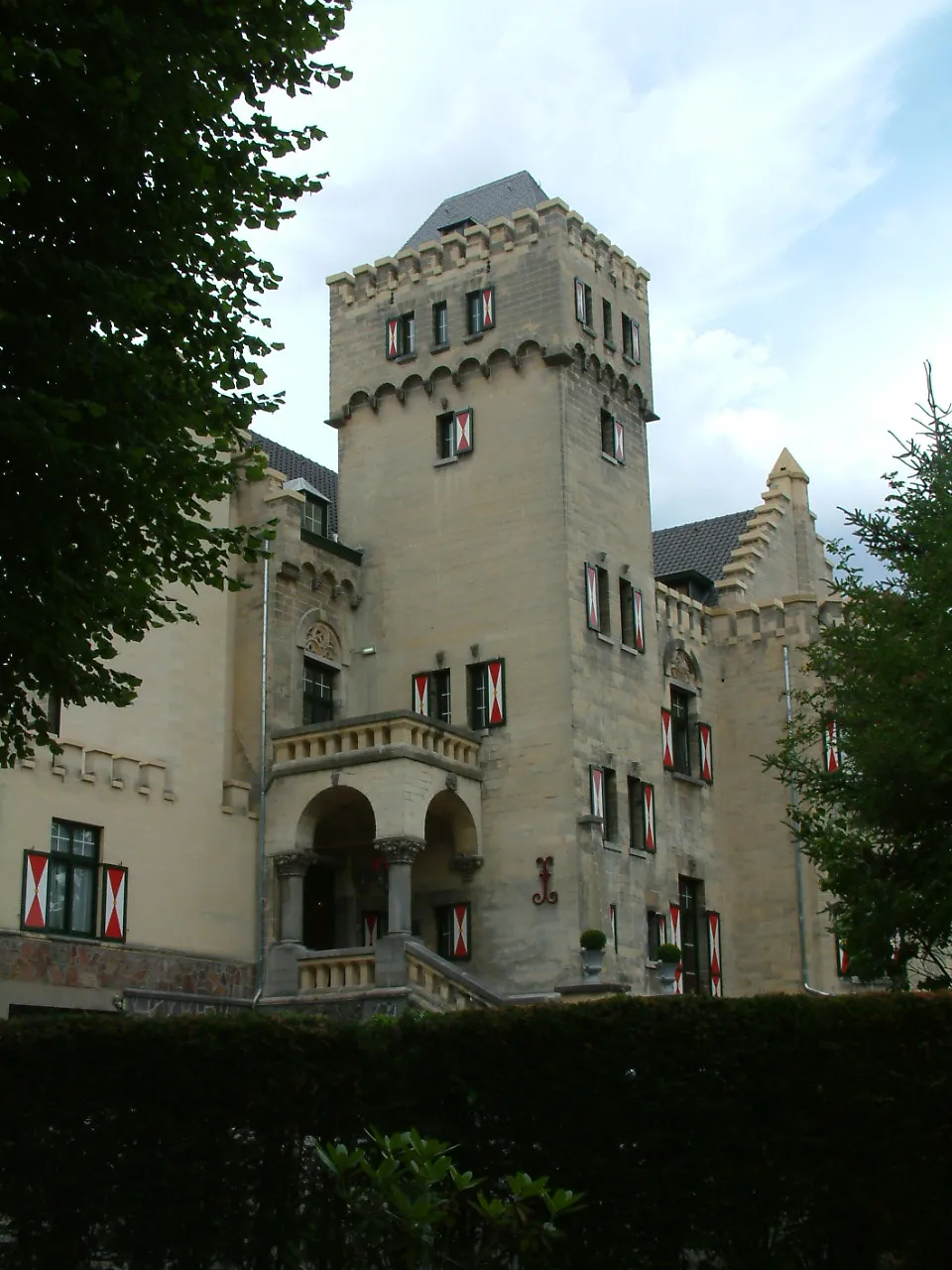 Kasteel Geulzicht Historic site, Valkenburg aan de Geul9.3 km SW
-
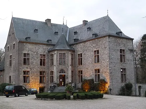 Kasteel Wittem Historic site, Gulpen-Wittem11 km S
-
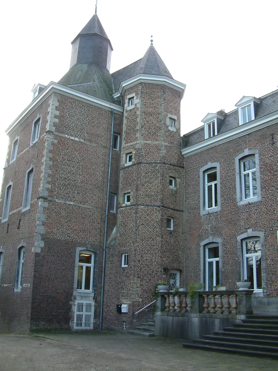 Kasteel Nijswiller Historic site, Gulpen-Wittem13 km S
Sources & licences
Data last updated: · 2 independent sources