Tervoorst
Located in Beekdaelen, Limburg Coordinates: 50°54′54″ N 5°52′00″ E
- Elevation
- 91 m
- above sea level
- Local time
- UTC+01:00
- Europe/Amsterdam · UTC+01:00
About Tervoorst
Tervoorst is a village. Location: Beekdaelen, Limburg. Elevation: 91 m.
Tervoorst (Dutch pronunciation: [tɛrˈvoːrst]; Limburgish: Tervoeësj [tæʀˈvuəʃ]) is a hamlet in the municipality of Beekdaelen in the province of Limburg, the Netherlands. The hamlet contains approximately 105 houses, located in a linear pattern along the Voorsterstraat and the Horenweg, which run from the village of Nuth until the hamlet Brand. The Platsbeek river flows to the north of the settlement.
Read more on Wikipedia Text: Wikipedia contributors · CC BY-SA 4.0 · shortened
In comparison
- Nearest larger town: Nuth, 1 km E
- 4 sights and natural places within 10 km Kasteel Hoensbroek, Kasteel Haeren
Nearby attractions & nature
Everything nearby-
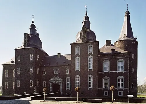 Kasteel Hoensbroek Historic site, Gemeente Heerlen3.6 km E
-
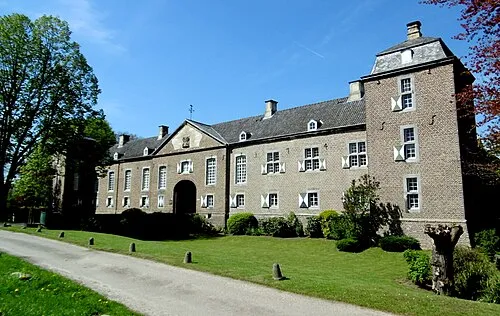 Kasteel Haeren Historic site, Gemeente Voerendaal5.2 km SE
-
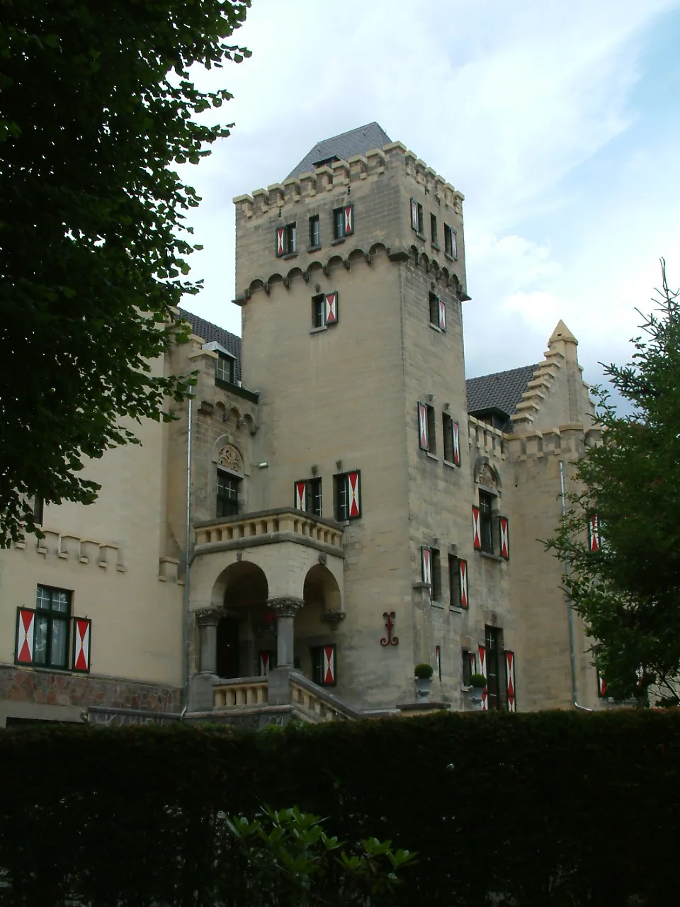 Kasteel Geulzicht Historic site, Valkenburg aan de Geul7.6 km SW
-
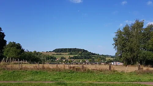 Sousberg Mountain, Valkenburg aan de Geul7.6 km S
-
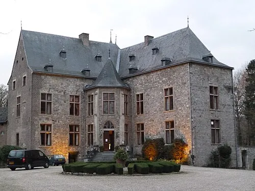 Kasteel Wittem Historic site, Gulpen-Wittem12 km S
-
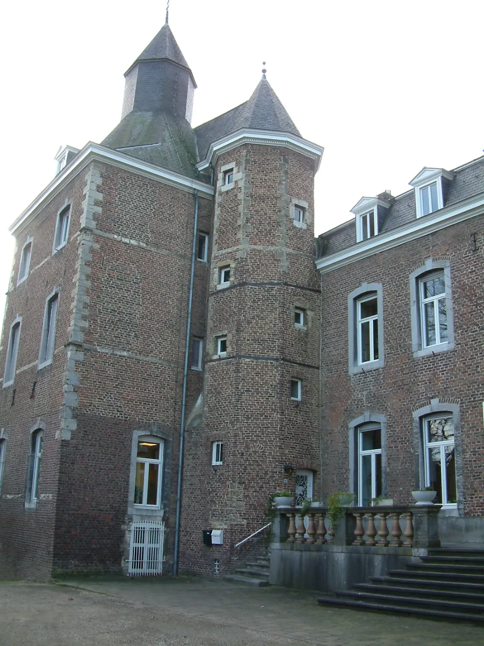 Kasteel Nijswiller Historic site, Gulpen-Wittem14 km SE
Sources & licences
Data last updated: · 2 independent sources