- Population
- 510
- 510
- Elevation
- 137 m
- above sea level
- Local time
- UTC+01:00
- Europe/Amsterdam · UTC+01:00
- Airports
- MST Maastricht Aachen Airport6 km
- LGG Liège Airport39 km
About Arensgenhout
Arensgenhout is a village. Location: Beekdaelen, Limburg. Population: 510. Elevation: 137 m.
Arensgenhout (Dutch: [ˈaːrənsxə(n)ɦʌut], Limburgish: [ˈaːʀənsxə(n)ɦɔwt]) is a hamlet in the Dutch province of Limburg. It is a part of the municipality of Beekdaelen, and lies about 8 km south of Geleen. The hamlet was first mentioned in 1381 as "dat dorpe 't gene Hoit", and means "forest belonging to Arnold (person)". Arensgehnout was home to 287 people in 1840. In 1850, the remains of the Roman villa Steenland were discovered.
Source: Wikipedia · CC BY-SA 4.0
Photos of Arensgenhout
-
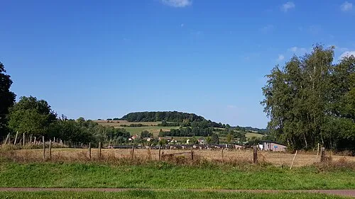
Sousberg Romaine · CC0 -
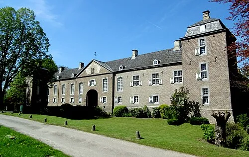
Kasteel Haeren ArthurMcGill · CC BY-SA 4.0 -
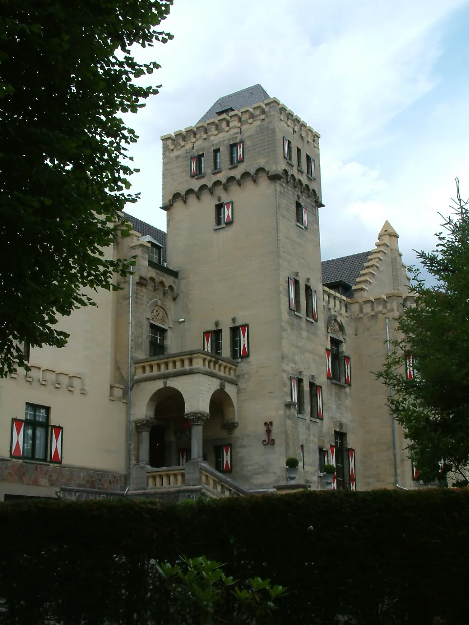
Kasteel Geulzicht Pierre Vossen · CC BY-SA 3.0 -
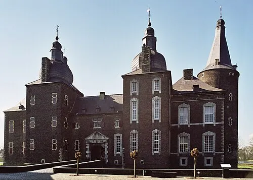
Kasteel Hoensbroek Sir Gawain · CC BY-SA 3.0


Climate of Arensgenhout
Best months for sightseeingBest months for sightseeing: June–August.
This month · November
A cold month
Day 9° · Night 3° · Rain 67 mm
- Hottest month
- August (day 22°)
- Coldest month
- February (night 0°)
- Wettest month
- June (80 mm)
- Driest month
- April (51 mm)
Bars: average monthly low and high temperature. Below: precipitation. Monthly averages for 1970–2000 at about 18 km resolution, adjusted for elevation. Highlighted months are mild and relatively dry. Source: WorldClim 2.1 (CC BY 4.0).
Show values as a table
| Month | Jan | Feb | Mar | Apr | May | Jun | Jul | Aug | Sep | Oct | Nov | Dec |
|---|---|---|---|---|---|---|---|---|---|---|---|---|
| Average high (°C) | 5° | 6° | 9° | 13° | 18° | 20° | 22° | 22° | 19° | 14° | 9° | 6° |
| Average low (°C) | 0° | 0° | 2° | 4° | 8° | 11° | 13° | 13° | 10° | 7° | 3° | 1° |
| Precipitation (mm) | 62 | 54 | 65 | 51 | 66 | 80 | 74 | 62 | 65 | 63 | 67 | 72 |
How to get to Arensgenhout
The nearest airport is Maastricht Aachen Airport (MST), 6 km to the northwest as the crow flies. The nearest large city is Maastricht, 12 km to the southwest.
Airports
- Maastricht Aachen Airport (MST) Maastricht 6 kmnorthwest
- Liège Airport (LGG) Grâce-Hollogne 39 kmsouthwest
- Eindhoven Airport (EIN) Eindhoven 70 kmnorthwest
Nearby large cities
- Maastricht Population: 122.4K 12 kmsouthwest
- Aachen Population: 265.2K 21 kmsoutheast
- Liège Population: 195.3K 34 kmsouthwest
- Mönchengladbach Population: 261.7K 54 kmnortheast
- Venlo Population: 102K 58 kmnortheast
Straight-line distances; road distances are longer. Airport data: OurAirports.
Day trips from Arensgenhout
Within 100 km: 448 historic and cultural sites, 1,717 natural sites, 913 lakes, rivers and coasts.
0–25 km103 places
- Île de Franche Garenne Island 24 kmSW
- Vrouwenbos Natural site 18 kmS
- Veursbos Natural site 17 kmS
- Stokkemderbos Natural site 17 kmNW
25–60 km800 places
- Île du Moulin Island 40 kmSW
- Île Monsin Island 29 kmSW
- Lac de la Gileppe Lake 35 kmS
- Lac d'Eupen Lake 35 kmSE
60–100 km2,175 places
- Hofstademeer Lake 94 kmW
- Lac de Nisramont Lake 84 kmS
- Vijvers van Bellefroid Lake 80 kmW
- Wijngaardberg Mountain 76 kmW
Straight-line distances.
Nearby attractions & nature
Everything nearby-
Kasteel Geulzicht Historic site, Valkenburg aan de Geul4.2 km SW
-
Sousberg Mountain, Valkenburg aan de Geul5.1 km SE
-
Kasteel Haeren Historic site, Gemeente Voerendaal5.4 km E
-
Kasteel Hoensbroek Historic site, Gemeente Heerlen6.3 km NE
-
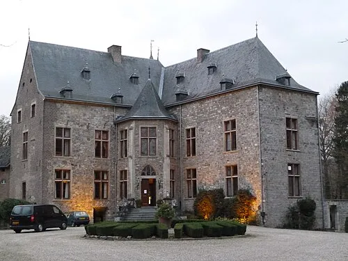 Kasteel Wittem Historic site, Gulpen-Wittem9.6 km SE
-
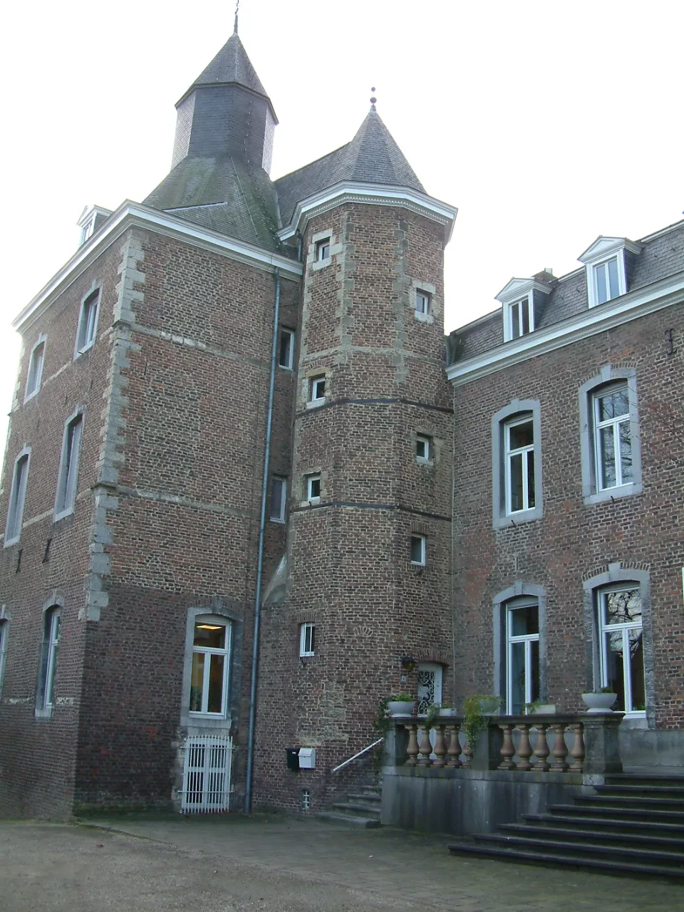 Kasteel Nijswiller Historic site, Gulpen-Wittem12 km SE
Sources & licences
Data last updated: · 2 independent sources