Imstenrade
Located in Gemeente Heerlen, Limburg Coordinates: 50°51′12″ N 5°59′10″ E
- Population
- 310
- 310
- Elevation
- 183 m
- above sea level
- Local time
- UTC+01:00
- Europe/Amsterdam · UTC+01:00
About Imstenrade
Imstenrade is a village. Location: Gemeente Heerlen, Limburg. Population: 310. Elevation: 183 m.
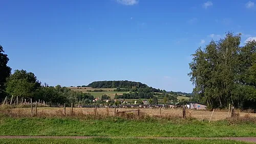
Imstenrade (Limburgish: Imsterao) is a hamlet in the southeastern Netherlands. It is part of the municipality of Heerlen in the province of Limburg, about 20 km east of Maastricht. The village lies between Benzenrade and Simpelveld, next to the A76 motorway and the N281 provincial road. In 2014 the village had a population of 336 and was home to an immigration detention centre with space for 700 immigrants.
Read more on Wikipedia Text: Wikipedia contributors · CC BY-SA 4.0 · shortened
In comparison
- No. 13 of 16 places in Gemeente Heerlen by population
- Nearest larger town: Huls, 1 km SW
- 9 sights and natural places within 10 km Kasteel Nijswiller, Kasteel Haeren
Nearby attractions & nature
Everything nearby-
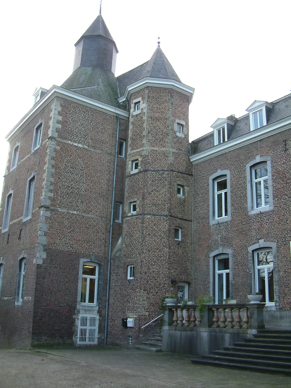 Kasteel Nijswiller Historic site, Gulpen-Wittem5.5 km S
-
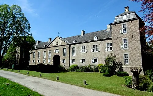 Kasteel Haeren Historic site, Gemeente Voerendaal5.8 km NW
-
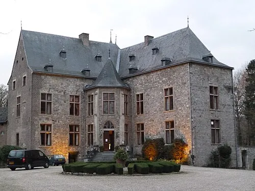 Kasteel Wittem Historic site, Gulpen-Wittem6.9 km SW
-
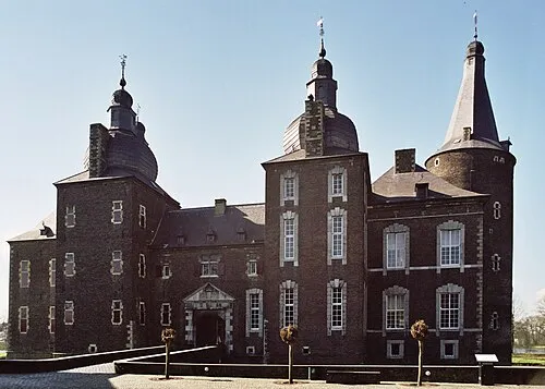 Kasteel Hoensbroek Historic site, Gemeente Heerlen8.5 km NW
-
Vetschauer Berg Mountain, Aachen6.3 km SE
-
 Sousberg Mountain, Valkenburg aan de Geul8.2 km W
Sources & licences
Data last updated: · 2 independent sources