Gemeente Heerlen
Located in Limburg, The Netherlands Coordinates: 50°53′16″ N 5°58′27″ E
- Population
- 86,762
- 86.8K
- Elevation
- 111 m
- above sea level
- Local time
- UTC+01:00
- Europe/Amsterdam · UTC+01:00
- Places inside
- 22
- listed under Gemeente Heerlen
About Gemeente Heerlen
Gemeente Heerlen is a district. Location: Limburg, The Netherlands. Population: 86,762.
In comparison
- 7 sights and natural places within 10 km Kasteel Haeren, Kasteel Hoensbroek
- Listed here: Village: 10, Neighbourhood: 9, Town: 2, Historic site: 1
Places in Gemeente Heerlen
22 places-
Heerlen Town93.1K
-
Hoensbroek Town25K
-
Nieuw-Lotbroek Neighbourhood4.7K
-
Mariarade Neighbourhood3.8K
-
Meezenbroek Neighbourhood2.9K
-
Heksenberg Village2.4K
-
Passart Neighbourhood2K
-
Beersdal Neighbourhood1.6K
-
Vrieheide Neighbourhood1.5K
-
Husken Village1.4K
-
Palemig Neighbourhood690
-
Terschuren Neighbourhood470
-
Imstenrade Village310
-
Benzenrade Village200
-
Ten Esschen Village155
-
Beitel Village70
-
Hondsrug Village
-
Kasteel Hoensbroek Historic site
-
Molenberg Neighbourhood
-
Schurenberg Village
-
Vrank Village
-
Welten Village
Nearby attractions & nature
Everything nearby-
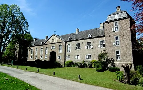 Kasteel Haeren Historic site, Gemeente Voerendaal4.2 km W
-
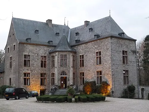 Kasteel Wittem Historic site, Gulpen-Wittem9.4 km SW
-
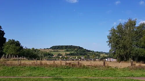 Sousberg Mountain, Valkenburg aan de Geul8.7 km SW
-
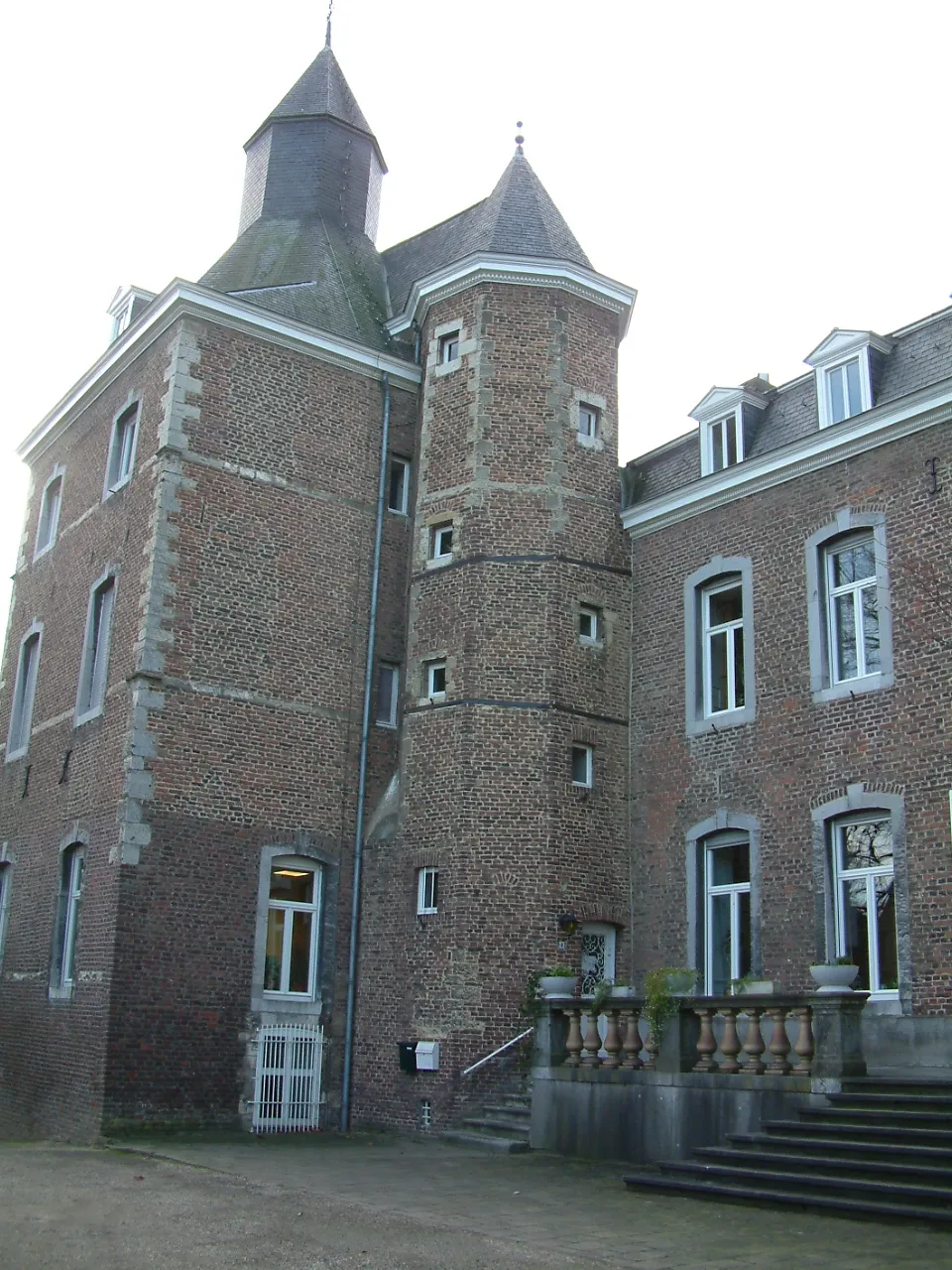 Kasteel Nijswiller Historic site, Gulpen-Wittem9.1 km S
-
Vetschauer Berg Mountain, Aachen10 km SE
-
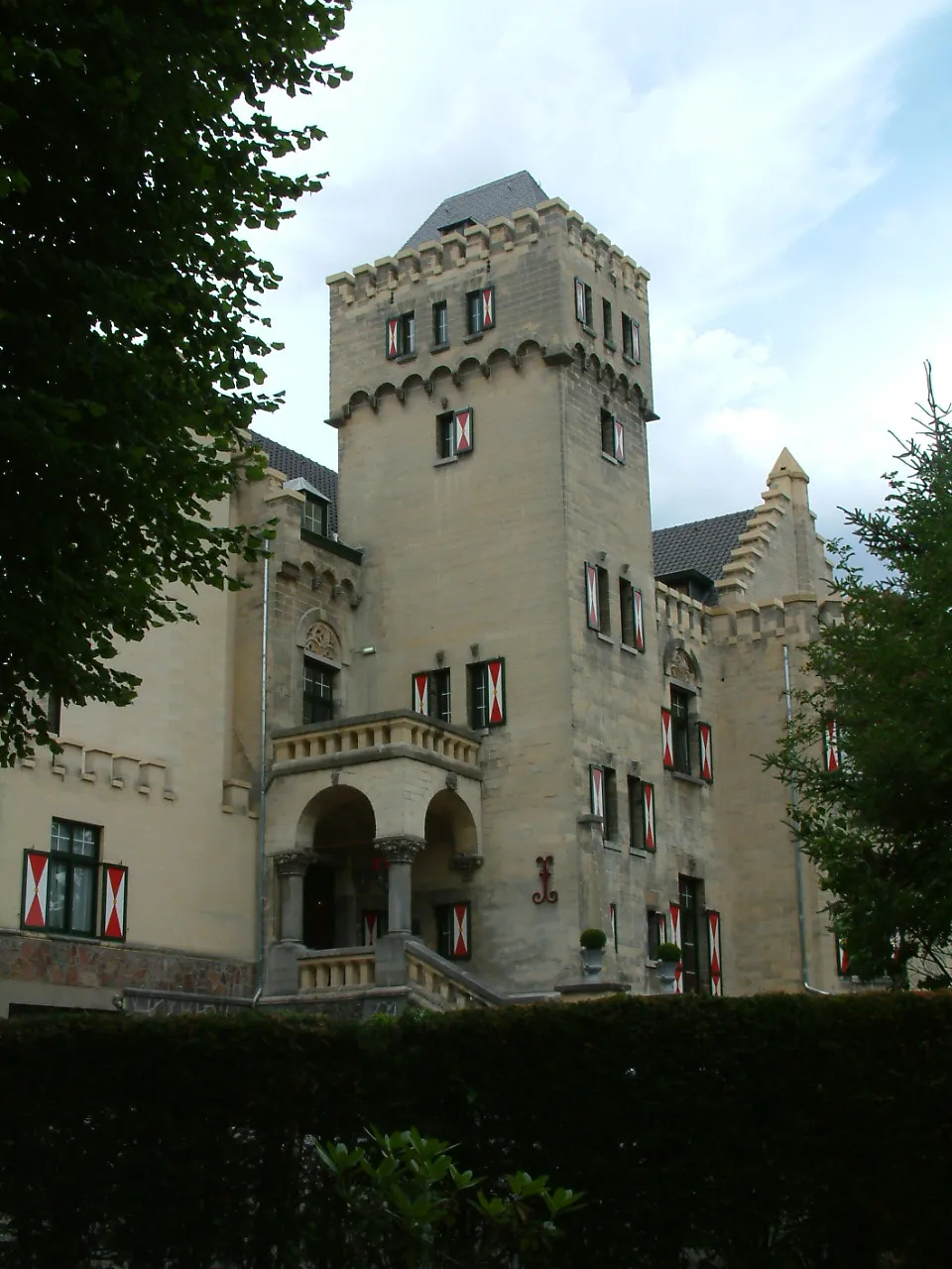 Kasteel Geulzicht Historic site, Valkenburg aan de Geul13 km W
Sources & licences
Data last updated: