Kerkrade Municipality
Located in Limburg, The Netherlands Coordinates: 50°52′24″ N 6°02′56″ E
- Population
- 45,442
- 45.4K
- Elevation
- 120 m
- above sea level
- Local time
- UTC+01:00
- Europe/Amsterdam · UTC+01:00
- Places inside
- 12
- listed under Kerkrade Municipality
About Kerkrade Municipality
Kerkrade Municipality is a district. Location: Limburg, The Netherlands. Population: 45,442.
In comparison
- 4 sights and natural places within 10 km Vetschauer Berg, Kasteel Haeren
- Listed here: Village: 8, Neighbourhood: 3, Town: 1
Places in Kerkrade Municipality
12 places-
Kerkrade Town49.8K
-
Bleijerheide Neighbourhood4.3K
-
Terwinselen Village3.8K
-
Spekholzerheide Village3.2K
-
Chevremont Village3.2K
-
Kaalheide Village2.8K
-
Holz Neighbourhood2.4K
-
Hopel Village2.2K
-
Gracht Village2.1K
-
Haanrade Village2K
-
Ham Neighbourhood
-
Locht Village
Nearby attractions & nature
Everything nearby-
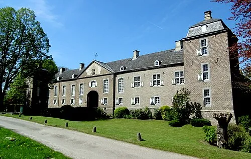 Kasteel Haeren Historic site, Gemeente Voerendaal9.4 km W
-
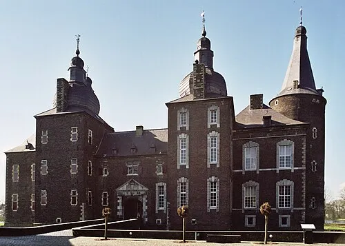 Kasteel Hoensbroek Historic site, Gemeente Heerlen10 km NW
-
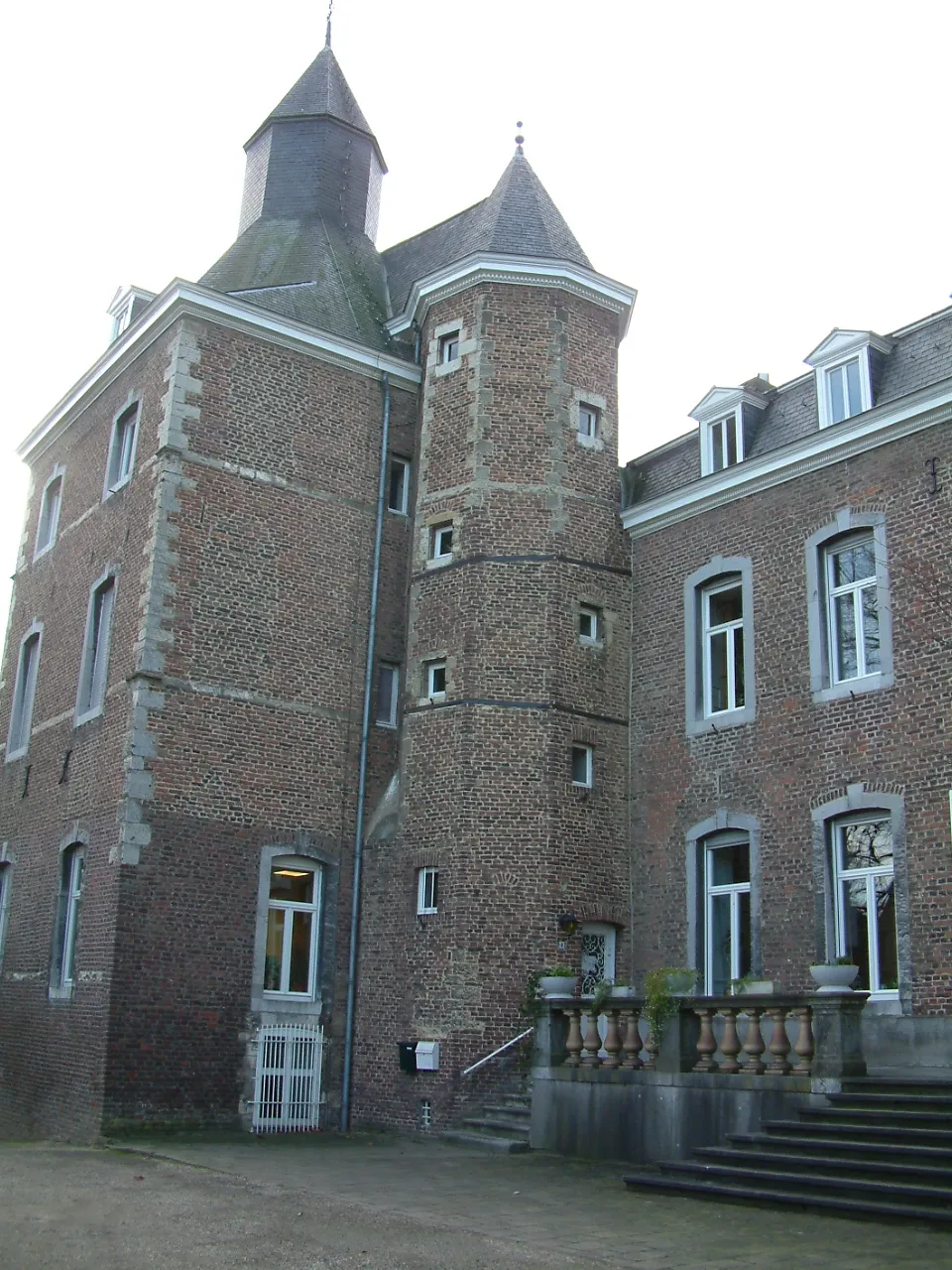 Kasteel Nijswiller Historic site, Gulpen-Wittem9.7 km SW
-
Vetschauer Berg Mountain, Aachen7.7 km S
-
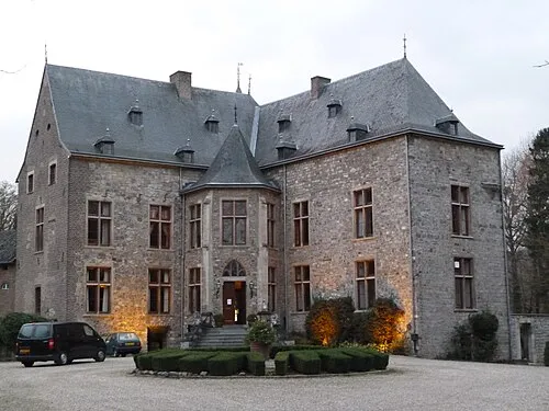 Kasteel Wittem Historic site, Gulpen-Wittem12 km SW
-
Königshügel Mountain, Aachen11 km S
Sources & licences
Data last updated: