Benzenrade
Located in Gemeente Heerlen, Limburg Coordinates: 50°51′58″ N 5°58′33″ E
- Population
- 200
- 200
- Elevation
- 120 m
- above sea level
- Local time
- UTC+01:00
- Europe/Amsterdam · UTC+01:00
About Benzenrade
Benzenrade is a village. Location: Gemeente Heerlen, Limburg. Population: 200. Elevation: 120 m.
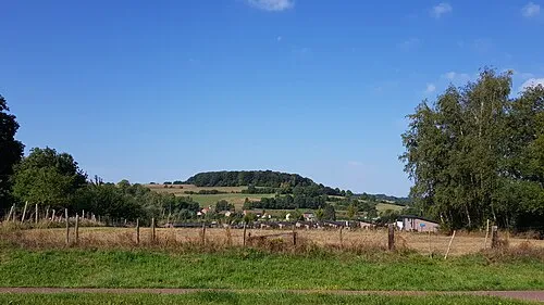
Benzenrade is a Dutch hamlet located in the commune of Heerlen, in the province of Dutch Limburg. Located on the border of the municipality and the city, it is between Ubachsberg (municipality of Voerendaal) and Imstenrade. On its north side, it abuts the neighbourhood of Welten. On the east, separated by the N281, is the neighbourhood of Heerlerbaan.
Read more on Wikipedia Text: Wikipedia contributors · CC BY-SA 4.0 · shortened
At a glance
- Area
- 79 ha
Source: Wikidata
In comparison
- No. 14 of 16 places in Gemeente Heerlen by population
- Nearest larger town: Imstenrade, 2 km SE
- 9 sights and natural places within 10 km Kasteel Haeren, Kasteel Nijswiller
Nearby attractions & nature
Everything nearby-
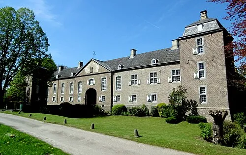 Kasteel Haeren Historic site, Gemeente Voerendaal4.6 km W
-
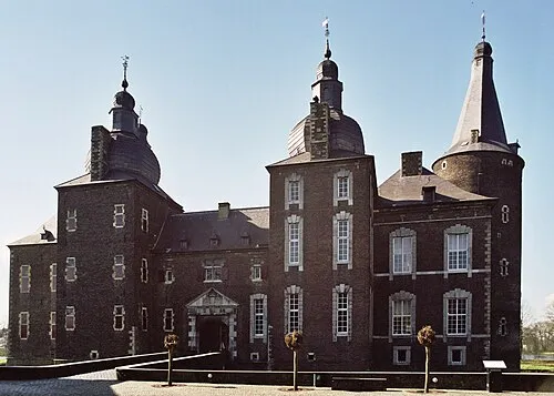 Kasteel Hoensbroek Historic site, Gemeente Heerlen7 km NW
-
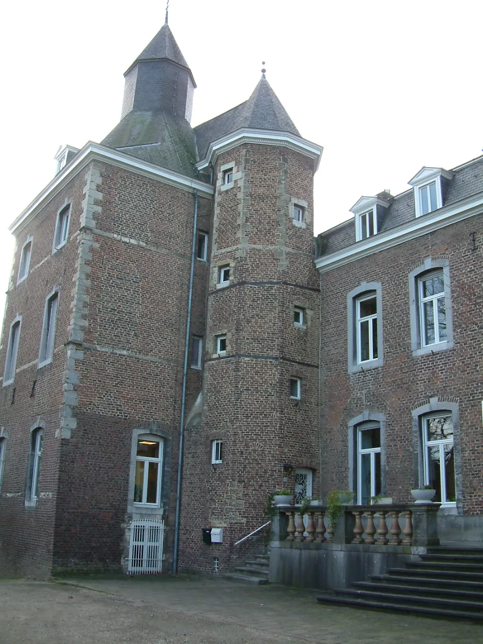 Kasteel Nijswiller Historic site, Gulpen-Wittem6.7 km S
-
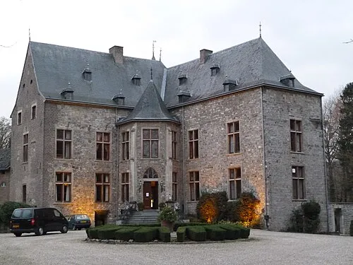 Kasteel Wittem Historic site, Gulpen-Wittem7.4 km SW
-
 Sousberg Mountain, Valkenburg aan de Geul7.8 km W
-
Vetschauer Berg Mountain, Aachen7.9 km SE
Sources & licences
Data last updated: · 2 independent sources