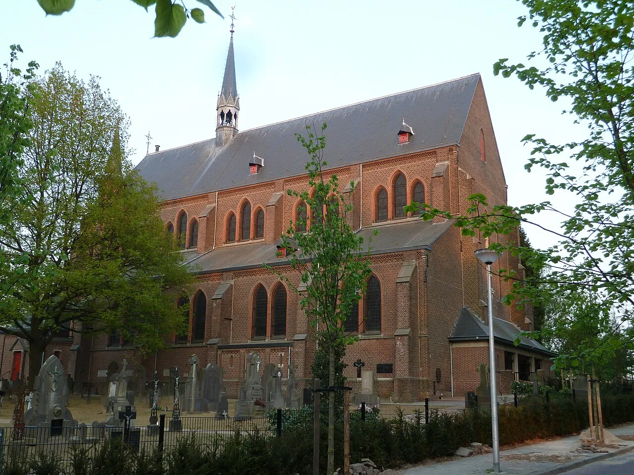
- Population
- 25,000
- 25K
- Elevation
- 85 m
- above sea level
- Local time
- UTC+01:00
- Europe/Amsterdam · UTC+01:00
- Airports
- MST Maastricht Aachen Airport11 km
- LGG Liège Airport46 km
About Hoensbroek
Hoensbroek is a town. Location: Gemeente Heerlen, Limburg. Population: 25,000. Elevation: 85 m.
Hoensbroek (Limburgish: Gebrook) is a Dutch town in the municipality of Heerlen. It is situated in the southeast of Limburg, a province in the southeast of the Netherlands. Until 1982, Hoensbroek was a separate municipality. Hoensbroek is known for its medieval castle, Kasteel Hoensbroek, named after Knight Hoen, a member of the Hoen Family. It dates from around 1250. Hoensbroek is also known for the fair on Ascension Day (Hemelvaartsdag). The fair brings as many as 100,000 people to the town, every year.
Source: Wikipedia · CC BY-SA 4.0
Photos of Hoensbroek
-

Joseph de Ferraris · Public domain -

tekenaar: R. Vandervelde, Rijksdienst voor het Cultureel Erfgoed, Amersfoort / Documentnummer MIN11041VK1 · Public domain -

Tibor · CC BY-SA 4.0 -

Choinowski · CC BY-SA 4.0 -

Fotograaf onbekend, gemaakt in opdracht van DSM Voorlichtingsdienst · CC BY-SA 4.0


Travel notes for Hoensbroek
From Wikivoyage
Hoensbroek is a town in South Limburg, the southernmost region of the Dutch province of Limburg. It's part of the municipality of Heerlen but has a long, separate history and was an independent municipality until 1982. Hoensbroek's castle is one of the most well-known castles in the country. Since there isn't much more to see or do for the average traveler, Hoensbroek castle is best visited as a day trip from one of the many destinations in the area. However, if you do find yourself staying the night here, there are a few options to eat, drink and sleep.
Understand+
With over 20.000 inhabitants, Hoensbroek is a major part of Heerlen. Rather than being a district of that city, it's a town on itself and its people will tell you they live in Hoensbroek, not in Heerlen. Nevertheless, for outsiders it's somewhat hard to distinguish, as the two have grown together as one large built-up area.
Tourist information, Hoofdstraat 26, ☏ +31 900-555 9798. The Dutch tourist information office VVV has an information point in Peeters Tabak store. There's no VVV personal present, but you will find leaflets, maps and other basic information. Calling will connect you to the general VVV service for South Limburg.
Get in+
Hoensbroek is well-connected by road, with the A76/E314 passing directly by. If you're getting in by car, follow the A76/314 and take exit 5 to Nuth/Hoensbroek. The Emmastraat connects the town directly to nearby Brunssum. There's a train station which is served by regional trains in the directions of Sittard and Heerlen. At least 8 different bus lines connect different parts of Hoensbroek to other destinations in the region.
The main ones include:
Line 51 to Maastricht, Valkenburg and Brunssum
Line 42 to Geleen and Schinnen
Line 21 to Gulpen, Heerlen and Brunssum
1 Hoensbroek railway station (Station Hoensbroek). (updated Nov 2021)
Source: Wikivoyage · CC BY-SA 4.0 · abridged
Population of Hoensbroek over time
| 1859 | 1,223 | |
|---|---|---|
| 1869 | 1,198 | |
| 1879 | 1,257 | |
| 1889 | 1,203 | |
| 1899 | 1,338 | |
| 1909 | 1,565 | |
| 1920 | 7,761 | |
| 1930 | 13,618 | |
| 1947 | 15,744 | |
| 1960 | 21,730 | |
| 1971 | 22,740 | |
| 1980 | 22,685 |
Censuses and official estimates; source: Wikidata.
Climate of Hoensbroek
Best months for sightseeingBest months for sightseeing: June–August.
This month · November
A cold month
Day 9° · Night 3° · Rain 67 mm
- Hottest month
- August (day 23°)
- Coldest month
- February (night 0°)
- Wettest month
- June (80 mm)
- Driest month
- April (51 mm)
Bars: average monthly low and high temperature. Below: precipitation. Monthly averages for 1970–2000 at about 18 km resolution, adjusted for elevation. Highlighted months are mild and relatively dry. Source: WorldClim 2.1 (CC BY 4.0).
Show values as a table
| Month | Jan | Feb | Mar | Apr | May | Jun | Jul | Aug | Sep | Oct | Nov | Dec |
|---|---|---|---|---|---|---|---|---|---|---|---|---|
| Average high (°C) | 5° | 6° | 10° | 13° | 18° | 21° | 23° | 23° | 19° | 14° | 9° | 6° |
| Average low (°C) | 0° | 0° | 2° | 4° | 8° | 11° | 13° | 13° | 10° | 7° | 3° | 2° |
| Precipitation (mm) | 62 | 54 | 65 | 51 | 66 | 80 | 74 | 62 | 65 | 63 | 67 | 72 |
How to get to Hoensbroek
The nearest airport is Maastricht Aachen Airport (MST), 11 km to the west as the crow flies. The nearest large city is Maastricht, 19 km to the southwest.
Airports
- Maastricht Aachen Airport (MST) Maastricht 11 kmwest
- Liège Airport (LGG) Grâce-Hollogne 46 kmsouthwest
- Eindhoven Airport (EIN) Eindhoven 70 kmnorthwest
Nearby large cities
- Maastricht Population: 122.4K 19 kmsouthwest
- Aachen Population: 265.2K 20 kmsoutheast
- Liège Population: 195.3K 41 kmsouthwest
- Mönchengladbach Population: 261.7K 46 kmnortheast
- Venlo Population: 102K 52 kmnorth
Straight-line distances; road distances are longer. Airport data: OurAirports.
Day trips from Hoensbroek
Within 100 km: 456 historic and cultural sites, 1,745 natural sites, 895 lakes, rivers and coasts.
0–25 km86 places
- Vrouwenbos Natural site 23 kmS
- Veursbos Natural site 22 kmS
- Stokkemderbos Natural site 19 kmNW
- Schimperbos Natural site 20 kmS
25–60 km753 places
- Île du Moulin Island 46 kmSW
- Île Monsin Island 36 kmSW
- Île de Franche Garenne Island 30 kmSW
- Lac de la Gileppe Lake 38 kmS
60–100 km2,257 places
- Hofstademeer Lake 100 kmW
- Lac de Nisramont Lake 89 kmS
- Vijvers van Bellefroid Lake 86 kmW
- Wijngaardberg Mountain 81 kmW
Straight-line distances.
Nearby attractions & nature
Everything nearby-
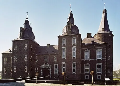 Kasteel Hoensbroek Historic site, Gemeente Heerlen0.9 km SW
-
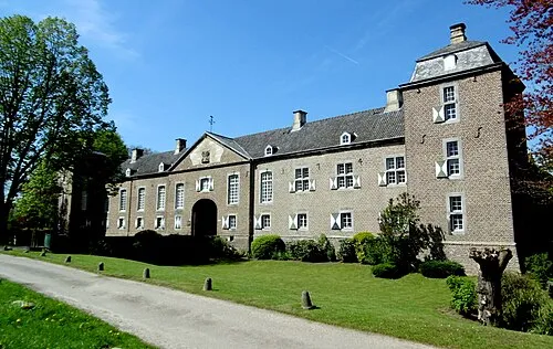 Kasteel Haeren Historic site, Gemeente Voerendaal4.9 km S
-
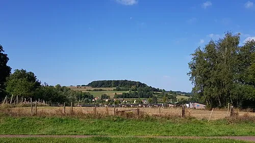 Sousberg Mountain, Valkenburg aan de Geul9.4 km SW
-
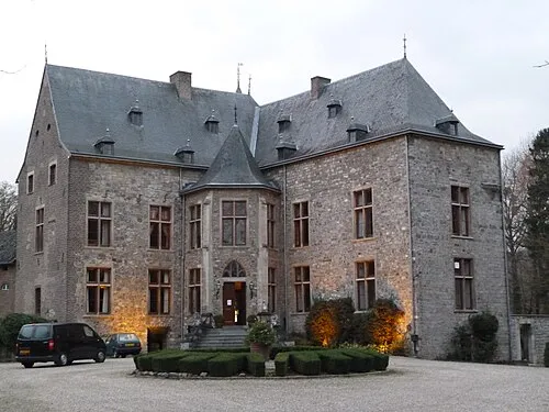 Kasteel Wittem Historic site, Gulpen-Wittem12 km S
-
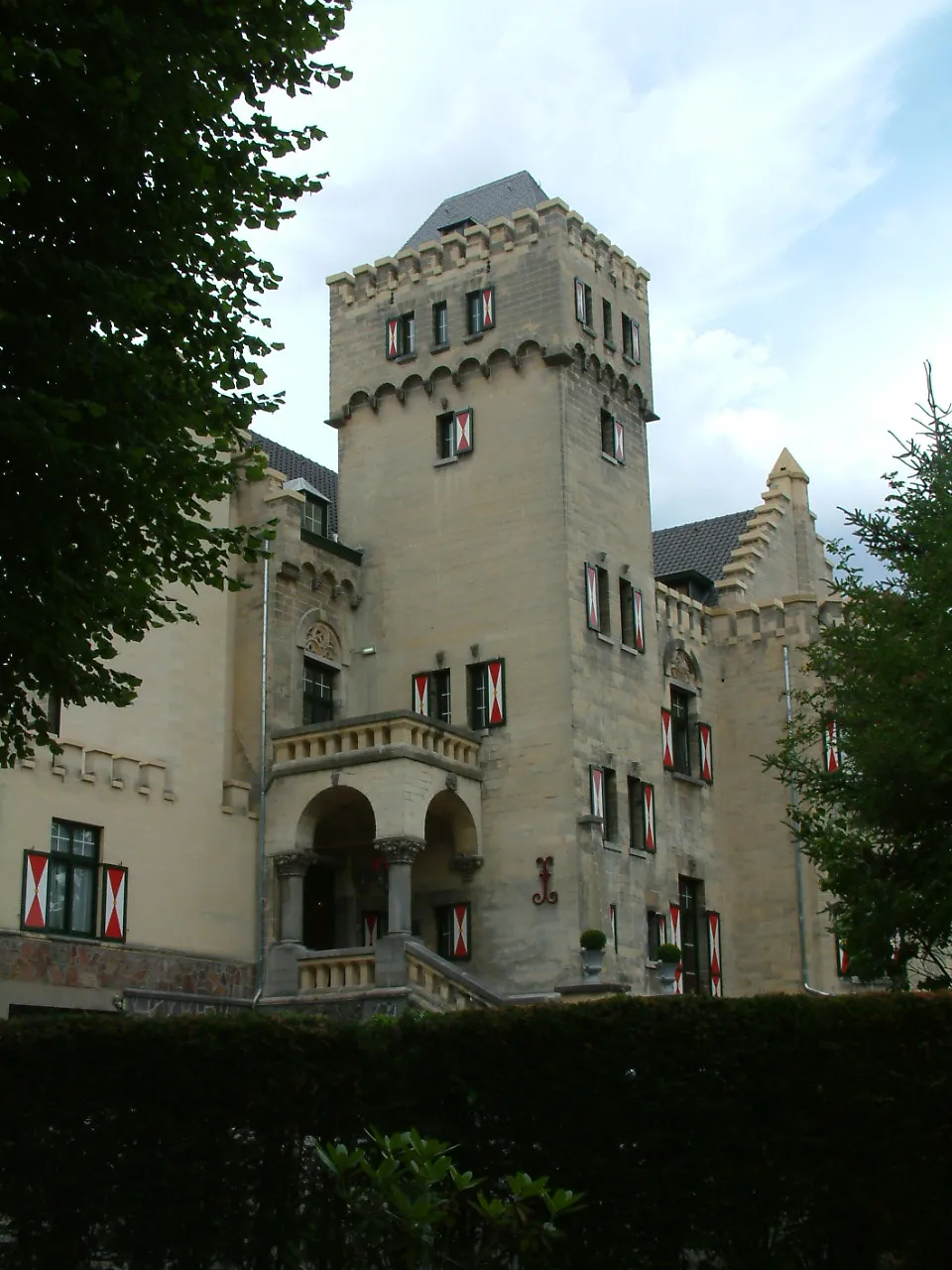 Kasteel Geulzicht Historic site, Valkenburg aan de Geul11 km SW
-
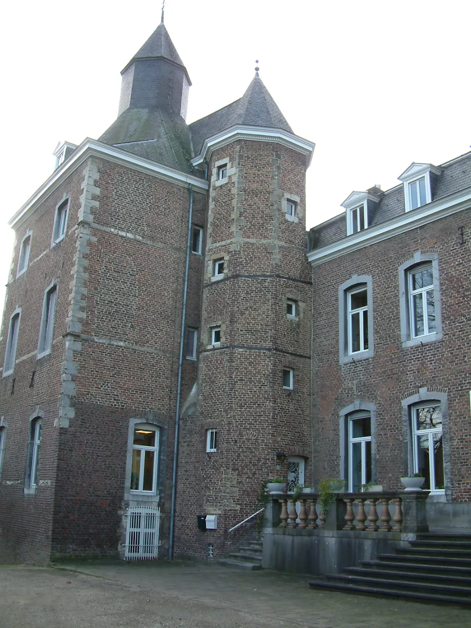 Kasteel Nijswiller Historic site, Gulpen-Wittem13 km S
-
Allee Busch Natural site, North Rhine-Westphalia9 km NE
-
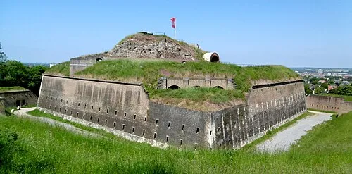 Saint Peter Fort Historic site, Maastricht Municipality20 km SW
Sources & licences
Data last updated: · 2 independent sources