Andel
Located in Altena, North Brabant Coordinates: 51°47′00″ N 5°03′30″ E
- Population
- 2,535
- 2.5K
- Elevation
- 3 m
- above sea level
- Local time
- UTC+01:00
- Europe/Amsterdam · UTC+01:00
About Andel
Andel is a village. Location: Altena, North Brabant. Population: 2,535. Elevation: 3 m.
Andel is a village in the municipality of Altena, North Brabant, in the Netherlands. It is located about 7 km southeast of Gorinchem. On the southern bank of the Afgedamde Maas, its history is strongly connected with various rivers.
Read more on Wikipedia Text: Wikipedia contributors · CC BY-SA 4.0 · shortened
In comparison
- No. 9 of 22 places in Altena by population
- Nearest larger town: Veen, 4 km E
- 2 sights and natural places within 10 km Kasteel Nederhemert, Kasteel Dussen
Nearby attractions & nature
Everything nearby-
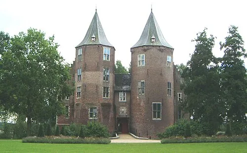 Kasteel Dussen Historic site, Altena8.2 km SW
-
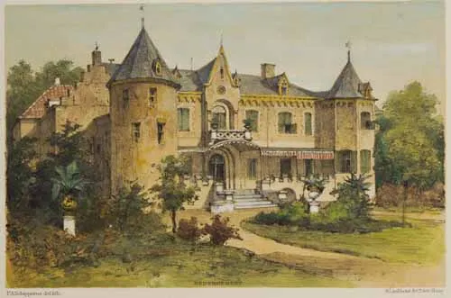 Kasteel Nederhemert Historic site, Gemeente Zaltbommel7.4 km SE
-
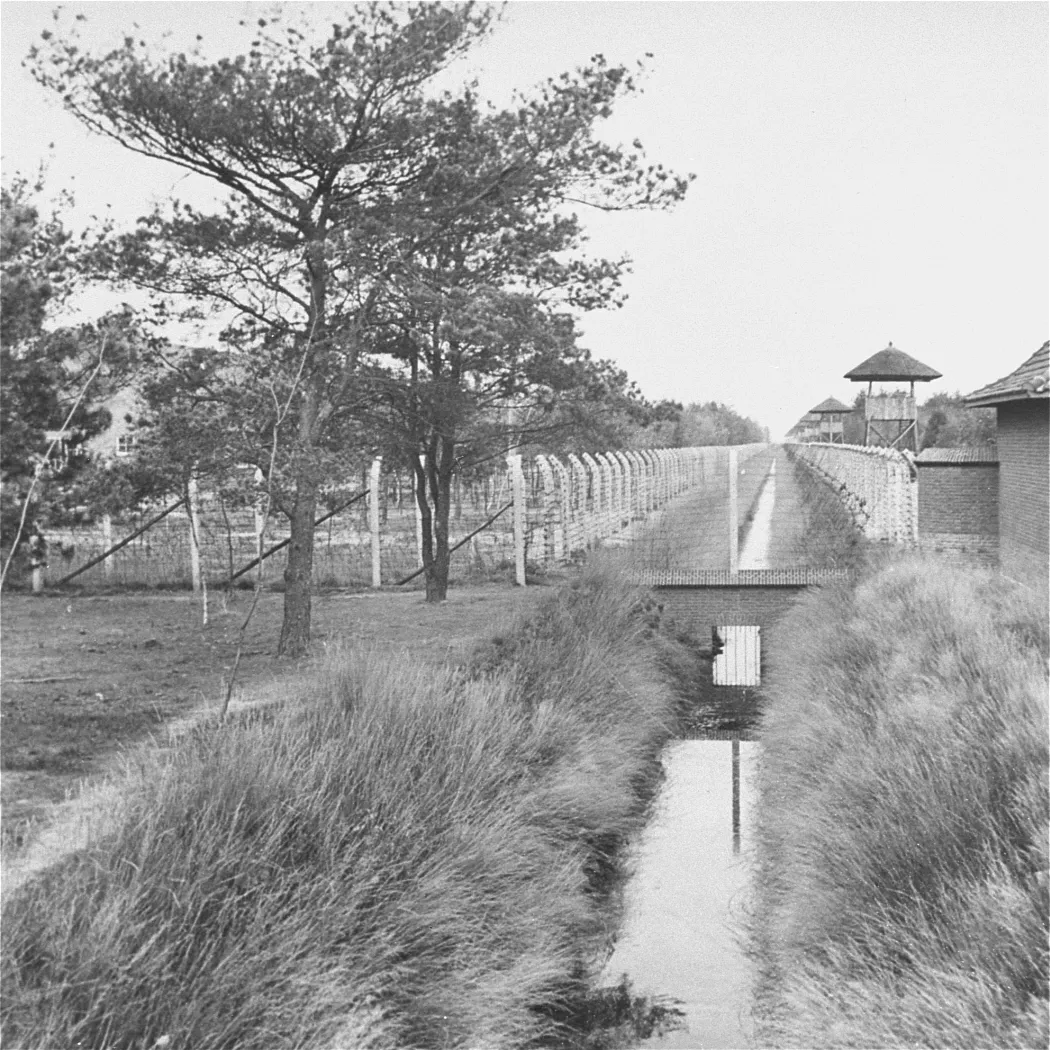 Herzogenbusch Concentration Camp Historic site, Gemeente Vught19 km SE
-
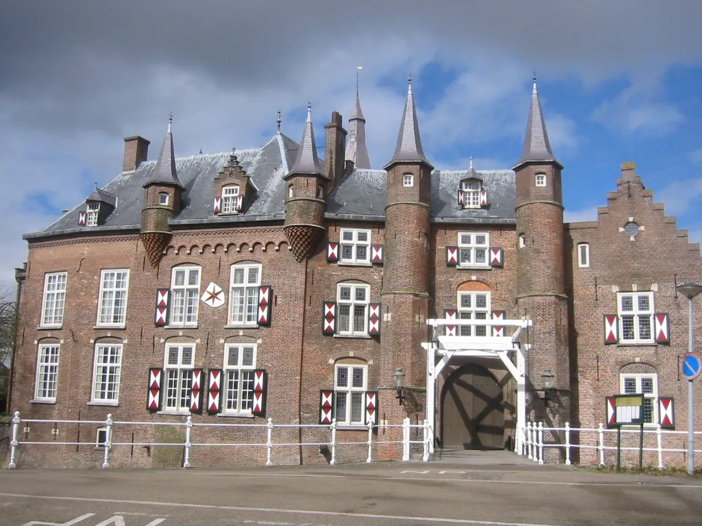 Kasteel Maurick Historic site, Gemeente Vught22 km SE
-
Patersberg Mountain, Sint-Michielsgestel Municipality22 km SE
-
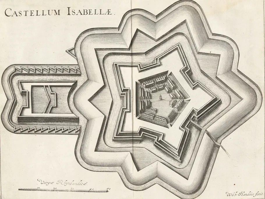 Fort Isabella Historic site, Gemeente Vught20 km SE
Sources & licences
Data last updated: · 2 independent sources