Herzogenbusch Concentration Camp
Local name: Herzogenbusch
Located in Gemeente Vught, North Brabant Coordinates: 51°39′56″ N 5°15′25″ E
- Local time
- UTC+01:00
- Europe/Amsterdam · UTC+01:00
- Elevation
- 4 m
- above sea level
- Airports
- EIN Eindhoven Airport25 km
- NRN Weeze (Niederrhein) Airport62 km
About Herzogenbusch Concentration Camp
Herzogenbusch Concentration Camp is a historic site. Location: Gemeente Vught, North Brabant.
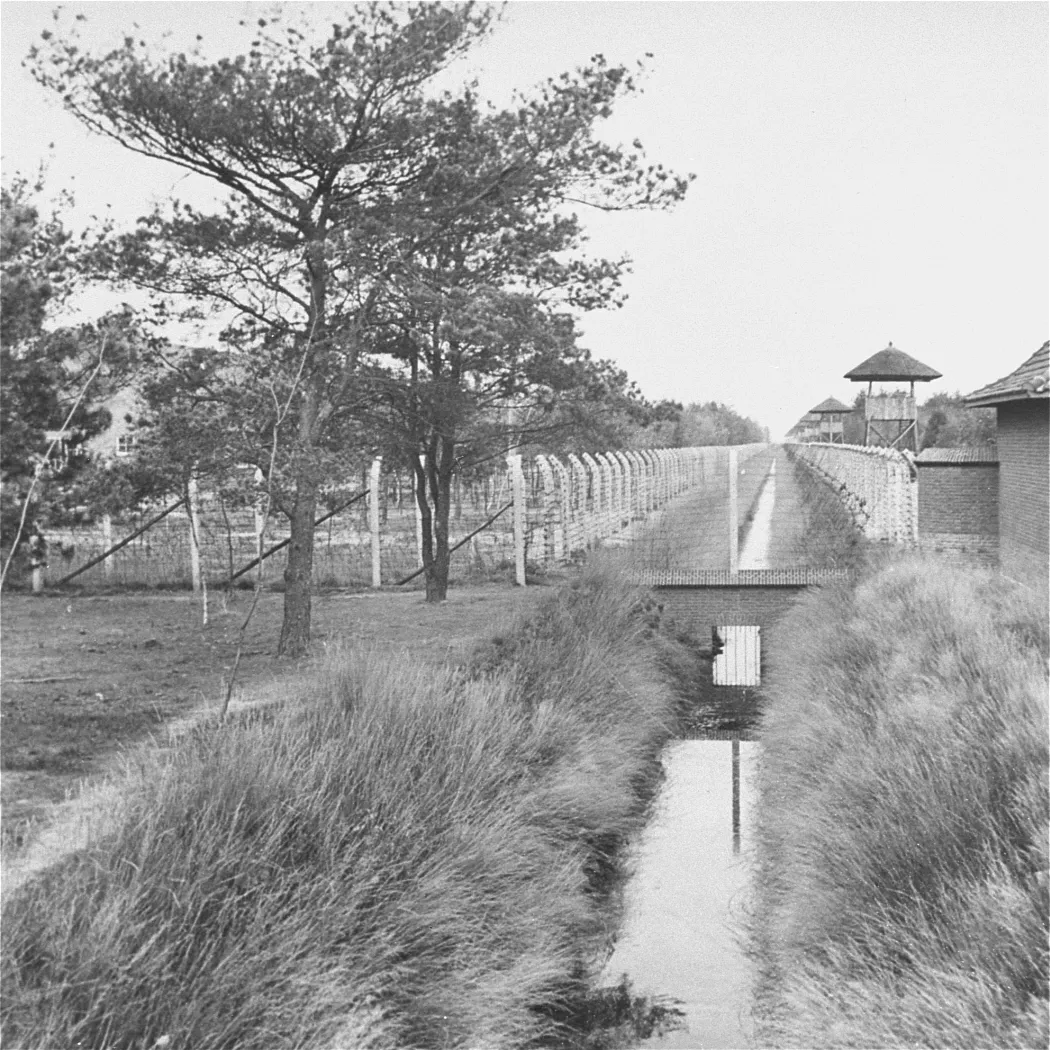
Herzogenbusch (German: [ˌhɛʁtsoːɡn̩ˈbʊʃ] ; Dutch: Kamp Vught [kɑmp ˈvʏxt]) was a Nazi concentration camp located in Vught near the city of 's-Hertogenbosch, Netherlands. The camp was opened in 1943 and held 31,000 prisoners. 749 prisoners died in the camp, and the others were transferred to other camps shortly before Herzogenbusch was liberated by the Allied Forces in 1944. After the war, the camp was used as a prison for Germans and for Dutch collaborators.
Read more on Wikipedia Text: Wikipedia contributors · CC BY-SA 4.0 · shortened
In comparison
- 8 sights and natural places within 10 km Fort Isabella, Kasteel Maurick
Climate of Herzogenbusch Concentration Camp
Best months for sightseeingBest months for sightseeing: June–August.
Bars: average monthly low and high temperature. Below: precipitation. Monthly averages for 1970–2000 at about 18 km resolution, adjusted for elevation. Highlighted months are mild and relatively dry. Source: WorldClim 2.1 (CC BY 4.0).
Show values as a table
| Month | Jan | Feb | Mar | Apr | May | Jun | Jul | Aug | Sep | Oct | Nov | Dec |
|---|---|---|---|---|---|---|---|---|---|---|---|---|
| Average high (°C) | 6° | 6° | 10° | 13° | 18° | 20° | 23° | 23° | 19° | 15° | 9° | 7° |
| Average low (°C) | 0° | 0° | 2° | 4° | 8° | 10° | 12° | 12° | 10° | 6° | 3° | 1° |
| Precipitation (mm) | 68 | 51 | 66 | 46 | 60 | 71 | 68 | 58 | 70 | 68 | 74 | 73 |
Airports nearest to Herzogenbusch Concentration Camp
- Eindhoven Airport (EIN) Eindhoven 25 km
- Weeze (Niederrhein) Airport (NRN) Weeze 62 km
- Rotterdam The Hague Airport (RTM) Rotterdam 65 km
Straight-line distance; airports with scheduled flights only. Source: OurAirports (public domain).
Nearby attractions & nature
Everything nearby-
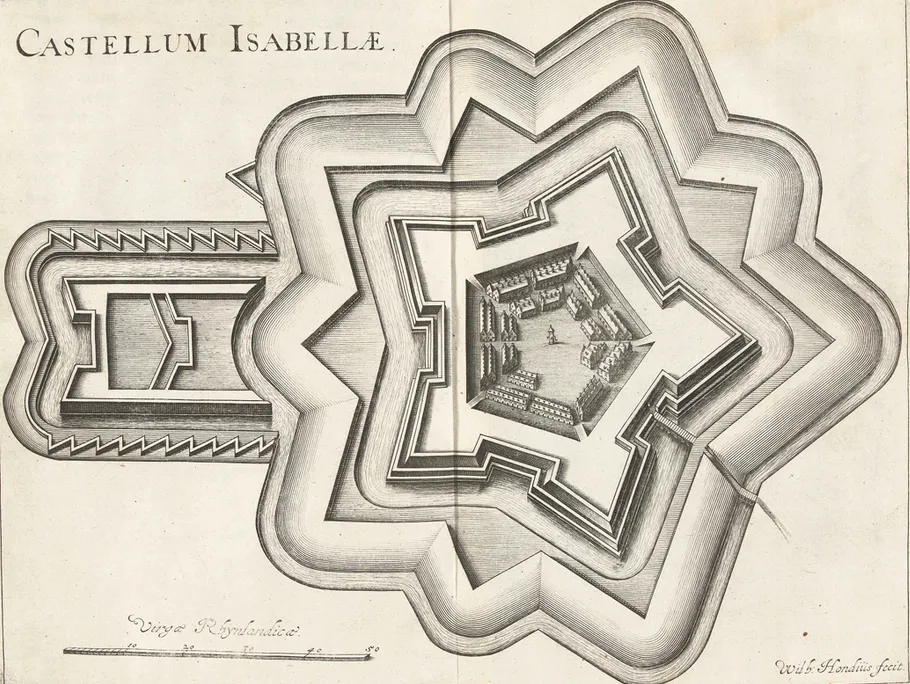 Fort Isabella Historic site, Gemeente Vught2.4 km NE
-
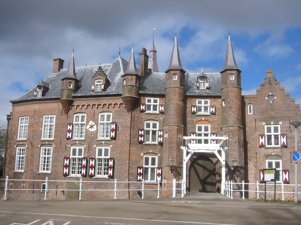 Kasteel Maurick Historic site, Gemeente Vught3.5 km E
-
 Pettelaarse Schans Historic site, Gemeente 's-Hertogenbosch4.8 km E
-
Herzogenbusch Concentration Camp (Continental) Historic site, Gemeente 's-Hertogenbosch4.8 km NE
-
Patersberg Mountain, Sint-Michielsgestel Municipality4.4 km E
-
Sint Michielsgestel Concentration Camp Historic site, Sint-Michielsgestel Municipality7.2 km E
-
Haaren Concentration Camp Historic site, Oisterwijk Municipality7.4 km S
-
Schoonberg Mountain, Sint-Michielsgestel Municipality8.1 km SE
Nearest towns and villages
-
Vught Town, Gemeente Vught2.5 km SE
-
Cromvoirt Village, Gemeente Vught1.8 km W
-
Deuteren Neighbourhood, Gemeente 's-Hertogenbosch2.5 km N
-
Distelberg Village, Gemeente Vught2.8 km W
Sources & licences
Data last updated: · 2 independent sources