Drunen
Located in Gemeente Heusden, North Brabant Coordinates: 51°41′09″ N 5°08′00″ E
- Population
- 18,320
- 18.3K
- Elevation
- 5 m
- above sea level
- Local time
- UTC+01:00
- Europe/Amsterdam · UTC+01:00
About Drunen
Drunen is a town. Location: Gemeente Heusden, North Brabant. Population: 18,320. Elevation: 5 m.
In comparison
- Most populous of 11 places in Gemeente Heusden
- Nearest larger town: Waalwijk, 4 km W
- 2 sights and natural places within 10 km Kasteel Nederhemert, Herzogenbusch Concentration Camp
Nearby attractions & nature
Everything nearby-
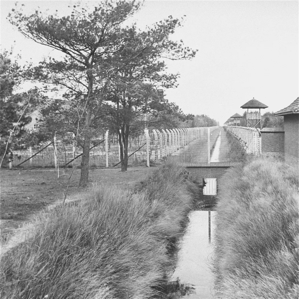 Herzogenbusch Concentration Camp Historic site, Gemeente Vught8.8 km E
-
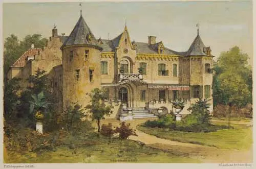 Kasteel Nederhemert Historic site, Gemeente Zaltbommel7.7 km N
-
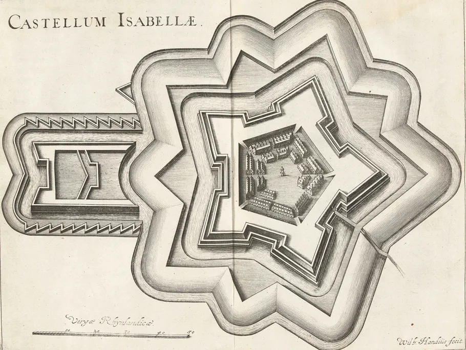 Fort Isabella Historic site, Gemeente Vught11 km E
-
Haaren Concentration Camp Historic site, Oisterwijk Municipality11 km SE
-
Herzogenbusch Concentration Camp (Continental) Historic site, Gemeente 's-Hertogenbosch12 km E
-
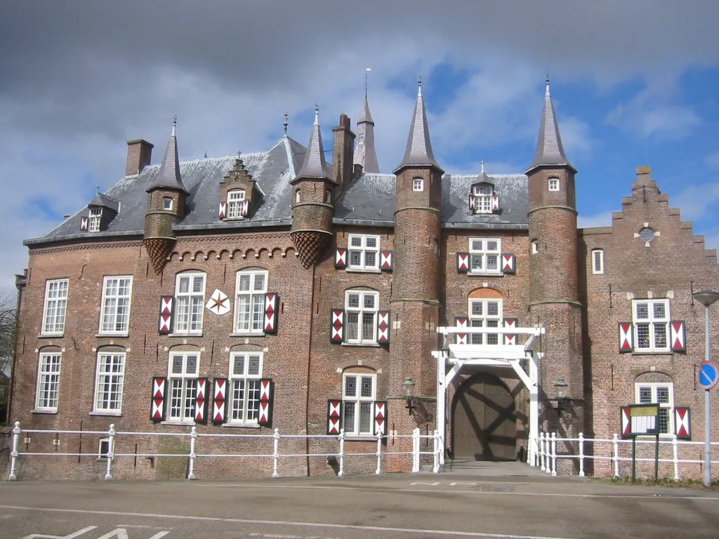 Kasteel Maurick Historic site, Gemeente Vught12 km E
-
Patersberg Mountain, Sint-Michielsgestel Municipality13 km E
-
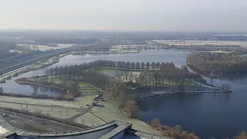 Pettelaarse Schans Historic site, Gemeente 's-Hertogenbosch13 km E
Sources & licences
Data last updated: