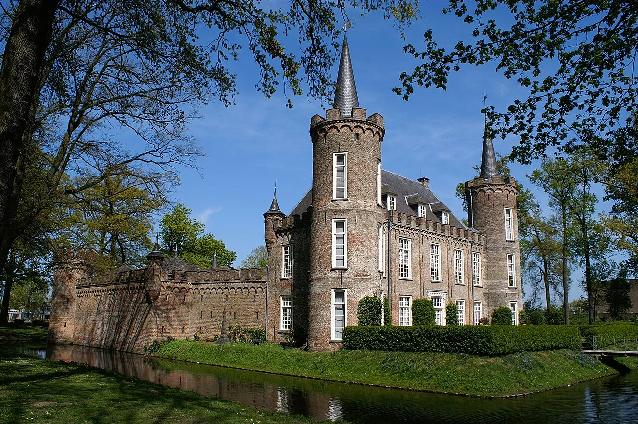
Henkenshage
Located in Meierijstad, North Brabant Coordinates: 51°33′32″ N 5°27′23″ E
- Local time
- UTC+01:00
- Europe/Amsterdam · UTC+01:00
- Elevation
- 13 m
- above sea level
About Henkenshage
Henkenshage is a historic site. Location: Meierijstad, North Brabant.
Henkenshage is a notable building located in the municipality of Meierijstad in the Netherlands. It is a former fortified farmhouse, known in the 14th century as a Strijpe or Streepe. The building, often mistaken for a castle, is not a real castle but rather a manor house. In 1818, Henkenshage was bought by Dutch diplomat and civil servant Christaan Diederik Emerens Johan Bangeman Huygens, who was Minister Plenipotentiary of the Kingdom of the Netherlands in Washington, D.C. from 1825 to 1832.
Read more on Wikipedia Text: Wikipedia contributors · CC BY-SA 4.0 · shortened
At a glance
- Heritage designation
- Rijksmonument
Source: Wikidata
Nearby attractions & nature
Everything nearby-
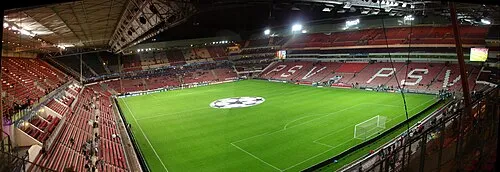 Philips Stadium Landmark, Eindhoven Municipality13 km S
-
Sint Michielsgestel Concentration Camp Historic site, Sint-Michielsgestel Municipality12 km NW
-
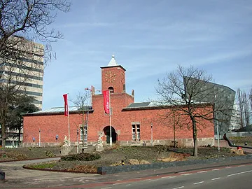 Van Abbe museum Museum, Eindhoven Municipality14 km S
-
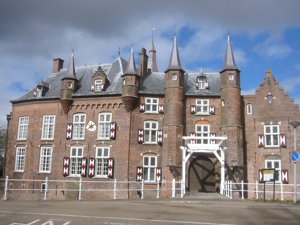 Kasteel Maurick Historic site, Gemeente Vught15 km NW
-
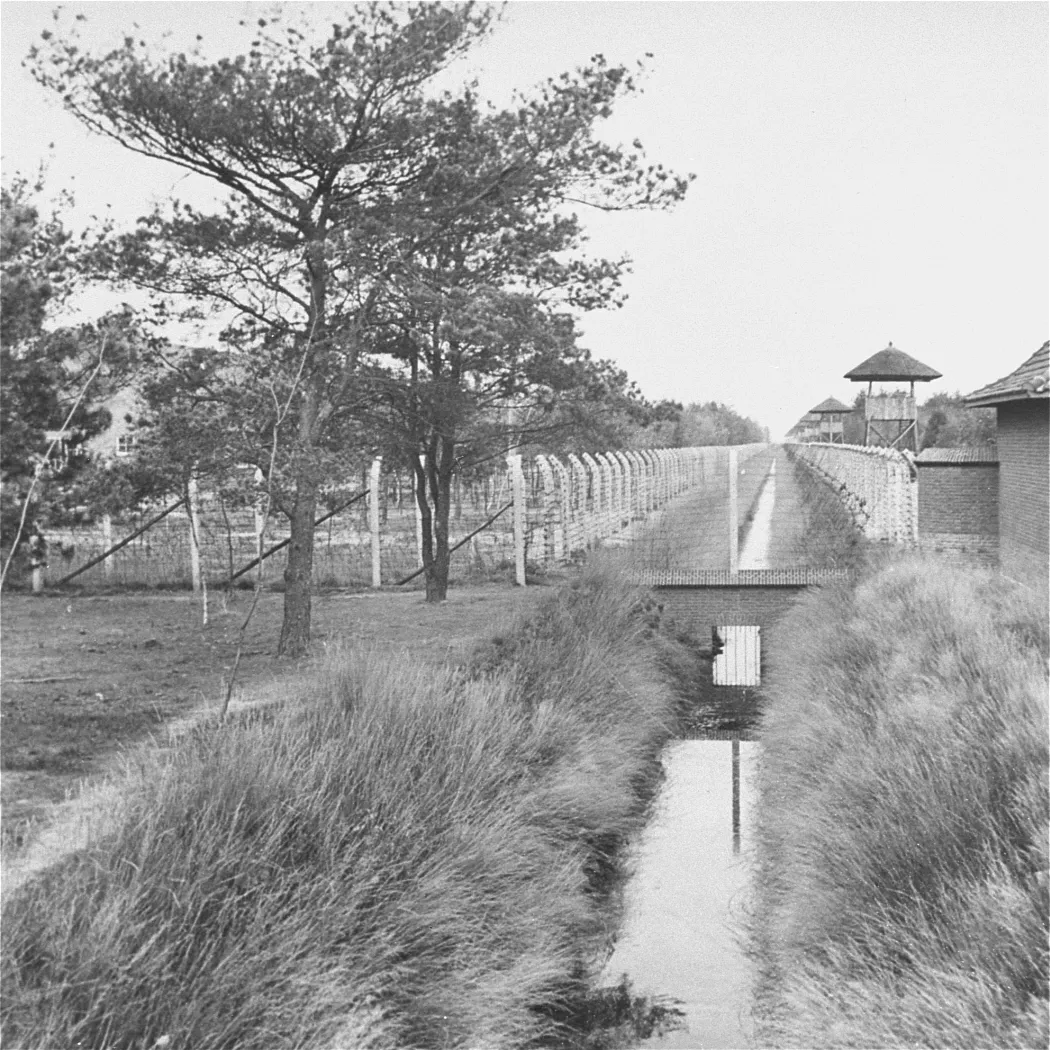 Herzogenbusch Concentration Camp Historic site, Gemeente Vught18 km NW
-
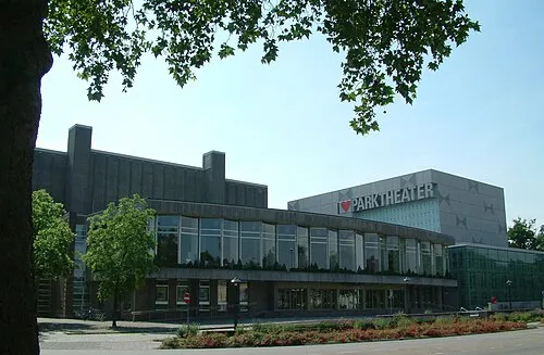 Parktheater Eindhoven Attraction, Eindhoven Municipality15 km S
-
Eindhoven Concentration Camp Historic site, Eindhoven Municipality13 km S
-
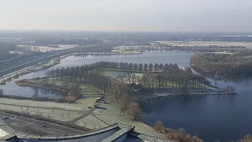 Pettelaarse Schans Historic site, Gemeente 's-Hertogenbosch16 km NW
Nearest towns and villages
-
Sint-Oedenrode Town, Meierijstad1 km N
-
Eerschot Village, Meierijstad1.6 km NE
-
Nijnsel Village, Meierijstad2.1 km SE
-
Boskant Village, Meierijstad2.7 km W
Sources & licences
Data last updated: · 2 independent sources