Haren
Located in Oss Municipality, North Brabant Coordinates: 51°48′06″ N 5°35′05″ E
- Population
- 690
- 690
- Elevation
- 8 m
- above sea level
- Local time
- UTC+01:00
- Europe/Amsterdam · UTC+01:00
About Haren
Haren is a village. Location: Oss Municipality, North Brabant. Population: 690. Elevation: 8 m.
Haren is a village in the municipality of Oss in the province of North Brabant, Netherlands. The village was first mentioned in 1191 as "Egenus de Haren", which means "sandy ridge". The chapel of the monastery of the Sisters of St. Francis was built in 1520. The monastery is surrounded by a moat and was buildings from the 17th century. The Catholic St Lambertus Church was built between 1867 and 1868 in Gothic Revival style. Haren was home to 485 people in 1840.
Read more on Wikipedia Text: Wikipedia contributors · CC BY-SA 4.0 · shortened
In comparison
- No. 12 of 24 places in Oss Municipality by population
- Nearest larger town: Megen, 3 km NW
Airports nearest to Haren
- Eindhoven Airport (EIN) Eindhoven 42 km
- Weeze (Niederrhein) Airport (NRN) Weeze 44 km
- Amsterdam Airport Schiphol (AMS) Amsterdam 80 km
Straight-line distance; airports with scheduled flights only. Source: OurAirports (public domain).
Nearby attractions & nature
Everything nearby-
 Waalbrug Landmark, Nijmegen Municipality21 km E
-
 Museum Het Valkhof Museum, Nijmegen Municipality20 km E
-
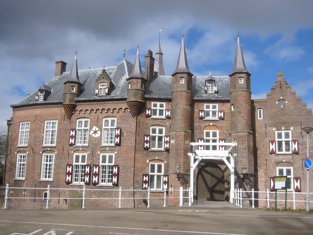 Kasteel Maurick Historic site, Gemeente Vught25 km SW
-
Sint Michielsgestel Concentration Camp Historic site, Sint-Michielsgestel Municipality24 km SW
-
 Duivelsberg Mountain, Berg en Dal Municipality25 km E
-
Patersberg Mountain, Sint-Michielsgestel Municipality24 km SW
Sources & licences
Data last updated: · 2 independent sources