Herpen
Located in Oss Municipality, North Brabant Coordinates: 51°46′18″ N 5°38′30″ E
- Population
- 2,360
- 2.4K
- Elevation
- 10 m
- above sea level
- Local time
- UTC+01:00
- Europe/Amsterdam · UTC+01:00
About Herpen
Herpen is a village. Location: Oss Municipality, North Brabant. Population: 2,360. Elevation: 10 m.
Herpen is a village in North Brabant. It lies between Oss and Nijmegen. Since 2003, Herpen is part of municipality Oss. In the period 1941 - 2003 it was part of municipality Ravenstein, a small city near the river Maas. Before 1941, Herpen had its own municipality, covering the villages Overlangel and Koolwijk. In the early history, Herpen was the home of Alard van Herpen, a medieval lord.
Read more on Wikipedia Text: Wikipedia contributors · CC BY-SA 4.0 · shortened
In comparison
- No. 5 of 24 places in Oss Municipality by population
- Nearest larger town: Schaijk, 3 km S
Nearby attractions & nature
Everything nearby-
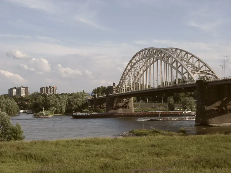 Waalbrug Landmark, Nijmegen Municipality18 km NE
-
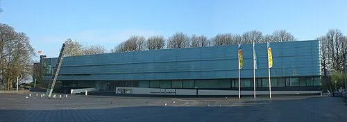 Museum Het Valkhof Museum, Nijmegen Municipality18 km NE
-
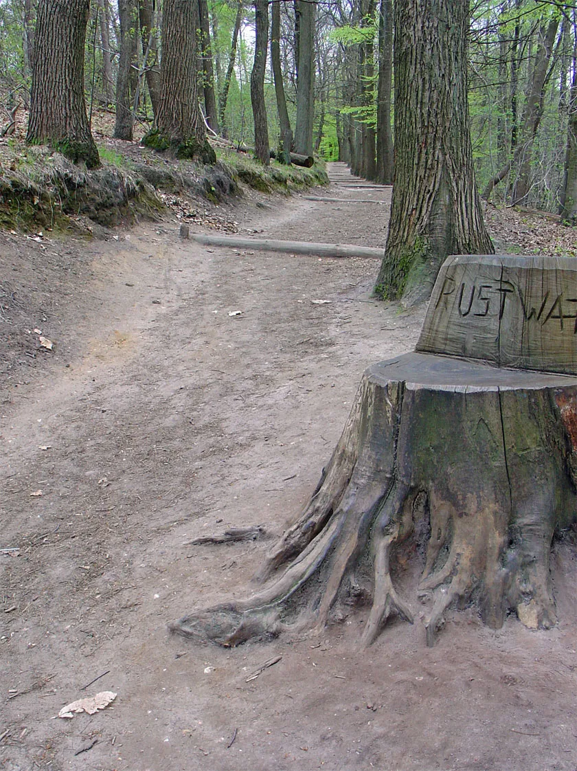 Duivelsberg Mountain, Berg en Dal Municipality22 km E
-
Sint Michielsgestel Concentration Camp Historic site, Sint-Michielsgestel Municipality25 km SW
-
Hooge Langeberg Mountain, Berg en Dal Municipality17 km E
-
Lage Langeberg Mountain, Berg en Dal Municipality17 km E
Sources & licences
Data last updated: · 2 independent sources