De Heen
Located in Steenbergen Municipality, North Brabant Coordinates: 51°36′27″ N 4°16′15″ E
- Population
- 410
- 410
- Elevation
- -1 m
- above sea level
- Local time
- UTC+01:00
- Europe/Amsterdam · UTC+01:00
About De Heen
De Heen is a village. Location: Steenbergen Municipality, North Brabant. Population: 410. Elevation: -1 m.
In comparison
- No. 6 of 8 places in Steenbergen Municipality by population
- Nearest larger town: Nieuw-Vossemeer, 4 km SW
Nearby attractions & nature
Everything nearby-
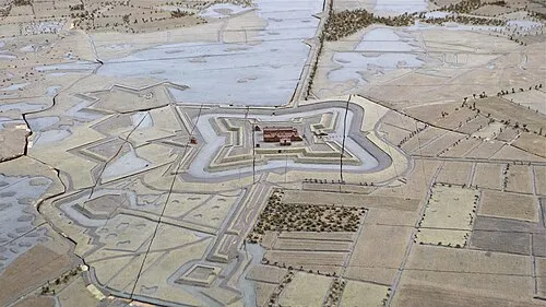 Fort de Roovere Historic site, Bergen op Zoom Municipality9 km S
-
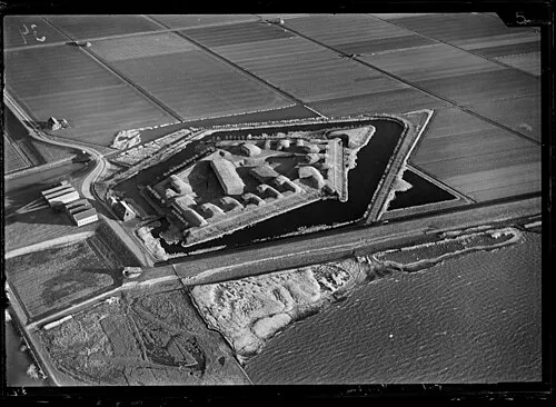 Sabina Henrica Fort Historic site, Moerdijk Municipality12 km NE
-
Haringvlietbrug Landmark, The Netherlands15 km NE
-
Steertse Duinen Natural site, Antwerp Province24 km SE
-
Nolse Duinen Natural site, Antwerp Province25 km SE
-
Roosendaal Concentration Camp Historic site, Roosendaal Municipality16 km SE
Sources & licences
Data last updated: · 2 independent sources