Sabina Henrica Fort
Located in Moerdijk Municipality, North Brabant Coordinates: 51°40′37″ N 4°23′44″ E
- Local time
- UTC+01:00
- Europe/Amsterdam · UTC+01:00
- Elevation
- 1 m
- above sea level
- Airports
- RTM Rotterdam The Hague Airport31 km
- ANR Antwerp International Airport (Deurne)54 km
About Sabina Henrica Fort
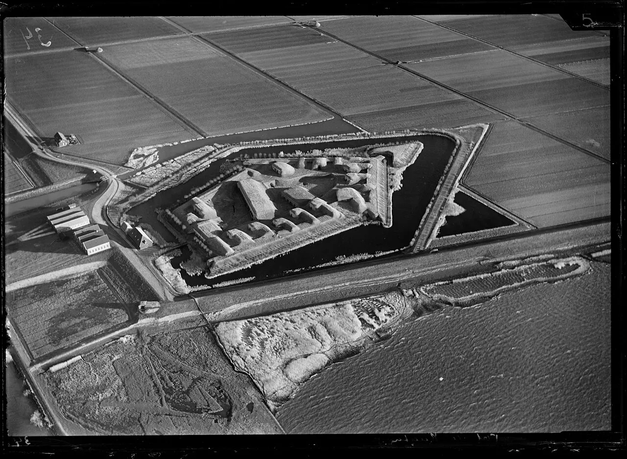
Sabina Henrica Fort is a historic site. Location: Moerdijk Municipality, North Brabant. The best months to visit are June–August. The nearest airport is Rotterdam The Hague Airport (31 km). Nearby sights include Haringvlietbrug and Fort de Roovere.
At a glance
- Heritage designation
- Rijksmonument complex
Source: Wikidata
Photos of Sabina Henrica Fort
-

J.L. van Loon · CC BY-SA 3.0 nl -

J.L. van Loon · CC BY-SA 3.0 nl -

J.L. van Loon · CC BY-SA 3.0 nl


Climate of Sabina Henrica Fort
Best months for sightseeingBest months for sightseeing: June–August.
This month · November
A cold month
Day 10° · Night 4° · Rain 86 mm
- Hottest month
- August (day 22°)
- Coldest month
- February (night 0°)
- Wettest month
- November (86 mm)
- Driest month
- April (46 mm)
Bars: average monthly low and high temperature. Below: precipitation. Monthly averages for 1970–2000 at about 18 km resolution, adjusted for elevation. Highlighted months are mild and relatively dry. Source: WorldClim 2.1 (CC BY 4.0).
Show values as a table
| Month | Jan | Feb | Mar | Apr | May | Jun | Jul | Aug | Sep | Oct | Nov | Dec |
|---|---|---|---|---|---|---|---|---|---|---|---|---|
| Average high (°C) | 6° | 6° | 9° | 13° | 17° | 19° | 21° | 22° | 19° | 14° | 10° | 7° |
| Average low (°C) | 1° | 0° | 2° | 4° | 8° | 11° | 13° | 12° | 10° | 7° | 4° | 2° |
| Precipitation (mm) | 66 | 50 | 65 | 46 | 53 | 71 | 75 | 62 | 80 | 81 | 86 | 77 |
How to get to Sabina Henrica Fort
The nearest airport is Rotterdam The Hague Airport (RTM), 31 km to the north as the crow flies. The nearest large city is Dordrecht, 24 km to the northeast.
Airports
- Rotterdam The Hague Airport (RTM) Rotterdam 31 kmnorth
- Antwerp International Airport (Deurne) (ANR) Antwerp 54 kmsouth
- Eindhoven Airport (EIN) Eindhoven 72 kmeast
Nearby large cities
- Dordrecht Population: 119.3K 24 kmnortheast
- Rotterdam Population: 868.1K 28 kmnorth
- Breda Population: 184.1K 28 kmeast
- Zoetermeer Population: 115.8K 43 kmnorth
- The Hague Population: 474.3K 45 kmnorth
Straight-line distances; road distances are longer. Airport data: OurAirports.
Day trips from Sabina Henrica Fort
Within 100 km: 247 historic and cultural sites, 241 natural sites, 492 lakes, rivers and coasts.
0–25 km9 places
- IJsselmonde Island 23 kmN
- Essen Duinen Natural site 25 kmSE
- Zoom River 22 kmSW
- Moordeich Concentration Camp Historic site 16 kmE
25–60 km213 places
- Het Eiland Island 60 kmSW
- Putse Moer Lake 33 kmS
- Stappensven Lake 30 kmS
- Kleine Weel Lake 46 kmS
60–100 km758 places
- Knokke-Strand Beach 85 kmSW
- Hofstademeer Lake 77 kmS
- Vijvers van Bellefroid Lake 88 kmS
- Wijngaardberg Mountain 85 kmS
Straight-line distances.
Nearby attractions & nature
Everything nearby-
Haringvlietbrug Landmark, The Netherlands4.4 km N
-
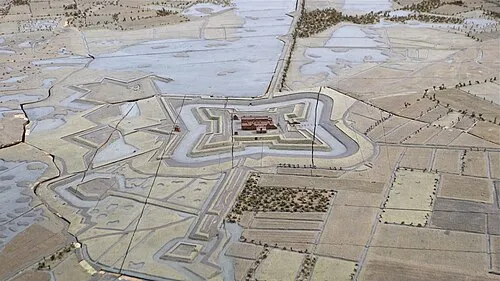 Fort de Roovere Historic site, Bergen op Zoom Municipality18 km S
-
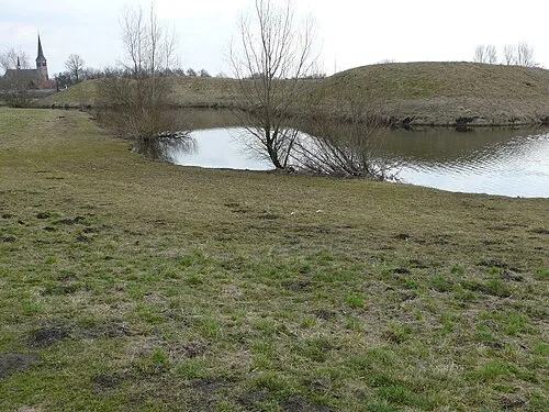 Kleine Schans Historic site, Drimmelen Municipality24 km E
-
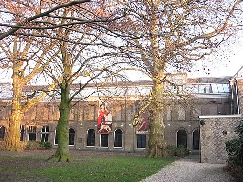 Dordrechts Museum Museum, Dordrecht Municipality24 km NE
-
Roosendaal Concentration Camp Historic site, Roosendaal Municipality16 km S
-
Moordeich Concentration Camp Historic site, Moerdijk Municipality16 km E
-
IJsselmonde Island, South Holland23 km N
-
Essen Duinen Natural site, Antwerp Province25 km SE
Nearest towns and villages
-
Heijningen Village, Moerdijk Municipality2.5 km S
-
Helwijk Village, Moerdijk Municipality2.5 km E
-
Willemstad Village, Moerdijk Municipality3.4 km NE
-
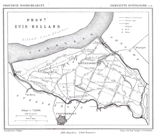 Dinteloord Town, Steenbergen Municipality5 km S
Sources & licences
Data last updated: · 2 independent sources