Dinteloord
Located in Steenbergen Municipality, North Brabant Coordinates: 51°38′06″ N 4°22′10″ E
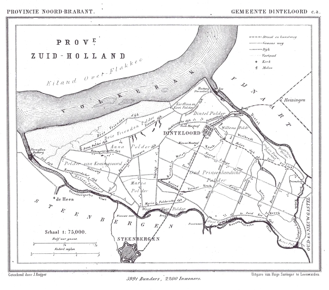
- Population
- 5,105
- 5.1K
- Elevation
- -1 m
- above sea level
- Local time
- UTC+01:00
- Europe/Amsterdam · UTC+01:00
About Dinteloord
Dinteloord is a town. Location: Steenbergen Municipality, North Brabant. Population: 5,105. Elevation: -1 m.
Dinteloord is a village in the Dutch province of North Brabant. Dinteloord is known for its sugar factory, and the Muza festivals that have been held here for over 50 years.
Read more on Wikipedia Text: Wikipedia contributors · CC BY-SA 4.0 · shortened
At a glance
- Area
- 2.6 km²
Source: Wikidata
In comparison
- No. 2 of 8 places in Steenbergen Municipality by population
- Nearest larger town: Steenbergen, 7 km SW
- 2 sights and natural places within 10 km Sabina Henrica Fort, Haringvlietbrug
Nearby attractions & nature
Everything nearby-
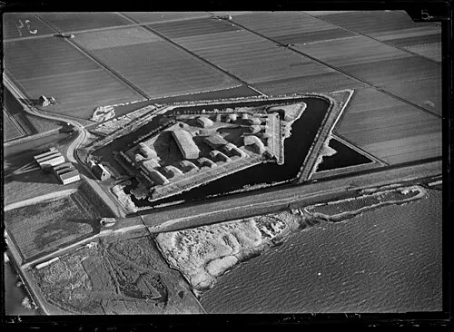 Sabina Henrica Fort Historic site, Moerdijk Municipality5 km N
-
Haringvlietbrug Landmark, The Netherlands9.3 km N
-
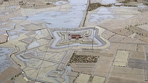 Fort de Roovere Historic site, Bergen op Zoom Municipality13 km S
-
Roosendaal Concentration Camp Historic site, Roosendaal Municipality13 km SE
-
Steertse Duinen Natural site, Antwerp Province25 km S
-
Essen Duinen Natural site, Antwerp Province22 km SE
-
Moordeich Concentration Camp Historic site, Moerdijk Municipality19 km NE
-
Zoom River, Belgium17 km SW
Sources & licences
Data last updated: · 2 independent sources