Veldhoven Municipality
Located in North Brabant, The Netherlands Coordinates: 51°24′45″ N 5°22′50″ E
- Population
- 45,500
- 45.5K
- Elevation
- 22 m
- above sea level
- Local time
- UTC+01:00
- Europe/Amsterdam · UTC+01:00
- Places inside
- 8
- listed under Veldhoven Municipality
About Veldhoven Municipality
Veldhoven Municipality is a district. Location: North Brabant, The Netherlands. Population: 45,500.
Veldhoven (Dutch pronunciation: [ˈvɛltˌɦoːvə(n)] ) is a municipality and town on the Gender in the southern Netherlands, just southwest of Eindhoven, in the province of North Brabant.
Read more on Wikipedia Text: Wikipedia contributors · CC BY-SA 4.0 · shortened
At a glance
- Area
- 31.9 km²
Source: Wikidata
In comparison
- 4 sights and natural places within 10 km Philips Stadium, Eindhoven Concentration Camp
- Listed here: Village: 4, Neighbourhood: 3, Town: 1
Places in Veldhoven Municipality
8 places-
Veldhoven Town5.3K
-
Zeelst Neighbourhood5.3K
-
Zonderwijk Neighbourhood3.4K
-
Meerveldhoven Neighbourhood2.4K
-
Oerle Village2K
-
Zandoerle Village105
-
Halfmijl Village
-
Heers Village
Nearby attractions & nature
Everything nearby-
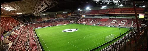 Philips Stadium Landmark, Eindhoven Municipality6.9 km NE
-
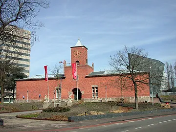 Van Abbe museum Museum, Eindhoven Municipality7.5 km E
-
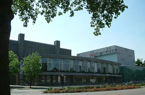 Parktheater Eindhoven Attraction, Eindhoven Municipality7.5 km E
-
Eindhoven Concentration Camp Historic site, Eindhoven Municipality7 km NE
-
Appelenberg Mountain, Gemeente Reusel-De Mierden19 km W
-
Riebosserheide Natural site, Limburg Province19 km SW
Sources & licences
Data last updated: · 2 independent sources