Eindhoven Municipality
Local name: Eindhoven
Located in North Brabant, The Netherlands Coordinates: 51°27′01″ N 5°27′10″ E
- Population
- 229,126
- 229.1K
- Elevation
- 21 m
- above sea level
- Local time
- UTC+01:00
- Europe/Amsterdam · UTC+01:00
- Places inside
- 33
- listed under Eindhoven Municipality
About Eindhoven Municipality
Eindhoven Municipality is a district. Location: North Brabant, The Netherlands. Population: 229,126.
Eindhoven (, EYENT-hoh-vən;; Dutch: [ˈɛintˌɦoːvə(n)] ) is a city and municipality in the Netherlands. It is the largest city in the southern province of North Brabant, and is located in the Dutch part of the Campine natural region. With a population of 249,054 (1 January 2025) on a territory of 88.92 km2, it is the fifth-largest city of the Netherlands and the largest outside the Randstad conurbation. Eindhoven was originally located at the confluence of the Dommel and the Gender.
Read more on Wikipedia Text: Wikipedia contributors · CC BY-SA 4.0 · shortened
At a glance
- Area
- 88.8 km²
Source: Wikidata
In comparison
- 4 sights and natural places within 10 km Philips Stadium, Eindhoven Concentration Camp
- Listed here: Neighbourhood: 21, Village: 5, Town: 2, Attraction: 1
Places in Eindhoven Municipality
33 places-
Eindhoven City235.7K
-
Tongelre Neighbourhood19.7K
-
Meerhoven Neighbourhood7.2K
-
De Doornakkers Neighbourhood6.3K
-
Generalenbuurt Town5.5K
-
Grasrijk Neighbourhood5.4K
-
Woenselse Heide Neighbourhood5.2K
-
Vaartbroek Town5.2K
-
Eckart Neighbourhood4.3K
-
Muschberg en Geestenberg Neighbourhood3.8K
-
Vlokhoven Village3.6K
-
Jagershoef Neighbourhood3.6K
-
't Hofke Neighbourhood3.5K
-
Lakerlopen Neighbourhood3.4K
-
Lievendaal Neighbourhood3.2K
-
Heesterakker Neighbourhood2.8K
-
Blaarthem Neighbourhood2.5K
-
Villapark Neighbourhood2K
-
Tivoli Neighbourhood1.5K
-
Ooievaarsnest Neighbourhood900
-
Koudenhoven Neighbourhood485
-
Karpen Neighbourhood425
-
Het Busselke Neighbourhood250
-
Urkhoven Village180
-
Bokt Village125
-
Riel Village115
-
Gennep Neighbourhood30
-
Esp Village10
-
De Tempel Neighbourhood
-
Eindhoven Concentration Camp Historic site
-
Parktheater Eindhoven Attraction
-
Philips Stadium Landmark
-
Van Abbe museum Museum
Nearby attractions & nature
Everything nearby-
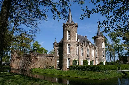 Henkenshage Historic site, Meierijstad12 km N
-
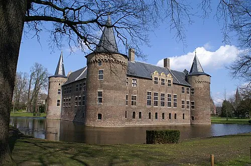 Kasteel Helmond Historic site, Gemeente Helmond14 km E
-
Sint Michielsgestel Concentration Camp Historic site, Sint-Michielsgestel Municipality22 km N
-
Schoonberg Mountain, Sint-Michielsgestel Municipality20 km NW
-
Appelenberg Mountain, Gemeente Reusel-De Mierden24 km W
-
Haaren Concentration Camp Historic site, Oisterwijk Municipality23 km NW
Sources & licences
Data last updated: · 2 independent sources