Heiloo Municipality
Located in North Holland, The Netherlands Coordinates: 52°36′04″ N 4°42′34″ E
- Population
- 24,144
- 24.1K
- Elevation
- 6 m
- above sea level
- Local time
- UTC+01:00
- Europe/Amsterdam · UTC+01:00
- Places inside
- 2
- listed under Heiloo Municipality
About Heiloo Municipality
Heiloo Municipality is a district. Location: North Holland, The Netherlands. Population: 24,144.
Heiloo (Dutch pronunciation: [ɦɛiˈloː] ) is a municipality and town in the Netherlands, located in the province of North Holland. The community is part of the cooperation region Kennemerland and is located in the historical region of West Friesland. Heiloo had a population of 24,144 in 2021.
Read more on Wikipedia Text: Wikipedia contributors · CC BY-SA 4.0 · shortened
At a glance
- Area
- 19 km²
Source: Wikidata
In comparison
- Listed here: City: 1, Neighbourhood: 1
Places in Heiloo Municipality
2 placesNearby attractions & nature
Everything nearby-
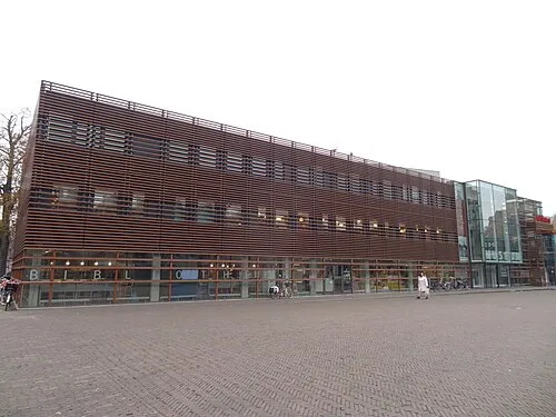 Stedelijk Museum Alkmaar Museum, Alkmaar Municipality4.3 km NE
-
De Kruisberg Mountain, Gemeente Heemskerk10 km SW
-
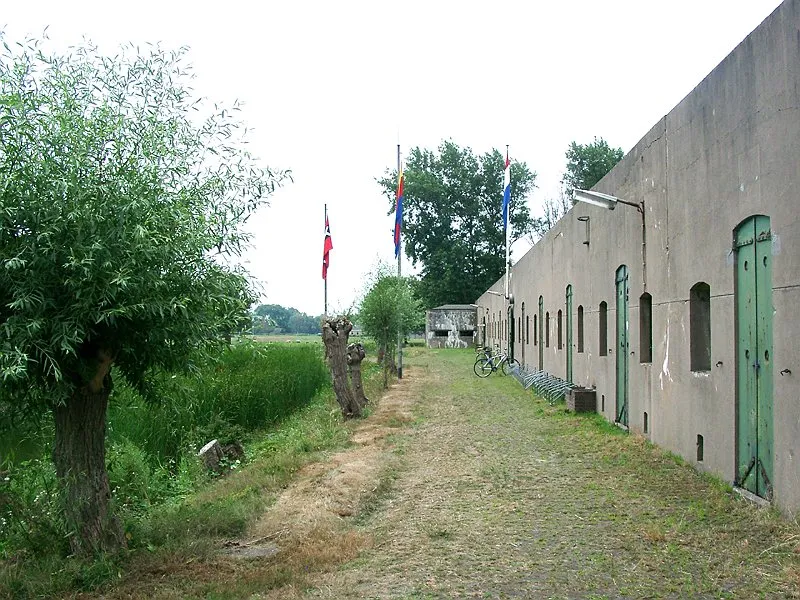 Ham Fort Historic site, Uitgeest Municipality11 km S
-
Baaknol Mountain, Bergen13 km N
-
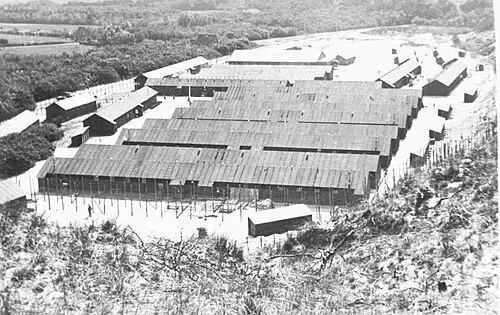 Police Custody Camp Schoorl Historic site, Bergen12 km N
-
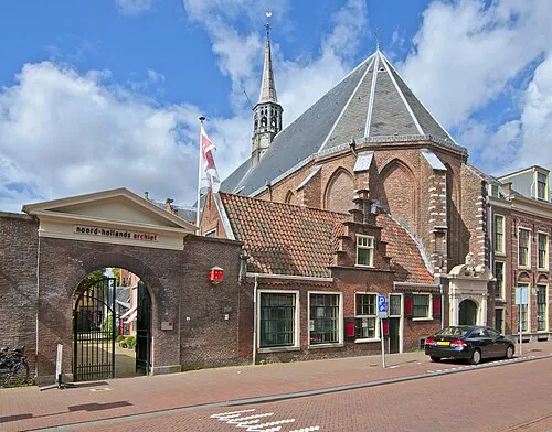 Janskerk Attraction, Gemeente Haarlem25 km S
Sources & licences
Data last updated: · 2 independent sources