Gemeente Heemskerk
Local name: Heemskerk
Located in North Holland, The Netherlands Coordinates: 52°30′34″ N 4°39′14″ E
- Population
- 39,191
- 39.2K
- Elevation
- 3 m
- above sea level
- Local time
- UTC+01:00
- Europe/Amsterdam · UTC+01:00
- Places inside
- 7
- listed under Gemeente Heemskerk
About Gemeente Heemskerk
Gemeente Heemskerk is a district. Location: North Holland, The Netherlands. Population: 39,191.
Heemskerk (Dutch pronunciation: [ˈɦeːmskɛr(ə)k] or [ɦeːmsˈkɛr(ə)k]) is a municipality and a town in the Netherlands, in the province of North Holland. It is located in the Kennemerland region.
Read more on Wikipedia Text: Wikipedia contributors · CC BY-SA 4.0 · shortened
At a glance
- Area
- 31.9 km²
Source: Wikidata
In comparison
- 2 sights and natural places within 10 km De Kruisberg, Ham Fort
- Listed here: Neighbourhood: 3, Village: 2, City: 1, Mountain: 1
Airports nearest to Gemeente Heemskerk
- Amsterdam Airport Schiphol (AMS) Amsterdam 24 km
- Rotterdam The Hague Airport (RTM) Rotterdam 63 km
- Eindhoven Airport (EIN) Eindhoven 128 km
Straight-line distance; airports with scheduled flights only. Source: OurAirports (public domain).
Places in Gemeente Heemskerk
7 places-
Heemskerk City39.2K
-
Waterakkers Neighbourhood2.8K
-
Commandeurs Neighbourhood2.4K
-
De Maer Neighbourhood1.2K
-
Heemskerkerduin Village845
-
Noorddorp Village315
-
De Kruisberg Mountain
Nearby attractions & nature
Everything nearby-
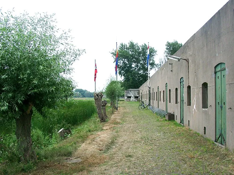 Ham Fort Historic site, Uitgeest Municipality5.6 km E
-
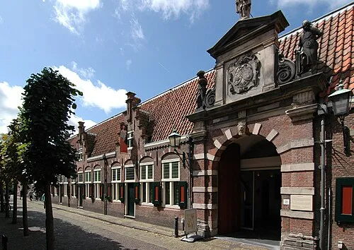 Frans Hals Museum Museum, Gemeente Haarlem15 km S
-
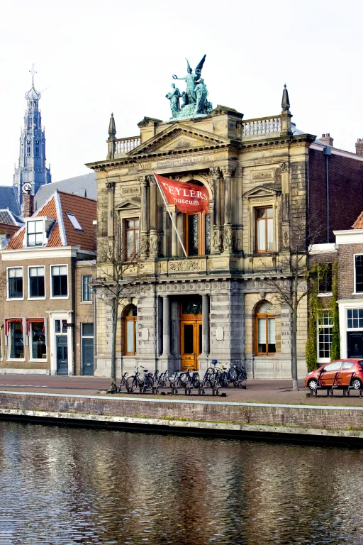 Teylers Museum Museum, Gemeente Haarlem14 km S
-
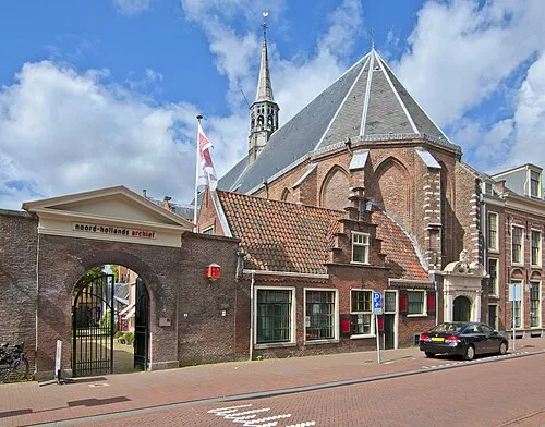 Janskerk Attraction, Gemeente Haarlem14 km S
-
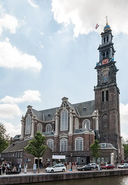 Westerkerk Attraction, Gemeente Amsterdam22 km SE
-
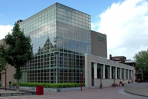 Van Gogh Museum Museum, Gemeente Amsterdam23 km SE
Sources & licences
Data last updated: · 2 independent sources