Gemeente Zaanstad
Located in North Holland, The Netherlands Coordinates: 52°27′11″ N 4°48′45″ E
- Population
- 156,901
- 156.9K
- Elevation
- 3 m
- above sea level
- Local time
- UTC+01:00
- Europe/Amsterdam · UTC+01:00
- Places inside
- 16
- listed under Gemeente Zaanstad
About Gemeente Zaanstad
Gemeente Zaanstad is a district. Location: North Holland, The Netherlands. Population: 156,901.
In comparison
- 5 sights and natural places within 10 km Ham Fort, Het Schip
- Listed here: Town: 6, Village: 6, Neighbourhood: 3, City: 1
Places in Gemeente Zaanstad
16 places-
Zaanstad City140.1K
-
Zaandam Town71.7K
-
Assendelft Town25.5K
-
Krommenie Town17.2K
-
Koog aan de Zaan Town11.3K
-
Zaandijk Town8.9K
-
Westzaan Town5.1K
-
Langeheit Village1.2K
-
J. J. Allanstraat Neighbourhood665
-
Krommeniedijk Village485
-
Westknollendam Village485
-
Nauerna Village350
-
Hembrug Neighbourhood255
-
Middel Village100
-
Haaldersbroek Neighbourhood
-
Wormerveer Village
Nearby attractions & nature
Everything nearby-
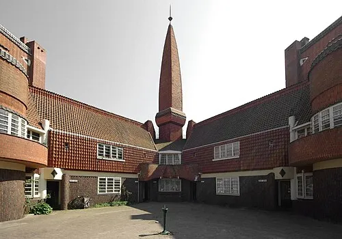 Het Schip Museum, Gemeente Amsterdam8.1 km SE
-
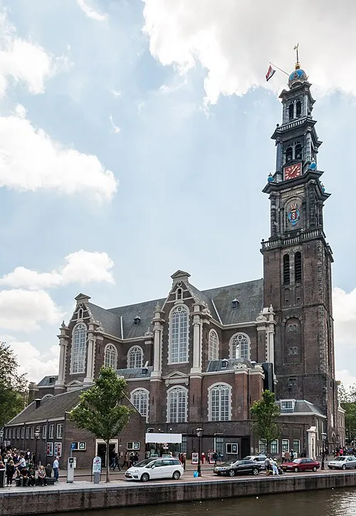 Westerkerk Attraction, Gemeente Amsterdam10 km SE
-
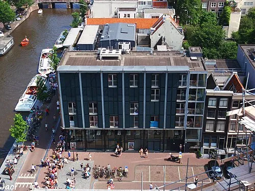 Anne Frank House Museum, Gemeente Amsterdam9.9 km SE
-
 Noorderkerk Attraction, Gemeente Amsterdam9.6 km SE
-
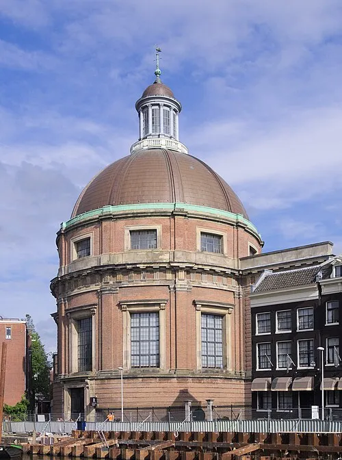 Ronde Lutherse Kerk Attraction, Gemeente Amsterdam10 km SE
-
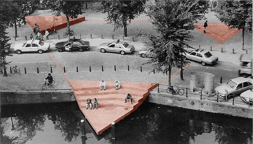 Homomonument Landmark, Gemeente Amsterdam10 km SE
Sources & licences
Data last updated: