Purmerend Municipality
Located in North Holland, The Netherlands Coordinates: 52°30′19″ N 4°57′09″ E
- Population
- 81,683
- 81.7K
- Elevation
- 4 m
- above sea level
- Local time
- UTC+01:00
- Europe/Amsterdam · UTC+01:00
- Places inside
- 7
- listed under Purmerend Municipality
About Purmerend Municipality
Purmerend Municipality is a district. Location: North Holland, The Netherlands. Population: 81,683.
Purmerend (Dutch pronunciation: [ˌpʏrməˈrɛnt] ) is a city and municipality in the west of the Netherlands, in the province of North Holland. The city is surrounded by polders, such as the Purmer, Beemster and the Wormer. Purmerend's population grew relatively slowly until the 1960s, when it increased from around 10,000 to over 80,000 by 2020. This expansion has turned Purmerend into a commuter town; many inhabitants (14,200 in 2011) work, go to school or spend leisure time in Amsterdam.
Read more on Wikipedia Text: Wikipedia contributors · CC BY-SA 4.0 · shortened
At a glance
- Area
- 24.6 km²
Source: Wikidata
In comparison
- Listed here: Village: 4, Town: 2, Neighbourhood: 1
Places in Purmerend Municipality
7 places-
Purmerend Town80.1K
-
Middenbeemster Town6.1K
-
Zuidoostbeemster Village4.5K
-
Halfweg Village2.3K
-
Westbeemster Village795
-
Noordbeemster Village610
-
Weidevenne Neighbourhood
Nearby attractions & nature
Everything nearby-
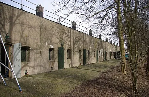 Edam Fort Historic site, Edam-Volendam7.9 km E
-
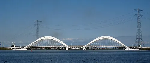 Enneüs Heerma Bridge Landmark, North Holland16 km S
-
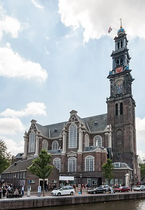 Westerkerk Attraction, Gemeente Amsterdam15 km S
-
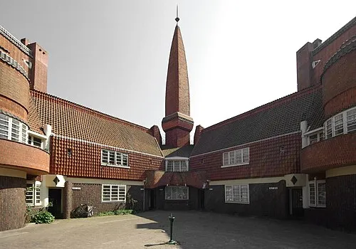 Het Schip Museum, Gemeente Amsterdam14 km SW
-
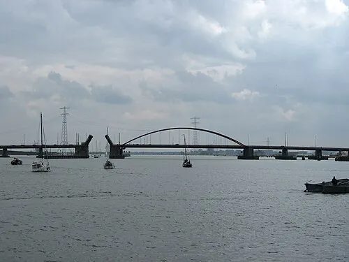 Schellingwouderbrug Landmark, North Holland14 km S
-
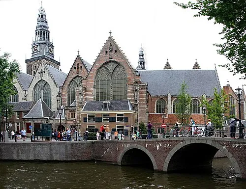 Oude Kerk Attraction, Gemeente Amsterdam15 km S
Sources & licences
Data last updated: · 2 independent sources