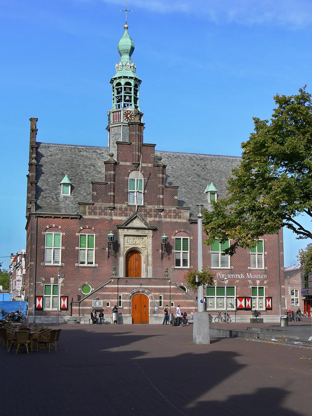
- Population
- 80,117
- 80.1K
- Elevation
- 2 m
- above sea level
- Local time
- UTC+01:00
- Europe/Amsterdam · UTC+01:00
- Airports
- AMS Amsterdam Airport Schiphol26 km
- RTM Rotterdam The Hague Airport71 km
About Purmerend
Purmerend is a town. Location: Purmerend Municipality, North Holland. Population: 80,117. Elevation: 2 m. The best months to visit are June–August. The nearest airport is Amsterdam Airport Schiphol (26 km). Nearby sights include Edam Fort and Sint Rosaklooster.
Photos of Purmerend
-

Rijksmuseum · CC0 -

Hobbema · CC BY-SA 4.0 -

Hobbema · CC BY-SA 4.0 -

Rijksmuseum · CC0 -

Arch · Public domain


Travel notes for Purmerend
From Wikivoyage
Purmerend is a city close to Amsterdam, Netherlands. It's one of the largest towns in the Zaanstreek-Waterland region and many of its 80.000 inhabitants work in the nearby capital. In many ways, modern Purmerend has become a suburb of Amsterdam. It has a history of its own though, and some historic heritage to show for it too.
Get in+
Many thousands of commuters daily take the A7 to get to their jobs in Amsterdam (~30 min). It's the only main road in, and while road improvements and extra lanes have lessened the daily traffic jams, this is still a very busy piece of highway during rush hour. The N235 is the alternative, and is the shortest route if you're headed for North-Amsterdam. Even outside of rush hour however, it's only a few minutes shorter, if at all. The N244 passes through Purmerend on its way from west to east, allowing connections to nearby Volendam (in the east) and Alkmaar in the north-west.
The train is a useful alternative, with direct connections to Zaandam (14 min), Amsterdam Sloterdijk (20 min) and [Schiphol]] (31 min). To get to Amsterdam Central station (30 min), you'll need a transfer. While possible at all three of these stations, Zaandam is the easiest as you just hop on the train at the other side of the platform, with only 2 minutes of transfer time. Purmerend has three train stations, but just Purmerend, the city's central station, is of most use to visitors. The others are Purmerend Weidevenne and Purmerend Overwhere.
Buses are available, although rarely more useful than trains. The main regional connections are line 118 to Edam, Volendam and Amsterdam and line 103 to Monnickendam. The regional bus station is at Beatrixplein, right outside the train station.
Source: Wikivoyage · CC BY-SA 4.0 · abridged
Climate of Purmerend
Best months for sightseeingBest months for sightseeing: June–August.
This month · November
A cold month
Day 9° · Night 4° · Rain 94 mm
- Hottest month
- August (day 21°)
- Coldest month
- February (night 0°)
- Wettest month
- October (94 mm)
- Driest month
- April (43 mm)
Bars: average monthly low and high temperature. Below: precipitation. Monthly averages for 1970–2000 at about 18 km resolution, adjusted for elevation. Highlighted months are mild and relatively dry. Source: WorldClim 2.1 (CC BY 4.0).
Show values as a table
| Month | Jan | Feb | Mar | Apr | May | Jun | Jul | Aug | Sep | Oct | Nov | Dec |
|---|---|---|---|---|---|---|---|---|---|---|---|---|
| Average high (°C) | 5° | 6° | 9° | 12° | 16° | 19° | 20° | 21° | 18° | 14° | 9° | 7° |
| Average low (°C) | 1° | 0° | 2° | 4° | 8° | 10° | 13° | 13° | 10° | 7° | 4° | 2° |
| Precipitation (mm) | 67 | 48 | 62 | 43 | 52 | 64 | 67 | 64 | 87 | 94 | 94 | 83 |
How to get to Purmerend
The nearest airport is Amsterdam Airport Schiphol (AMS), 26 km to the southwest as the crow flies. The nearest large city is Zaanstad, 11 km to the southwest.
Airports
- Amsterdam Airport Schiphol (AMS) Amsterdam 26 kmsouthwest
- Rotterdam The Hague Airport (RTM) Rotterdam 71 kmsouthwest
- Eindhoven Airport (EIN) Eindhoven 121 kmsouth
Nearby large cities
- Zaanstad Population: 140.1K 11 kmsouthwest
- Amsterdam Population: 741.6K 15 kmsouth
- Almere Stad Population: 176.4K 23 kmsoutheast
- Haarlem Population: 162.5K 26 kmsouthwest
- Hoofddorp Population: 132.7K 29 kmsouthwest
Straight-line distances; road distances are longer. Airport data: OurAirports.
Day trips from Purmerend
Within 100 km: 135 historic and cultural sites, 81 natural sites, 19 lakes, rivers and coasts.
0–25 km58 places
- De Kruisberg Mountain 23 kmW
- Bait-ul-Afiyat Attraction 22 kmSE
- Obrechtkerk Attraction 18 kmS
- Noorderkerk Attraction 15 kmS
25–60 km68 places
- Strandslag Zandloper Beach 47 kmN
- Strandslag Voordijk Beach 42 kmNW
- Strandslag Sint Maartenszee Beach 38 kmNW
- Strandslag Petten Beach 36 kmNW
60–100 km109 places
- IJsselmonde Island 77 kmSW
- Texel Island 65 kmN
- Putjensberg Mountain 71 kmE
- Oude Rijn River 97 kmSE
Straight-line distances.
Purmerend and similar cities
Side by side with cities of similar size in the same country: population, elevation and climate.
| Measure | Purmerend | Lelystad | Hengelo | Assen |
|---|---|---|---|---|
| Population | 80.1K | 79.8K | 82.3K | 68.8K |
| Elevation | 2 m | -1 m | 18 m | 12 m |
| Summer day (hottest month) | 21° | 22° | 23° | 22° |
| Winter night (coldest month) | 0° | 1° | -1° | -1° |
| Annual rainfall | 825 mm | 803 mm | 777 mm | 829 mm |
| Best months | Jun–Aug | Jun–Aug | Jun–Aug | Jun–Aug |
| Distance | — | 35 km | 128 km | 121 km |
Climate values are 1970–2000 monthly averages; straight-line distance.
Nearby attractions & nature
Everything nearby-
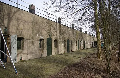 Edam Fort Historic site, Edam-Volendam7.4 km E
-
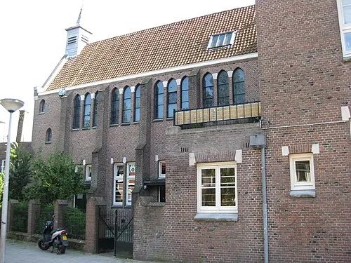 Sint Rosaklooster Attraction, Gemeente Amsterdam13 km S
-
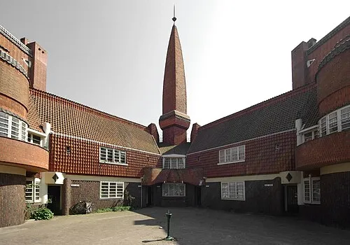 Het Schip Museum, Gemeente Amsterdam14 km SW
-
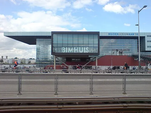 Bimhuis Attraction, Gemeente Amsterdam14 km S
-
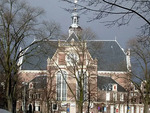 Noorderkerk Attraction, Gemeente Amsterdam15 km S
-
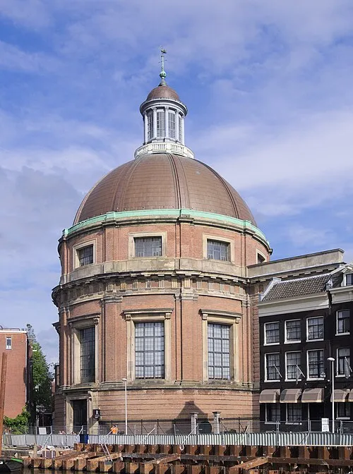 Ronde Lutherse Kerk Attraction, Gemeente Amsterdam15 km S
-
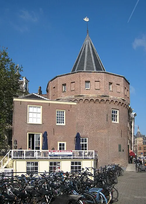 Schreierstoren Landmark, Gemeente Amsterdam15 km S
-
 Sexmuseum Amsterdam Museum, Gemeente Amsterdam15 km S
Sources & licences
Data last updated: