Diemen Municipality
Located in North Holland, The Netherlands Coordinates: 52°20′30″ N 4°58′05″ E
- Population
- 31,334
- 31.3K
- Elevation
- 2 m
- above sea level
- Local time
- UTC+01:00
- Europe/Amsterdam · UTC+01:00
- Places inside
- 3
- listed under Diemen Municipality
- Airports
- AMS Amsterdam Airport Schiphol14 km
- RTM Rotterdam The Hague Airport56 km
About Diemen Municipality
Diemen Municipality is a district. Location: North Holland, The Netherlands. Population: 31,334.
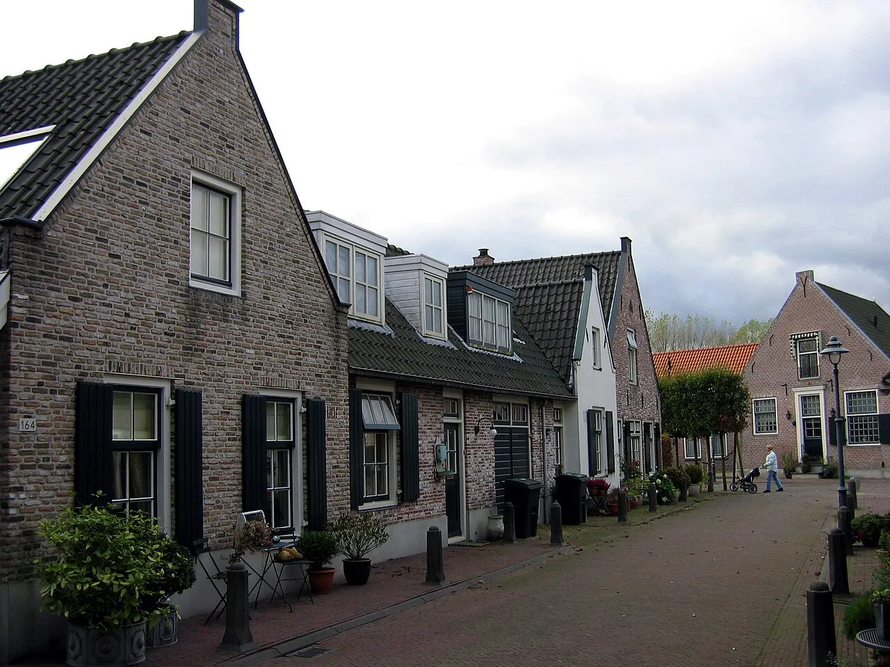
Diemen (Dutch pronunciation: [ˈdimə(n)] ) is a town and municipality with a population of 31,334 in the province of North Holland, Netherlands. It is located approximately 6 km (3.7 mi) southeast of Amsterdam's city centre, within the Amsterdam metropolitan area.
Source: Wikipedia · CC BY-SA 4.0
Photos of Diemen Municipality
-
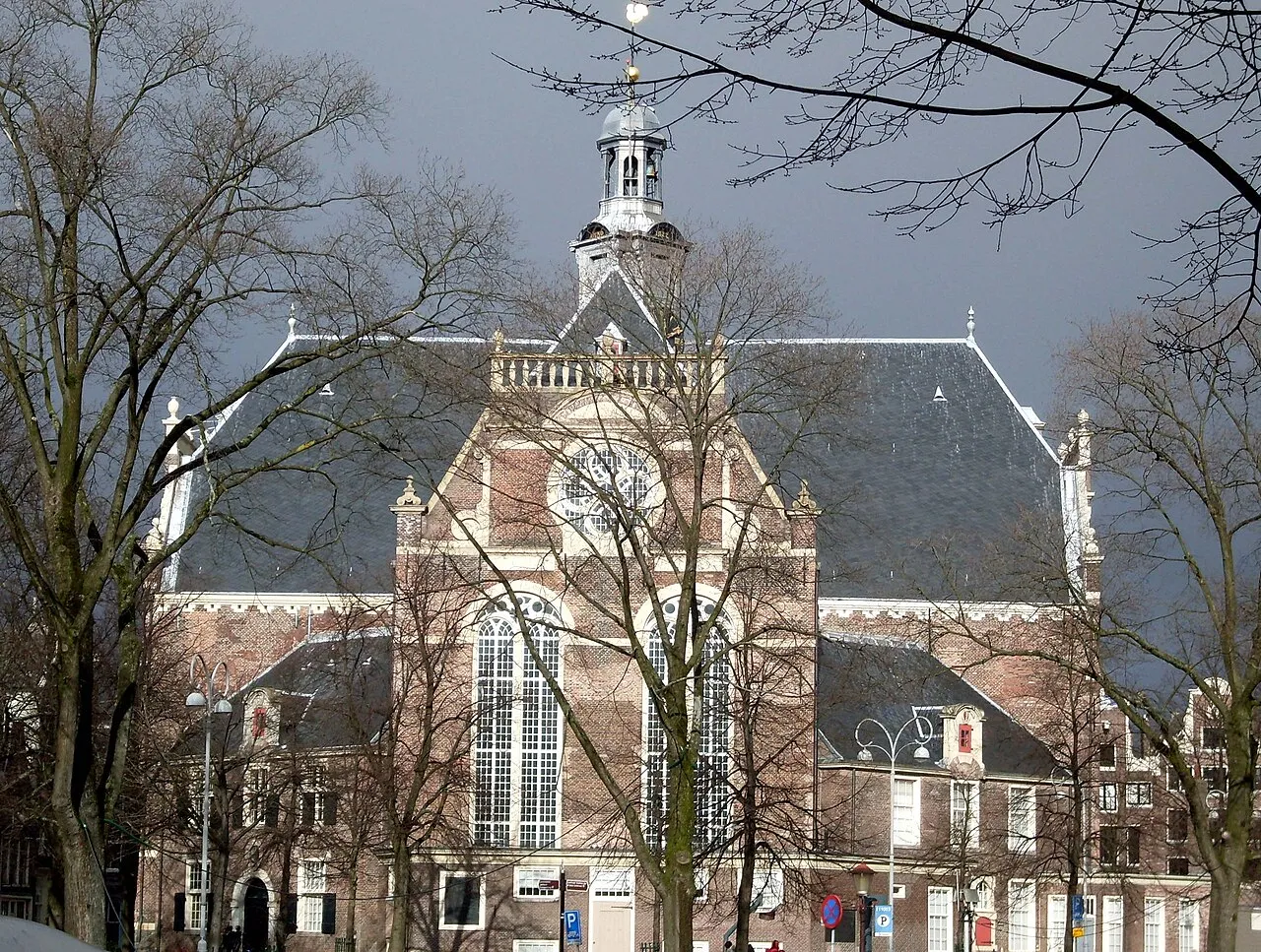
Noorderkerk Marcel mulder · CC BY-SA 3.0 nl -
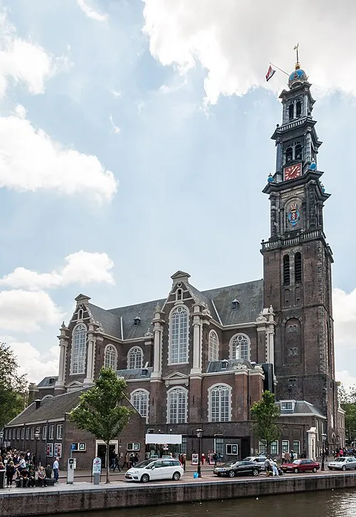
Westerkerk Dietmar Rabich · CC BY-SA 4.0 -
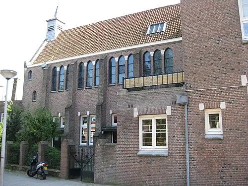
Sint Rosaklooster Marion Golsteijn · CC BY-SA 3.0 nl -
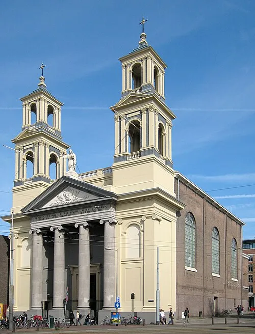
Mozes en Aäronkerk S Sepp · CC BY-SA 3.0 -
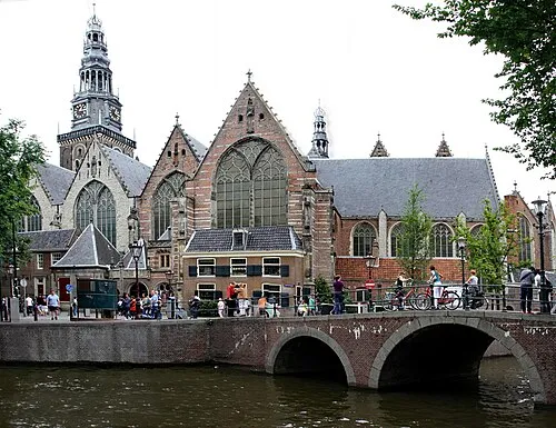
Oude Kerk Gerd Eichmann · CC BY-SA 4.0


Travel notes for Diemen Municipality
From Wikivoyage
Diemen is in Amstelland. It is a suburb of Amsterdam.
Get in+
By car:
Amsterdam and Diemen are separated by the A10 ring-road, the exit Amsterdam-Watergraafsmeer can be used to access most parts of Diemen. Diemen can be reached from The Hague, Rotterdam and Leiden using the A4 followed by the A10 ring-road. Utrecht, Den Bosch and Eindhoven can use the A2, followed by the A10 ring-road. Apeldoorn and everything north of there is best off using the A1, exiting at the exit Diemen or continuing on the A1 followed by a short section A10 and exiting at Amsterdam-Watergraafsmeer, depending on where you want to be in Diemen.
By public transit:
Tram line 19 goes from Sloterdijk via Leidseplein, Weesperplein to Diemen. It is a 30 minute ride from Leidseplein. If you are coming from the Central Station the best way is to take the metro 51 53 54 to Weesperplein and from there on take the tram to Diemen, as there is no longer a direct tram line from Central station to Diemen.
Diemen also has two train stations: Diemen and Diemen Zuid. You can take the SPR from Amersfoort to 1 Station Diemen.
By bike:
As Amsterdam is the bike capital of the world, the best way to explore Amsterdam and its suburbs is by bike. It is approximately 7 km to Diemen from Dam square. That might be a long ride but you also see parts of the Plantage and Oost neighbourhoods.
Source: Wikivoyage · CC BY-SA 4.0 · abridged
Places bordering Diemen Municipality
- Muiden
Population of Diemen Municipality over time
| 1960 | 7,679 | |
|---|---|---|
| 1971 | 10,541 | |
| 1980 | 14,671 | |
| 1990 | 19,691 | |
| 2000 | 23,835 | |
| 2010 | 25,012 | |
| 2016 | 26,891 | |
| 2017 | 27,272 | |
| 2018 | 28,121 | |
| 2019 | 29,196 | |
| 2020 | 30,780 | |
| 2021 | 31,334 |
Censuses and official estimates; source: Wikidata.
Climate of Diemen Municipality
Best months for sightseeingBest months for sightseeing: June–August.
This month · November
A cold month
Day 9° · Night 4° · Rain 95 mm
- Hottest month
- August (day 22°)
- Coldest month
- February (night 0°)
- Wettest month
- November (95 mm)
- Driest month
- April (46 mm)
Bars: average monthly low and high temperature. Below: precipitation. Monthly averages for 1970–2000 at about 18 km resolution, adjusted for elevation. Highlighted months are mild and relatively dry. Source: WorldClim 2.1 (CC BY 4.0).
Show values as a table
| Month | Jan | Feb | Mar | Apr | May | Jun | Jul | Aug | Sep | Oct | Nov | Dec |
|---|---|---|---|---|---|---|---|---|---|---|---|---|
| Average high (°C) | 6° | 6° | 9° | 12° | 17° | 19° | 21° | 22° | 18° | 14° | 9° | 7° |
| Average low (°C) | 1° | 0° | 3° | 4° | 8° | 11° | 13° | 13° | 10° | 7° | 4° | 2° |
| Precipitation (mm) | 71 | 52 | 66 | 46 | 53 | 69 | 70 | 63 | 87 | 91 | 95 | 85 |
How to get to Diemen Municipality
The nearest airport is Amsterdam Airport Schiphol (AMS), 14 km to the west as the crow flies. The nearest large city is Amsterdam, 6 km to the northwest.
Airports
- Amsterdam Airport Schiphol (AMS) Amsterdam 14 kmwest
- Rotterdam The Hague Airport (RTM) Rotterdam 56 kmsouthwest
- Eindhoven Airport (EIN) Eindhoven 103 kmsouth
Nearby large cities
- Amsterdam Population: 741.6K 6 kmnorthwest
- Zaanstad Population: 140.1K 16 kmnorthwest
- Almere Stad Population: 176.4K 17 kmeast
- Hoofddorp Population: 132.7K 20 kmwest
- Haarlem Population: 162.5K 23 kmwest
Straight-line distances; road distances are longer. Airport data: OurAirports.
Day trips from Diemen Municipality
Within 100 km: 140 historic and cultural sites, 103 natural sites, 32 lakes, rivers and coasts.
0–25 km64 places
- Zwarte Berg Mountain 22 kmSE
- Hoorneboeg Mountain 21 kmSE
- Eikenberg Mountain 17 kmE
- Bait-ul-Afiyat Attraction 13 kmE
25–60 km79 places
- Habana Beach Beach 60 kmSW
- Strandslag Voordijk Beach 59 kmN
- Strandslag Sint Maartenszee Beach 55 kmN
- Strandslag Petten Beach 52 kmNW
60–100 km132 places
- IJsselmonde Island 61 kmSW
- Texel Island 83 kmN
- Putjensberg Mountain 70 kmE
- Poppelsche Leij River 92 kmS
Straight-line distances.
Places in Diemen Municipality
3 placesBar: population relative to the most populous place in this list.
Nearby attractions & nature
Everything nearby-
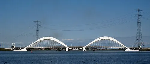 Enneüs Heerma Bridge Landmark, North Holland2.7 km N
-
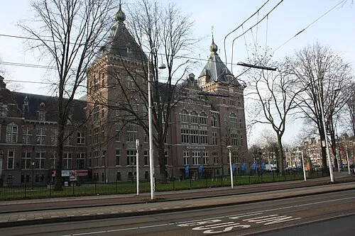 Tropenmuseum Museum, Gemeente Amsterdam3.9 km NW
-
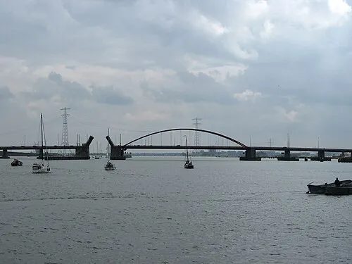 Schellingwouderbrug Landmark, North Holland4.1 km N
-
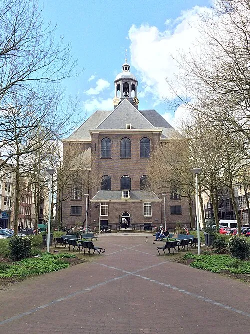 Oosterkerk Attraction, Gemeente Amsterdam4.6 km NW
-
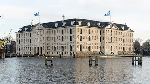 Nederlands Scheepvaartmuseum Museum, Gemeente Amsterdam4.9 km NW
-
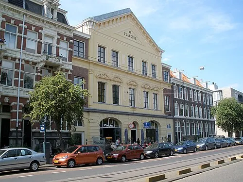 Dutch Resistance Museum Museum, Gemeente Amsterdam4.8 km NW
Sources & licences
Data last updated: · 2 independent sources