Hilversum Municipality
Located in North Holland, The Netherlands Coordinates: 52°13′21″ N 5°10′04″ E
- Population
- 90,261
- 90.3K
- Elevation
- 16 m
- above sea level
- Local time
- UTC+01:00
- Europe/Amsterdam · UTC+01:00
- Places inside
- 6
- listed under Hilversum Municipality
About Hilversum Municipality
Hilversum Municipality is a district. Location: North Holland, The Netherlands. Population: 90,261.
Hilversum (Dutch pronunciation: [ˈɦɪlvərsʏm] ) is a city and municipality in the province of North Holland, Netherlands. Located in the heart of the Gooi, it is the largest urban centre in that area. It is surrounded by heathland, woods, meadows, lakes and smaller towns. Hilversum is part of the Randstad, one of the largest conurbations in Europe, and the Amsterdam metropolitan area; it is about 22 km southeast of Amsterdam's city centre and about 15 km north of Utrecht.
Read more on Wikipedia Text: Wikipedia contributors · CC BY-SA 4.0 · shortened
At a glance
- Area
- 46.2 km²
Source: Wikidata
In comparison
- 4 sights and natural places within 10 km Hoorneboeg, Zwarte Berg
- Listed here: Mountain: 2, Neighbourhood: 2, Town: 1, Village: 1
Airports nearest to Hilversum Municipality
- Amsterdam Airport Schiphol (AMS) Amsterdam 29 km
- Rotterdam The Hague Airport (RTM) Rotterdam 58 km
- Eindhoven Airport (EIN) Eindhoven 87 km
Straight-line distance; airports with scheduled flights only. Source: OurAirports (public domain).
Places in Hilversum Municipality
6 places-
Hilversum Town83.6K
-
Kerkelanden Neighbourhood5.7K
-
Hilversumse Meent Neighbourhood4.1K
-
Egelshoek Village135
-
Hoorneboeg Mountain
-
Zwarte Berg Mountain
Nearby attractions & nature
Everything nearby-
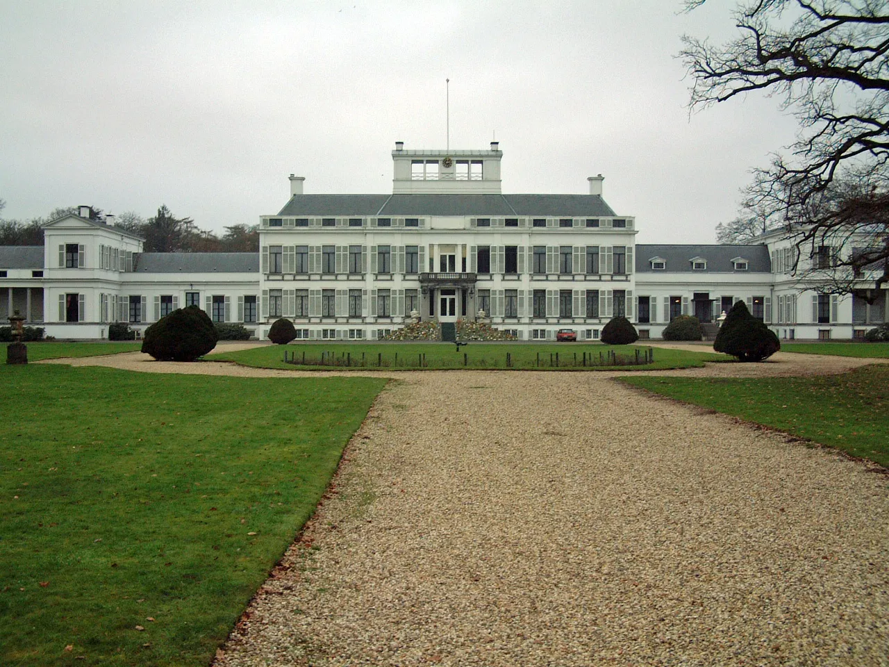 Soestdijk Palace Historic site, Baarn Municipality8.3 km SE
-
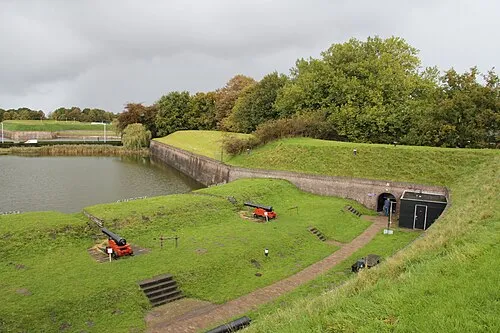 Dutch Fortress Museum Historic site, Gooise Meren7.8 km N
-
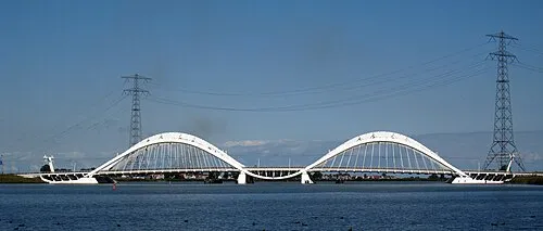 Enneüs Heerma Bridge Landmark, North Holland21 km NW
-
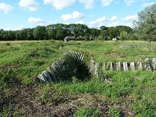 Ruigenhoek Fort Historic site, De Bilt Municipality11 km S
-
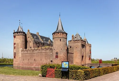 Muiderslot Historic site, Gooise Meren14 km NW
-
 Museum Catharijneconvent Museum, Gemeente Utrecht15 km S
Sources & licences
Data last updated: · 2 independent sources