Laren Municipality
Local name: Laren
Located in North Holland, The Netherlands Coordinates: 52°14′43″ N 5°13′01″ E
- Population
- 11,146
- 11.1K
- Elevation
- 16 m
- above sea level
- Local time
- UTC+01:00
- Europe/Amsterdam · UTC+01:00
- Places inside
- 1
- listed under Laren Municipality
- Airports
- AMS Amsterdam Airport Schiphol32 km
- RTM Rotterdam The Hague Airport62 km
About Laren Municipality
Laren Municipality is a district. Location: North Holland, The Netherlands. Population: 11,146.
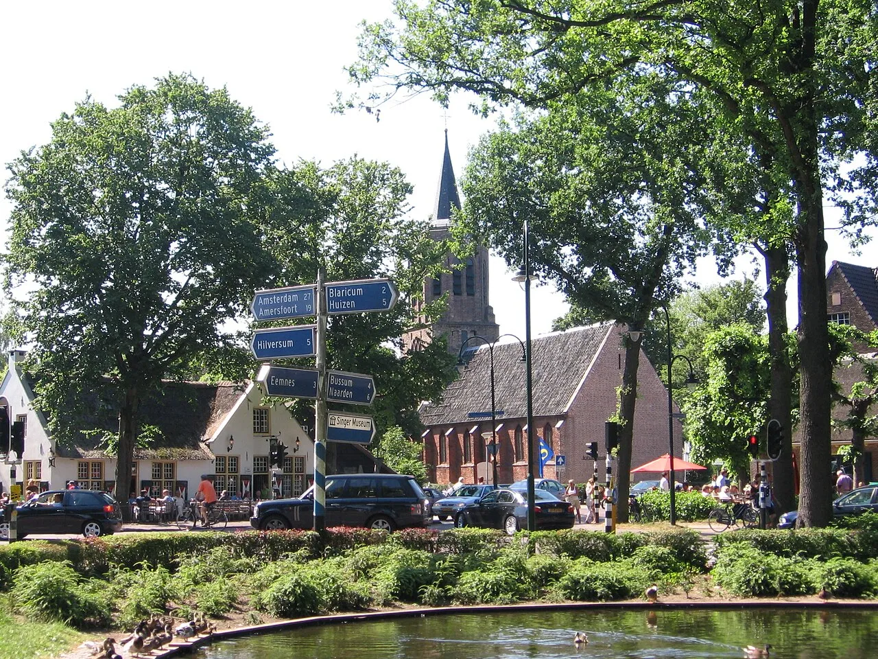
Laren (Dutch pronunciation: [ˈlaːrə(n)] ) is a town and municipality in the province of North Holland, Netherlands. Located in the Gooi region, it is the oldest town in the area. Together with its neighbor Blaricum, Laren is among the most affluent towns in the Netherlands. Nationally, Laren is well known for its history as a late 19th-century art colony, preserved in the museum Singer Laren, its retirement home for elderly artists Rosa Spier Huis, as well as its wide array of shops.
Source: Wikipedia · CC BY-SA 4.0
Travel notes for Laren Municipality
From Wikivoyage
Laren is a village in the Gooi area of North Holland, the Netherlands.
Understand+
The close-by Blaricum is the third wealthiest municipality of the Netherlands and Laren takes the fifth spot.
Source: Wikivoyage · CC BY-SA 4.0 · abridged
Places bordering Laren Municipality
- Hilversum Municipality
Population of Laren Municipality over time
| 1947 | 10,643 | |
|---|---|---|
| 1960 | 13,405 | |
| 1971 | 14,098 | |
| 1980 | 12,656 | |
| 1990 | 11,377 | |
| 2000 | 11,532 | |
| 2010 | 11,418 | |
| 2016 | 10,962 | |
| 2017 | 11,088 | |
| 2018 | 11,146 | |
| 2019 | 11,195 | |
| 2021 | 11,400 |
Censuses and official estimates; source: Wikidata.
Climate of Laren Municipality
Best months for sightseeingBest months for sightseeing: June–August.
This month · November
A cold month
Day 9° · Night 3° · Rain 86 mm
- Hottest month
- August (day 22°)
- Coldest month
- February (night 0°)
- Wettest month
- November (86 mm)
- Driest month
- April (47 mm)
Bars: average monthly low and high temperature. Below: precipitation. Monthly averages for 1970–2000 at about 18 km resolution, adjusted for elevation. Highlighted months are mild and relatively dry. Source: WorldClim 2.1 (CC BY 4.0).
Show values as a table
| Month | Jan | Feb | Mar | Apr | May | Jun | Jul | Aug | Sep | Oct | Nov | Dec |
|---|---|---|---|---|---|---|---|---|---|---|---|---|
| Average high (°C) | 5° | 6° | 9° | 13° | 17° | 20° | 22° | 22° | 19° | 14° | 9° | 6° |
| Average low (°C) | 0° | 0° | 2° | 3° | 7° | 10° | 12° | 12° | 9° | 6° | 3° | 1° |
| Precipitation (mm) | 71 | 53 | 68 | 47 | 61 | 70 | 71 | 60 | 76 | 81 | 86 | 83 |
How to get to Laren Municipality
The nearest airport is Amsterdam Airport Schiphol (AMS), 32 km to the west as the crow flies. The nearest large city is Almere Stad, 14 km to the north.
Airports
- Amsterdam Airport Schiphol (AMS) Amsterdam 32 kmwest
- Rotterdam The Hague Airport (RTM) Rotterdam 62 kmsouthwest
- Eindhoven Airport (EIN) Eindhoven 89 kmsouth
Nearby large cities
- Almere Stad Population: 176.4K 14 kmnorth
- Amersfoort Population: 139.9K 15 kmsoutheast
- Utrecht Population: 376.4K 18 kmsouth
- Amsterdam Population: 741.6K 27 kmnorthwest
- Zaanstad Population: 140.1K 36 kmnorthwest
Straight-line distances; road distances are longer. Airport data: OurAirports.
Day trips from Laren Municipality
Within 100 km: 150 historic and cultural sites, 131 natural sites, 56 lakes, rivers and coasts.
0–25 km34 places
- Zwarte Berg Mountain 7 kmSW
- Hoorneboeg Mountain 7 kmSW
- Galgenberg Mountain 15 kmSE
- Eikenberg Mountain 7 kmN
25–60 km127 places
- Putjensberg Mountain 56 kmE
- Zwarte Berg Mountain 54 kmE
- Zwarte Berg Mountain 37 kmE
- Waterplasberg Mountain 58 kmE
60–100 km176 places
- IJsselmonde Island 64 kmSW
- Texel Island 97 kmN
- Wegmeerheide Natural site 96 kmS
- Staatbossen Natural site 97 kmS
Straight-line distances.
Places in Laren Municipality
1 place
Laren
Population: 11.5K
Nearby attractions & nature
Everything nearby-
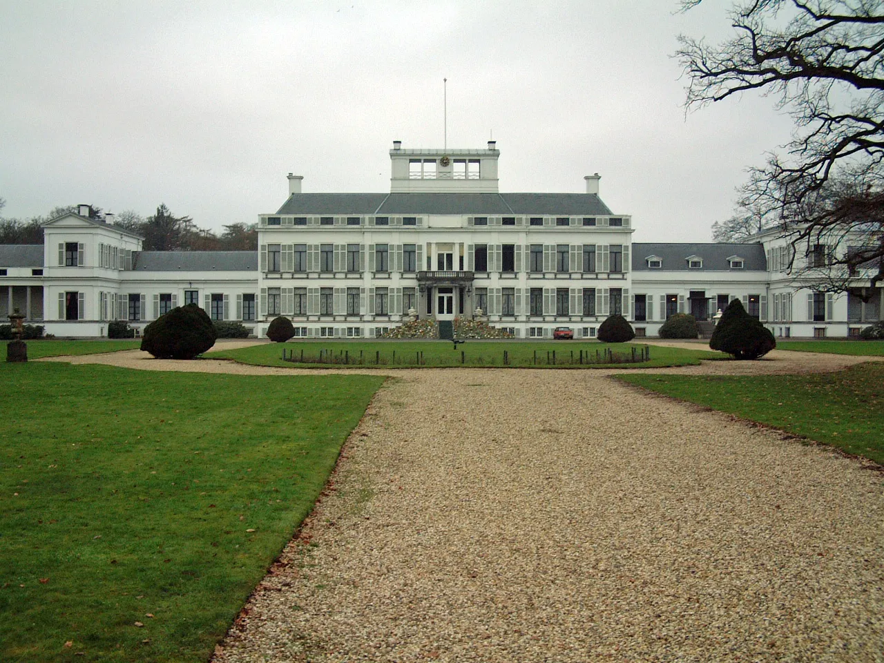 Soestdijk Palace Historic site, Baarn Municipality7.2 km SE
-
Hoorneboeg Mountain, Hilversum Municipality6.5 km SW
-
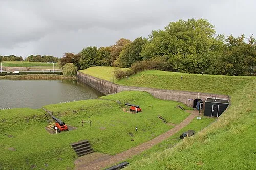 Dutch Fortress Museum Historic site, Gooise Meren6.6 km NW
-
Zwarte Berg Mountain, Hilversum Municipality6.9 km SW
-
Eikenberg Mountain, Gooise Meren7.1 km N
-
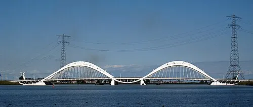 Enneüs Heerma Bridge Landmark, North Holland21 km NW
Sources & licences
Data last updated: · 2 independent sources