Huizen Municipality
Located in North Holland, The Netherlands Coordinates: 52°17′48″ N 5°14′29″ E
- Population
- 41,090
- 41.1K
- Elevation
- 4 m
- above sea level
- Local time
- UTC+01:00
- Europe/Amsterdam · UTC+01:00
- Places inside
- 4
- listed under Huizen Municipality
About Huizen Municipality
Huizen Municipality is a district. Location: North Holland, The Netherlands. Population: 41,090.
Huizen (pronounced [ˈɦœyzə(n)] ) is a municipality and a village in the province of North Holland, the Netherlands. The name "Huizen" is Dutch for "houses" and this usage has been linked to the belief that the first stone houses in the region, instead of the more common sod houses of the time, appeared here. Huizen is part of the metropolitan area of Amsterdam.
Read more on Wikipedia Text: Wikipedia contributors · CC BY-SA 4.0 · shortened
At a glance
- Area
- 23.3 km²
Source: Wikidata
In comparison
- 3 sights and natural places within 10 km Eikenberg, Dutch Fortress Museum
- Listed here: Village: 3, Town: 1
Places in Huizen Municipality
4 places-
Huizen Town41.3K
-
Crailo Village540
-
Bikbergen Village280
-
Huizerhoogt Village95
Nearby attractions & nature
Everything nearby-
Eikenberg Mountain, Gooise Meren2 km NW
-
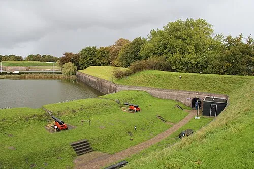 Dutch Fortress Museum Historic site, Gooise Meren5.6 km W
-
Bait-ul-Afiyat Attraction, Gemeente Almere8 km NW
-
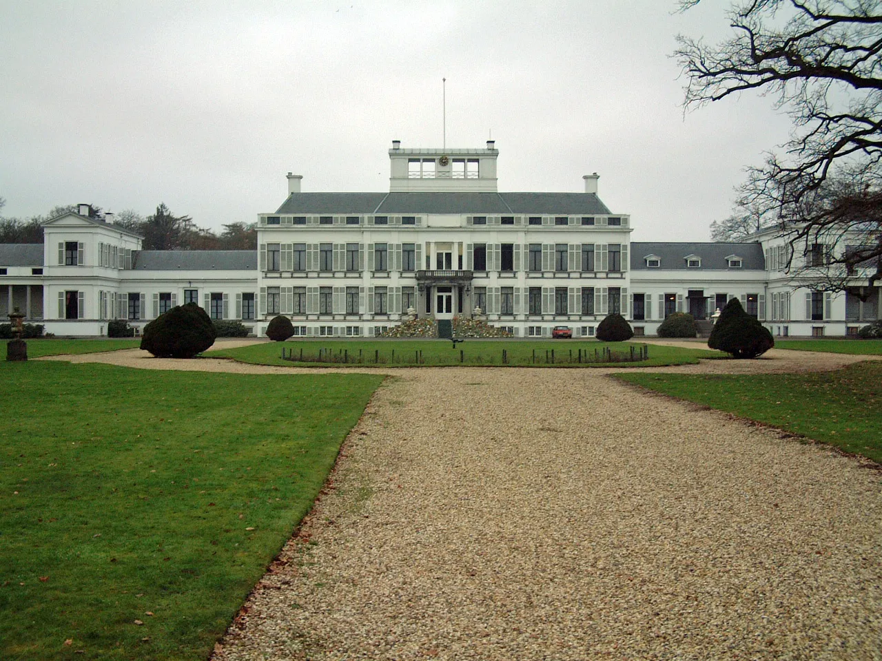 Soestdijk Palace Historic site, Baarn Municipality12 km S
-
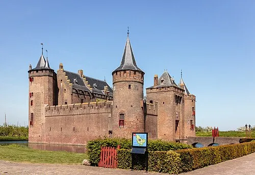 Muiderslot Historic site, Gooise Meren12 km W
-
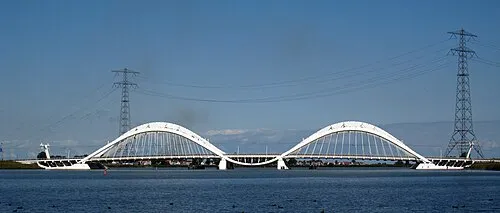 Enneüs Heerma Bridge Landmark, North Holland20 km NW
Sources & licences
Data last updated: · 2 independent sources