Amstelveen Municipality
Local name: Amstelveen
Located in North Holland, The Netherlands Coordinates: 52°17′54″ N 4°51′28″ E
- Population
- 90,829
- 90.8K
- Elevation
- -2 m
- above sea level
- Local time
- UTC+01:00
- Europe/Amsterdam · UTC+01:00
- Places inside
- 3
- listed under Amstelveen Municipality
About Amstelveen Municipality
Amstelveen Municipality is a district. Location: North Holland, The Netherlands. Population: 90,829.
Amstelveen (Dutch pronunciation: [ˌɑmstəlˈveːn] ) is a municipality and city in the province of North Holland, Netherlands, with a population of 95,996 as of 2024. It is a suburban part of the Amsterdam metropolitan area. The municipality of Amstelveen consists of the historical villages of Bovenkerk and Nes aan de Amstel.
Read more on Wikipedia Text: Wikipedia contributors · CC BY-SA 4.0 · shortened
At a glance
- Area
- 42.4 km²
Source: Wikidata
In comparison
- 44 sights and natural places within 10 km Olympic Stadium, Monument Indië-Nederland
- Listed here: Neighbourhood: 1, Town: 1, Village: 1
Airports nearest to Amstelveen Municipality
- Amsterdam Airport Schiphol (AMS) Amsterdam 6 km
- Rotterdam The Hague Airport (RTM) Rotterdam 48 km
- Eindhoven Airport (EIN) Eindhoven 101 km
Straight-line distance; airports with scheduled flights only. Source: OurAirports (public domain).
Places in Amstelveen Municipality
3 places-
Amstelveen Town79.6K
-
Bovenkerk Neighbourhood3.2K
-
Nes aan de Amstel Village995
Nearby attractions & nature
Everything nearby-
Olympic Stadium Landmark, Gemeente Amsterdam5 km N
-
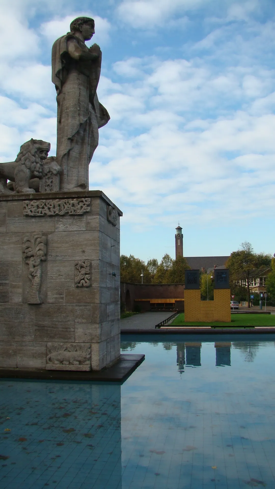 Monument Indië-Nederland Landmark, Gemeente Amsterdam5.8 km N
-
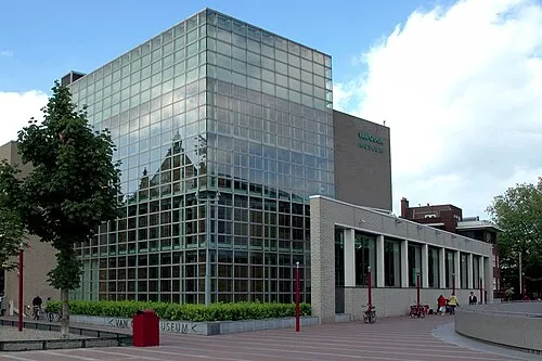 Van Gogh Museum Museum, Gemeente Amsterdam6.9 km N
-
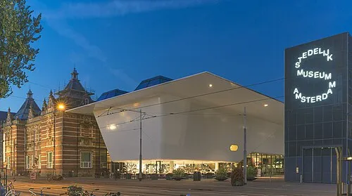 Stedelijk Museum Amsterdam Museum, Gemeente Amsterdam6.8 km N
-
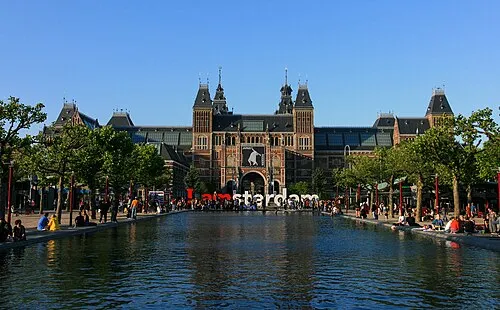 Rijksmuseum Amsterdam Museum, Gemeente Amsterdam7.1 km N
-
Obrechtkerk Attraction, Gemeente Amsterdam6.5 km N
Sources & licences
Data last updated: · 2 independent sources