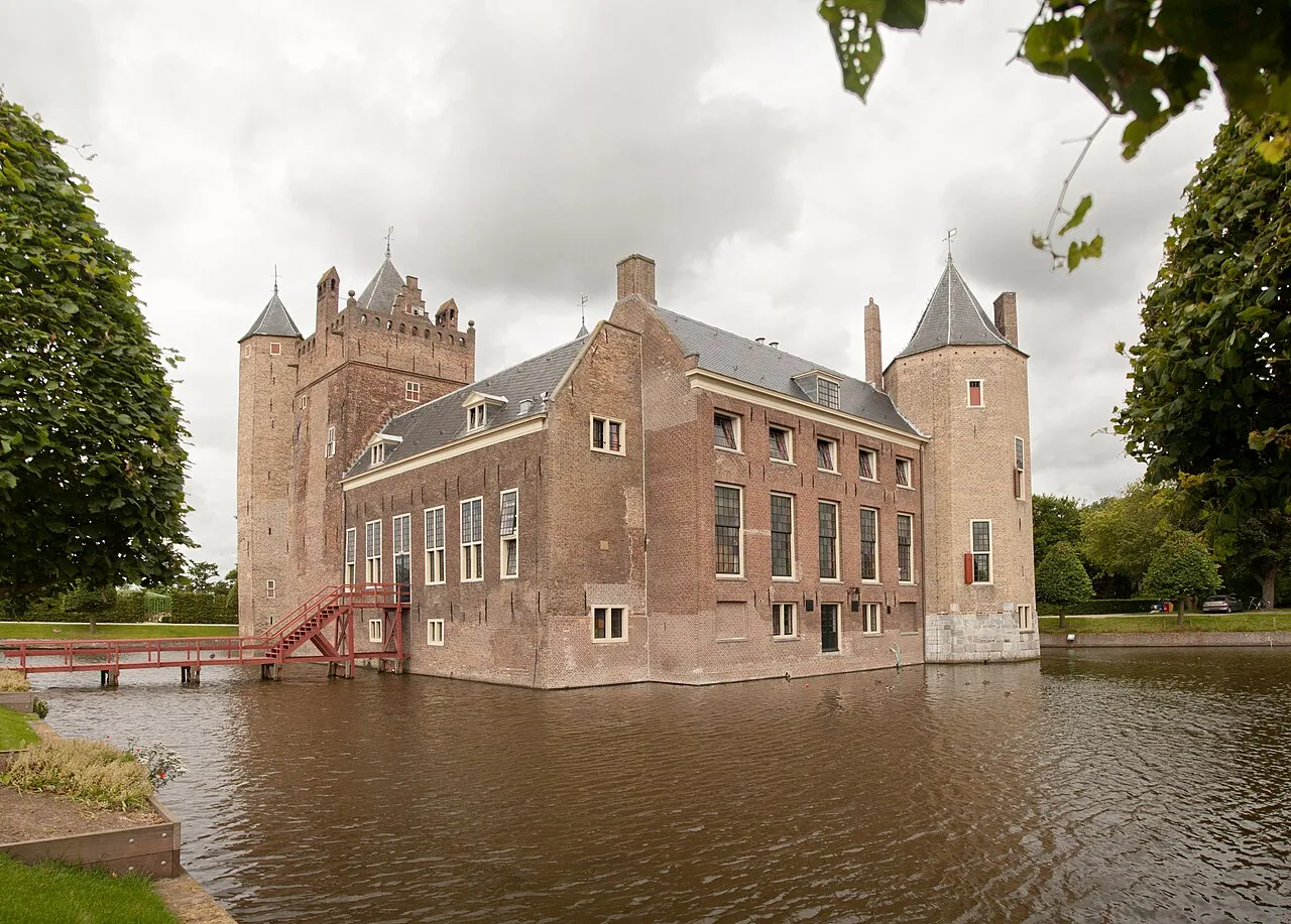
- Population
- 39,191
- 39.2K
- Elevation
- 5 m
- above sea level
- Local time
- UTC+01:00
- Europe/Amsterdam · UTC+01:00
- Airports
- AMS Amsterdam Airport Schiphol23 km
- RTM Rotterdam The Hague Airport64 km
About Heemskerk
Heemskerk is a city. Location: Gemeente Heemskerk, North Holland. Population: 39,191. Elevation: 5 m. The best months to visit are June–August. The nearest airport is Amsterdam Airport Schiphol (23 km). Nearby sights include De Kruisberg and Ham Fort.
Photos of Heemskerk
-

Martin de Lusenet from Heemskerk, Netherlands · CC BY 2.0 -

Martin de Lusenet from Heemskerk, Netherlands · CC BY 2.0 -

Gmhogervorst · CC BY-SA 4.0 -

Gmhogervorst · CC BY-SA 4.0 -

fotojournalist Kees Blokker · CC BY-SA 4.0


Travel notes for Heemskerk
From Wikivoyage
Heemskerk is a town in North Holland in the Netherlands.
Get in+
By plane:
Heemskerk is about a 25 minute drive from Amsterdam Schiphol Airport.
By train:
Heemskerk has a train station served by local trains between Uitgeest and Haarlem. However, because of its location, lack of service, and the lack of a bus stop the station is predominantly used by people who live nearby. The train stations in Beverwijk and Uitgeest have more service, and are linked to all of Heemskerk by bus (line 74 en 167 from Beverwijk and line 73 from both).
By car:
Heemskerk is easily accessible by car. It has an exit on the A9 motorway. It takes approximately 30 minutes to Amsterdam, 20 to Haarlem and Alkmaar.
By bus:
Line 167 runs from Castricum to Beverwijk via the centre of Heemskerk. Line 74 starts in the north of Heemskerk and runs through all of Heemskerk to end op in IJmuiden via Beverwijk. Line 73 starts in Uitgeest and runs through Heemskerk to Haarlem via Beverwijk. All three lines have a common stop on the Ruysdaelstraat. For longer distances the bus is not the fastest option. Locals primarily use the bus for local trips in bad weather of to get to the train station in either Beverwijk or Uitgeest.
By boat:
If coming from Amsterdam a fun way to get to Heemskerk might be by taking the Fast Flying Ferry from behind Centraal Station in Amsterdam to Pontplein in Velsen-Zuid. The hydrofoil takes about 25 minutes. From Velsen-Zuid it is about a 25 minute busride to Heemskerk.
If coming from England you could take the ferry from Newcastle to IJmuiden. From IJmuiden Heemskerk is about a 30 minute busride away.
If coming from below the North Sea Canal you could also cycle and take the free ferry from Velsen-Zuid to Velsen-Noord which goes every 20 minutes (24/7). From Velsen-Noord it takes about 20–35 minutes depending on your speed.
Source: Wikivoyage · CC BY-SA 4.0 · abridged
Climate of Heemskerk
Best months for sightseeingBest months for sightseeing: June–August.
This month · November
A cold month
Day 10° · Night 4° · Rain 97 mm
- Hottest month
- August (day 21°)
- Coldest month
- February (night 1°)
- Wettest month
- October (100 mm)
- Driest month
- April (42 mm)
Bars: average monthly low and high temperature. Below: precipitation. Monthly averages for 1970–2000 at about 18 km resolution, adjusted for elevation. Highlighted months are mild and relatively dry. Source: WorldClim 2.1 (CC BY 4.0).
Show values as a table
| Month | Jan | Feb | Mar | Apr | May | Jun | Jul | Aug | Sep | Oct | Nov | Dec |
|---|---|---|---|---|---|---|---|---|---|---|---|---|
| Average high (°C) | 5° | 6° | 9° | 11° | 16° | 18° | 20° | 21° | 18° | 14° | 10° | 7° |
| Average low (°C) | 1° | 1° | 3° | 4° | 8° | 11° | 13° | 13° | 11° | 8° | 4° | 2° |
| Precipitation (mm) | 68 | 47 | 61 | 42 | 48 | 61 | 63 | 63 | 90 | 100 | 97 | 83 |
How to get to Heemskerk
The nearest airport is Amsterdam Airport Schiphol (AMS), 23 km to the south as the crow flies. The nearest large city is Zaanstad, 12 km to the southeast.
Airports
- Amsterdam Airport Schiphol (AMS) Amsterdam 23 kmsouth
- Rotterdam The Hague Airport (RTM) Rotterdam 64 kmsouth
- Eindhoven Airport (EIN) Eindhoven 128 kmsouth
Nearby large cities
- Zaanstad Population: 140.1K 12 kmsoutheast
- Haarlem Population: 162.5K 15 kmsouth
- Amsterdam Population: 741.6K 21 kmsoutheast
- Hoofddorp Population: 132.7K 23 kmsouth
- Almere Stad Population: 176.4K 40 kmsoutheast
Straight-line distances; road distances are longer. Airport data: OurAirports.
Day trips from Heemskerk
Within 100 km: 120 historic and cultural sites, 62 natural sites, 19 lakes, rivers and coasts.
0–25 km57 places
- De Kruisberg Mountain 4 kmNW
- Baaknol Mountain 23 kmN
- Obrechtkerk Attraction 22 kmSE
- Noorderkerk Attraction 21 kmSE
25–60 km51 places
- Habana Beach Beach 58 kmSW
- Strandslag Zandloper Beach 43 kmN
- Strandslag Voordijk Beach 38 kmN
- Strandslag Sint Maartenszee Beach 32 kmN
60–100 km93 places
- IJsselmonde Island 72 kmS
- Texel Island 65 kmN
- Putjensberg Mountain 91 kmE
- Ouddorp Beach Beach 93 kmSW
Straight-line distances.
Nearby attractions & nature
Everything nearby-
De Kruisberg Mountain, Gemeente Heemskerk3.6 km NW
-
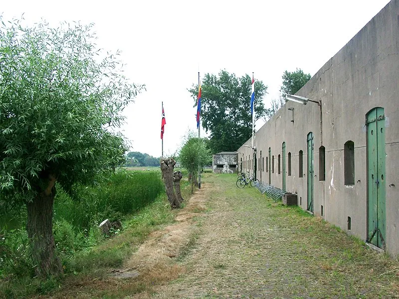 Ham Fort Historic site, Uitgeest Municipality4.4 km E
-
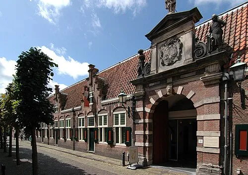 Frans Hals Museum Museum, Gemeente Haarlem15 km S
-
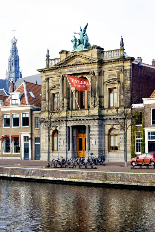 Teylers Museum Museum, Gemeente Haarlem15 km S
-
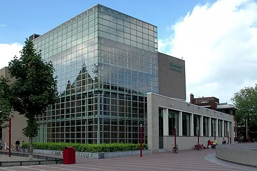 Van Gogh Museum Museum, Gemeente Amsterdam22 km SE
-
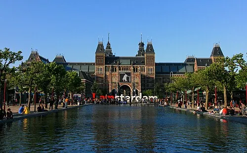 Rijksmuseum Amsterdam Museum, Gemeente Amsterdam22 km SE
-
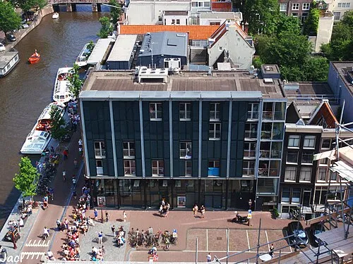 Anne Frank House Museum, Gemeente Amsterdam21 km SE
-
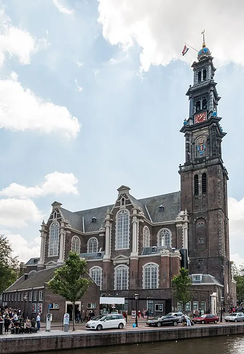 Westerkerk Attraction, Gemeente Amsterdam21 km SE
Sources & licences
Data last updated: