Velsen Municipality
Located in North Holland, The Netherlands Coordinates: 52°27′07″ N 4°37′56″ E
- Population
- 68,617
- 68.6K
- Elevation
- 8 m
- above sea level
- Local time
- UTC+01:00
- Europe/Amsterdam · UTC+01:00
- Places inside
- 8
- listed under Velsen Municipality
About Velsen Municipality
Velsen Municipality is a district. Location: North Holland, The Netherlands. Population: 68,617.
In comparison
- 7 sights and natural places within 10 km Nassaubrug, Kruisbrug
- Listed here: Town: 4, Village: 3, Neighbourhood: 1
Places in Velsen Municipality
8 places-
IJmuiden Town31.9K
-
Velserbroek Town15.4K
-
Velsen-Noord Town15.3K
-
Santpoort-Noord Town7.3K
-
Velsen Village3.9K
-
Santpoort-Zuid Village3.4K
-
Hofgeest Neighbourhood1.4K
-
Driehuis Village1.2K
Nearby attractions & nature
Everything nearby-
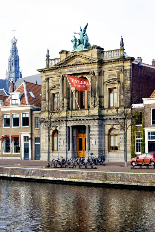 Teylers Museum Museum, Gemeente Haarlem8 km S
-
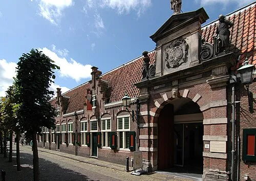 Frans Hals Museum Museum, Gemeente Haarlem8.4 km S
-
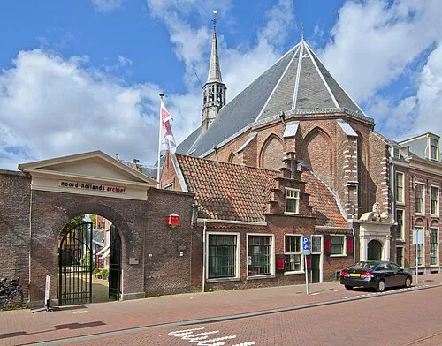 Janskerk Attraction, Gemeente Haarlem7.6 km S
-
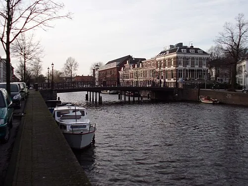 Nassaubrug Landmark, Gemeente Haarlem7.4 km S
-
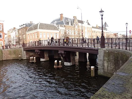 Kruisbrug Landmark, Gemeente Haarlem7.4 km S
-
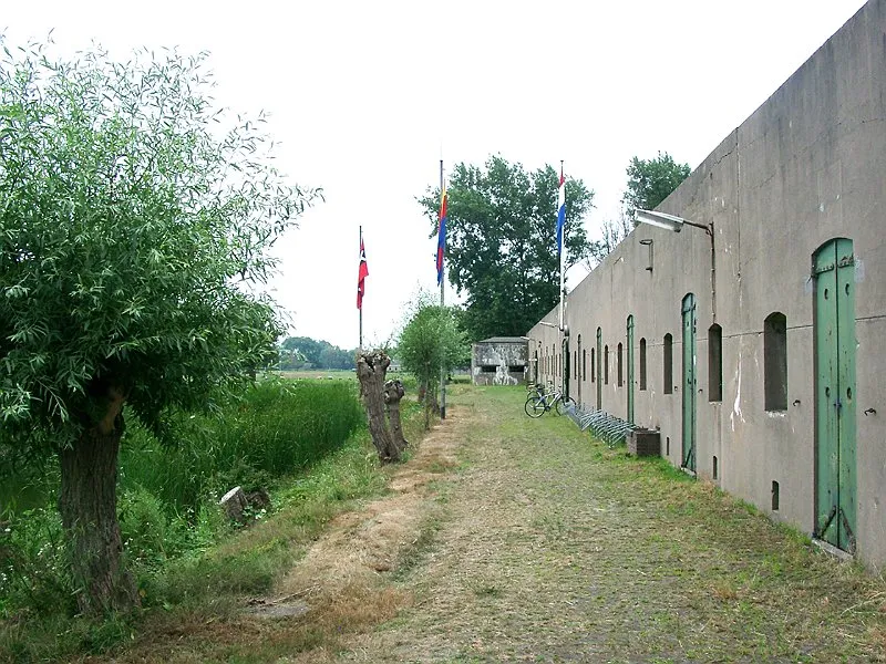 Ham Fort Historic site, Uitgeest Municipality9 km NE
Sources & licences
Data last updated: