Gemeente Heemstede
Located in North Holland, The Netherlands Coordinates: 52°20′50″ N 4°37′06″ E
- Population
- 27,545
- 27.5K
- Elevation
- 5 m
- above sea level
- Local time
- UTC+01:00
- Europe/Amsterdam · UTC+01:00
- Places inside
- 2
- listed under Gemeente Heemstede
About Gemeente Heemstede
Gemeente Heemstede is a district. Location: North Holland, The Netherlands. Population: 27,545.
Heemstede (Dutch pronunciation: [ˈɦeːmsteːdə] ) is a town and a municipality in the Western Netherlands, in the province of North Holland. In 2021, it had a population of 27,545. Located just south of the city of Haarlem on the border with South Holland, it is one of the richest municipalities of the Netherlands.
Read more on Wikipedia Text: Wikipedia contributors · CC BY-SA 4.0 · shortened
At a glance
- Area
- 9.6 km²
Source: Wikidata
In comparison
- 5 sights and natural places within 10 km Frans Hals Museum, Teylers Museum
- Listed here: Neighbourhood: 1, Town: 1
Places in Gemeente Heemstede
2 placesNearby attractions & nature
Everything nearby-
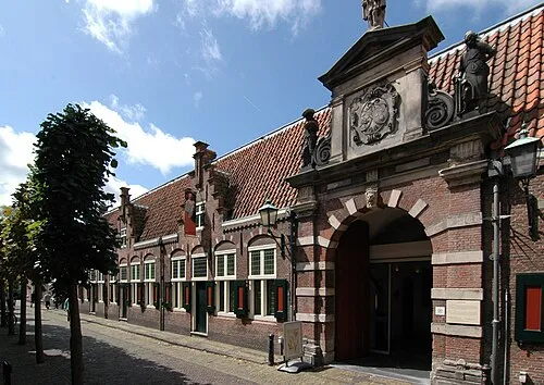 Frans Hals Museum Museum, Gemeente Haarlem3.4 km N
-
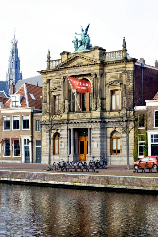 Teylers Museum Museum, Gemeente Haarlem4 km N
-
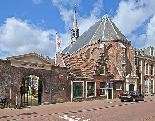 Janskerk Attraction, Gemeente Haarlem4.2 km N
-
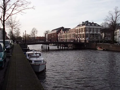 Nassaubrug Landmark, Gemeente Haarlem4.4 km N
-
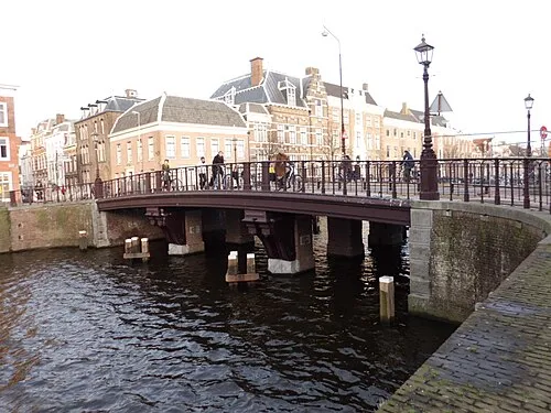 Kruisbrug Landmark, Gemeente Haarlem4.4 km N
-
Olympic Stadium Landmark, Gemeente Amsterdam16 km E
Sources & licences
Data last updated: · 2 independent sources