Dulder
Located in Gemeente Dinkelland, Overijssel Coordinates: 52°20′18″ N 6°48′00″ E
- Elevation
- 14 m
- above sea level
- Local time
- UTC+01:00
- Europe/Amsterdam · UTC+01:00
About Dulder
Dulder is a village. Location: Gemeente Dinkelland, Overijssel. Elevation: 14 m.
Dulder is a hamlet in the Dutch province of Overijssel. It is a part of the municipality of Dinkelland, and lies about 8 km north of Hengelo. The statistical area includes the hamlets of 't Loo, Noordijk and Zoeke, and therefore the figure is too high. It was first mentioned in the late-10th century as Thuleri. The etymology is unclear. Im 1840, it was home to 932 people.
Read more on Wikipedia Text: Wikipedia contributors · CC BY-SA 4.0 · shortened
In comparison
Nearby attractions & nature
Everything nearby-
Kersberg Mountain, Gemeente Dinkelland10 km NE
-
Tutenberg Mountain, Tubbergen Municipality11 km N
-
Braamberg Mountain, Tubbergen Municipality11 km N
-
Paasberg Mountain, Losser Municipality12 km E
-
Galgenberg Mountain, Lower Saxony13 km N
-
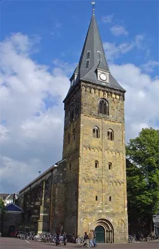 Grote Kerk Attraction, Enschede Municipality15 km SE
Sources & licences
Data last updated: · 2 independent sources