Lemselo
Located in Gemeente Dinkelland, Overijssel Coordinates: 52°20′21″ N 6°53′35″ E
- Elevation
- 24 m
- above sea level
- Local time
- UTC+01:00
- Europe/Amsterdam · UTC+01:00
About Lemselo
Lemselo is a village. Location: Gemeente Dinkelland, Overijssel. Elevation: 24 m.
Lemselo is a hamlet in the Dutch province of Overijssel. It is a part of the municipality of Dinkelland, and lies about 3 km northwest of Oldenzaal. Lemselo is not a statistical entity, and the postal authorities have placed it under Weerselo. It was first mentioned in the late-10th century as Lamesloe, and means "forest of Lam (person)". Despite its size, it is not marked with place name signs. In 1840, it was home to 402 people. Nowadays, it contains about 180 houses.
Read more on Wikipedia Text: Wikipedia contributors · CC BY-SA 4.0 · shortened
In comparison
- Nearest larger town: Rossum, 2 km NE
- 2 sights and natural places within 10 km Paasberg, Kersberg
Nearby attractions & nature
Everything nearby-
Paasberg Mountain, Losser Municipality5.6 km E
-
Kersberg Mountain, Gemeente Dinkelland8.6 km N
-
Tutenberg Mountain, Tubbergen Municipality11 km N
-
Braamberg Mountain, Tubbergen Municipality11 km N
-
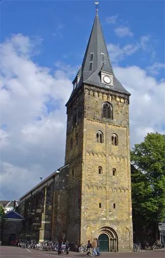 Grote Kerk Attraction, Enschede Municipality13 km S
-
Langer Berg Mountain, Halle12 km N
Sources & licences
Data last updated: · 2 independent sources